| Italy |
|
|
|
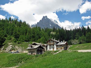
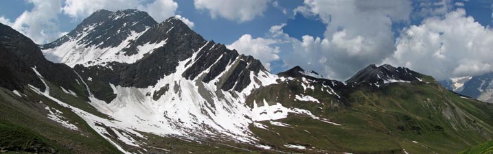
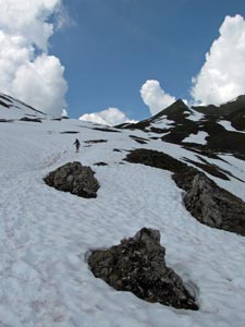
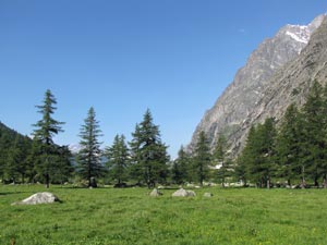
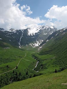
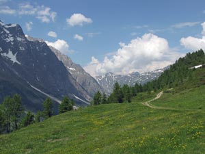
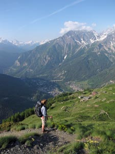
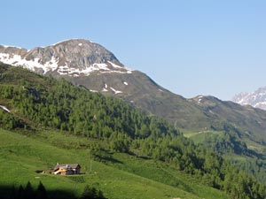
 Early morning views from Elisabetta |
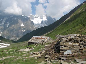
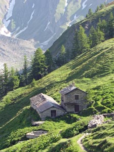
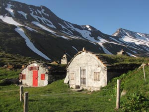 Old storage buildings at Elisabetta |
|
|
|
|
|
|
|
|
|
||
|
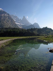
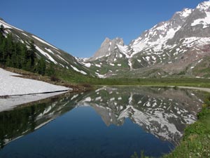
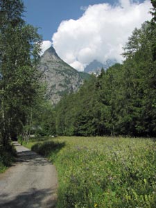
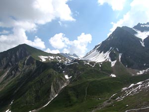
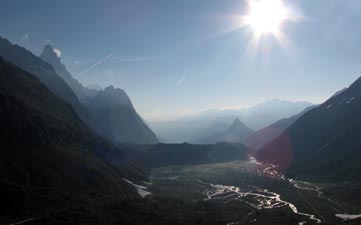
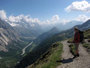
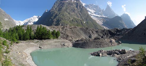 The glacier-fed Lac du Miage backed by the blackened ice face and morain From here, we had to retrace our steps a bit to leave the road and take a foot-path steeply up the eastern slope of the valley - the TMB was taking us up to the grand balcony for some spectacular alpine views. We climbed quickly up through the scrub to more open pastures, passing the ruins of an old bergerie at the Alpe Inferieur d'Arpe Vieille, continuing on to edge around a deep ravine formed by tumbling meltwaters over the eons.
|
|
|
|||
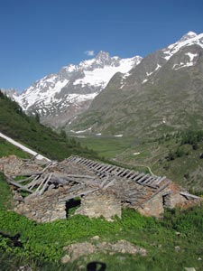 Ruined bergerie at Arpe Vieille |
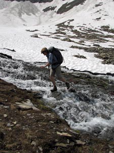
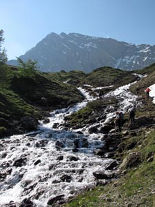 Path blocked by meltwater torrent |
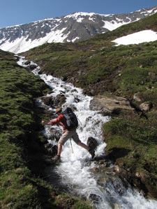 The fair Nello in mid leap |
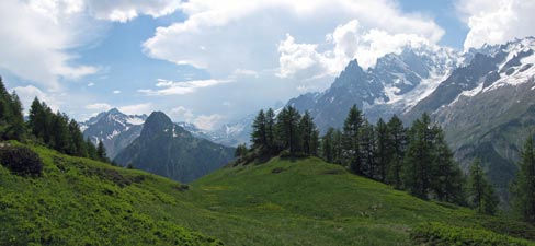
 Crossing the pastures across from Mont Blanc |
|
|
|
|
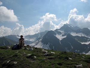
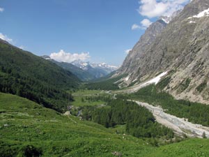
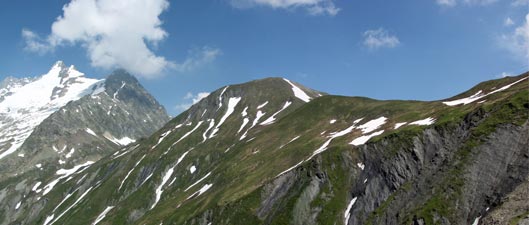
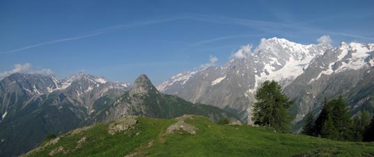
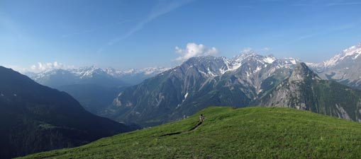
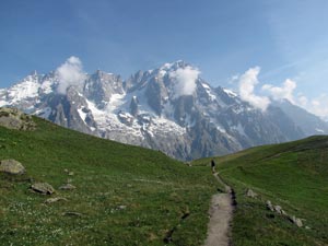
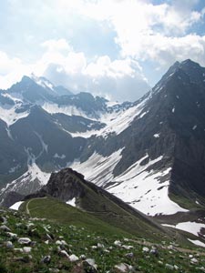
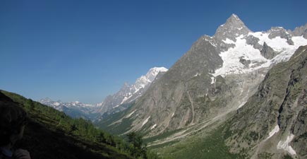
 Looking over the Val Veni from Mont Favre |
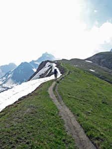
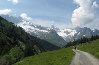
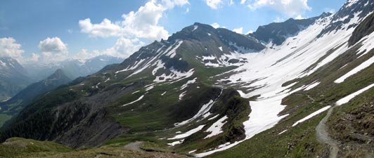 Route of the TMB high above Val Veni |
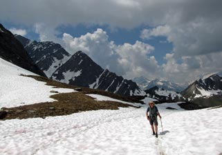
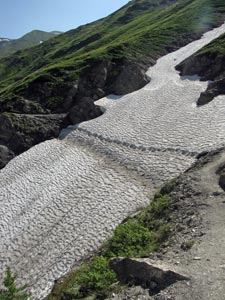
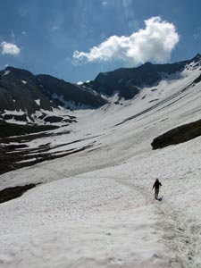 Crossing yet another big drift |
 |
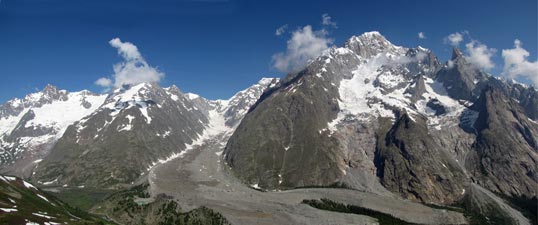
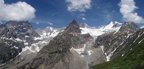
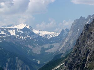
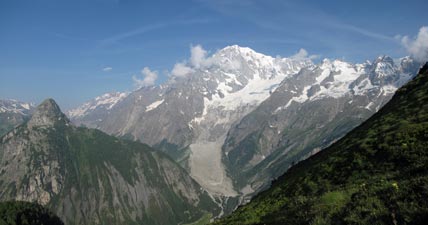
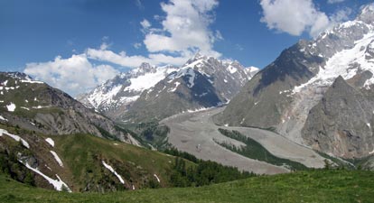 Glacier du Miage curving down between Tré-la-Tête (3930m) and Mont Blanc (4810m) |
|
||
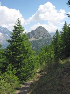 Larch forest near the Col Checrouit |
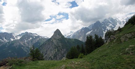
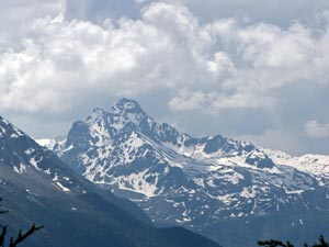
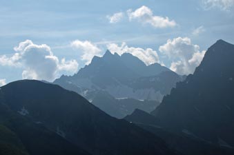
 Aiguille Noire (3772m) piercing the clouds above the Col Checrouit |
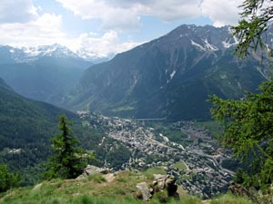
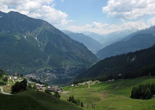 Courmayeur and the Val d'Aosta |
|
||
|
|
|
|
|
|
|
 |
 |
 The village of Dolonne |
 Narrow streets of Dolonne |
|
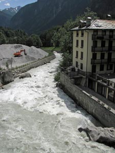 Swollen waters of the Dora Baltea |
|
||
|
|
|||
 |
 |
 |
 |
|
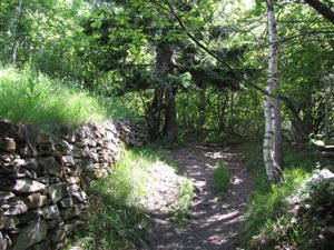
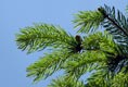
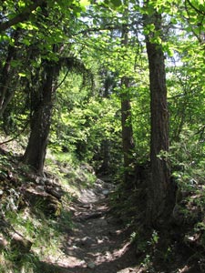 Path through mixed woodland up to Bertone
|
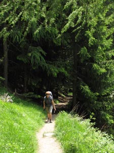
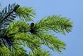
Once across the torrent, we left the road to follow a stone-walled track steeply up into the forest. It soon became a zig-zagging footpath, winding up the slope as larch gradually replaced fir.
Lunch was declared at 1900m, where we could sit in the shade of the larches with a cooling breeze swirling through their canopy. From here, we could look down on the impressive views over Courmayeur, now far below, and the valleys and mountains beyond.
A slow lunch over, we continued the last 100m of the climb, reaching the alpine meadows of Le Pré, just beneath the crest of the ridge. We were out of the valleys and back in the mountains and it felt good.
|
|
|
|
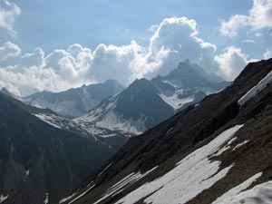
 Cumulus clouds building up over the peaks to the east |
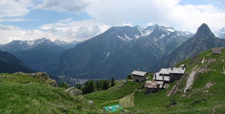 The superbly tranquil setting of Rifugio Bertone |
|
|
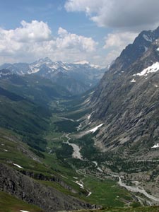
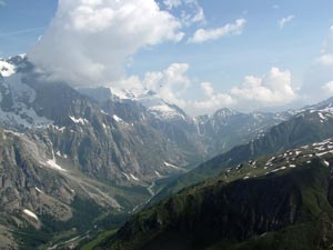
 View south toward the Val Veni and the Col de la Seigne |
 View north up the Val Ferret |
|
||
|
 Morning over the Mont Blanc massif |
|
 Mont Blanc and the Glacier de la Brenva |
 |
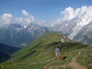
 Climbing up to the Mont de la Saxe |
|
||
 Crossing the alpine meadow of the Mont de la Saxe |
 |
 Le Dent du Geant (4013m) |
|
||
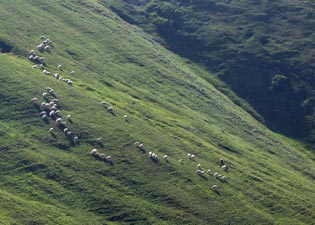 Sheep grazing on the slpes of Val Sapin |
 |
 The Col du Sapin and Tête du Secheron |
|
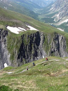
 Crossing the Mont de la Saxe towards Les Grandes Jorasses |
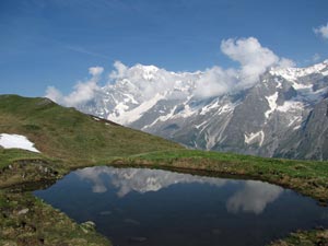 Reflections in a "gouille" |
 Looking back over Mont de la Saxe from near Tête Bernarda |
|
|
|
|
 View from near Tête Bernarda |
 Looking northwards down the Val Ferret |
|
 Curious hoodoos in the upper Val Sapin |
|
 Looking down to the Col du Sapin from La Tronche |
|
||
|
|
|
|
||
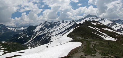
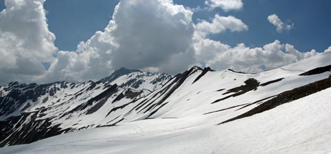
 On the snowy saddle of the Pas d'entre-Deux-Sauts |
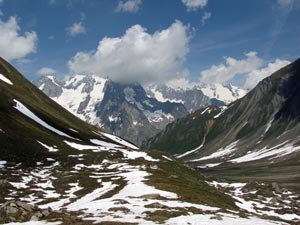 Lower Val de Malatra |
|
|
|||
|
|
|
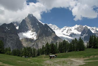
 Rifugio Bonatti facing the 2000m rock face of Les Grand Jorasses |
|
|||
Day 7 - Bonatti to Le Lechère (18.5km - 950m ascent - 1270m descent)
|
 Farewell to Rifugio Bonatti |
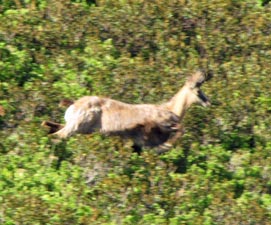 A blur of deer in flight |
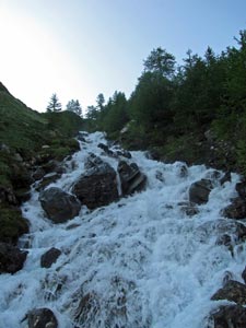 Stream rushing down the shady west-facing slope |
|
||
 |
 |
 |
 |
 |
 |
|
|
||||
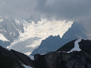
 The imposing rampart of the 4208m Grande Jorasses with Mont Blanc receding into the background |
 |
||||
|
|
|
|
|
||
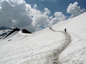
 The beauty of dimpled snow |
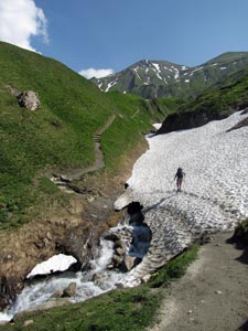 Crossing the eroding snow bridge |
 Mountain bikers descending from Col du Ferret |
|
|
|
|
|
|
|||
 |
 |
 |
 |
|
|
||
|
|
|
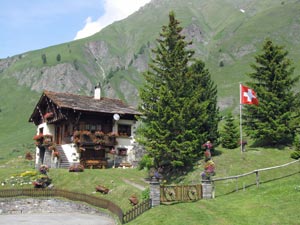
 Bucolic bliss - Swiss style |
On reaching the pretty village of Ferret, with its classic wooden, geranium-decorated Heidi-houses, a footpath and bridge led us back across the Drance du Ferret to wander along a track through forest and herb-field on its far side.
|
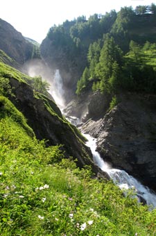
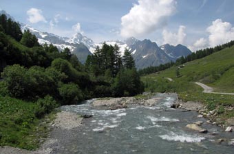
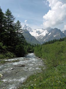
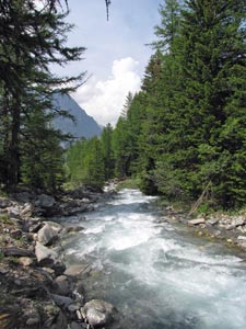 Wild river in the fir forest |
|
||