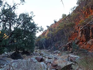
| Stage 3 - Serpentine Gorge to Glen Helen |
|
|
|||
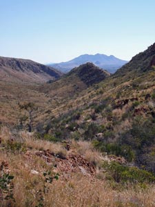
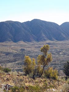
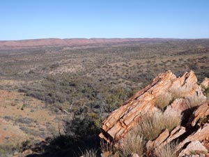
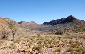
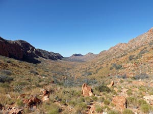
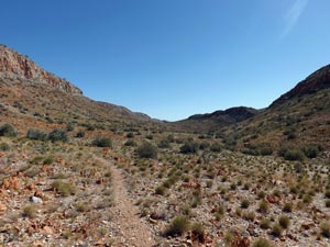
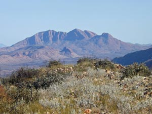
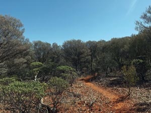
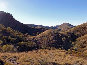
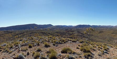
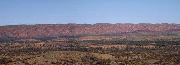
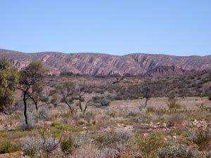
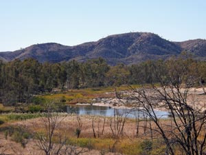
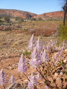
 Open country west of Serpentine Gorge |
 |
 |
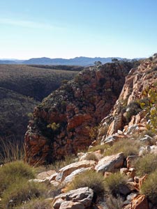
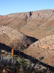
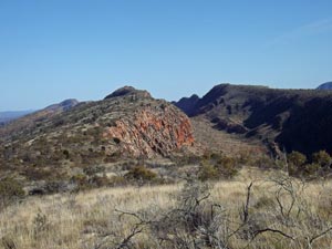
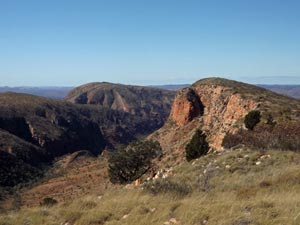
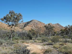
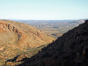
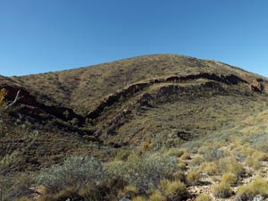
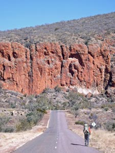
 View from the climb up the Heavitree Range |
|
||
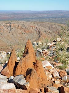
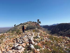
 Finally on top of the Heavitree Range |
 |
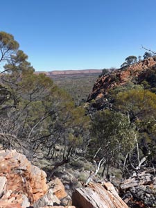
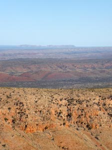
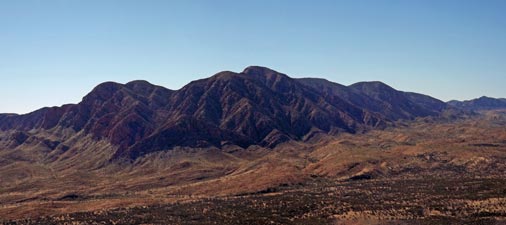
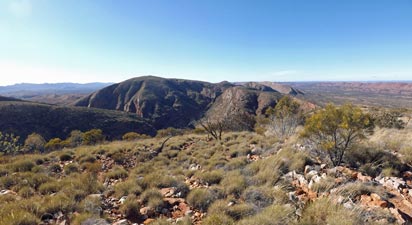
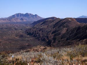
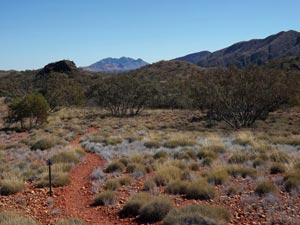
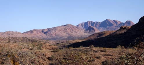
 View across to the Pacoota Range |
|
|
|
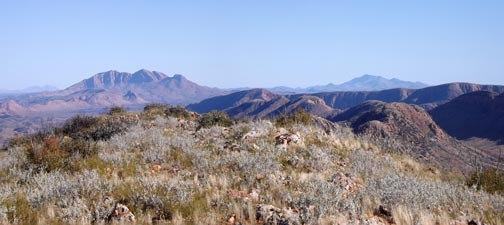
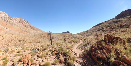
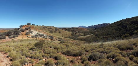
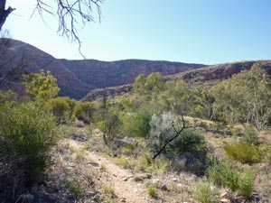
 The route ahead |
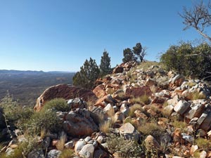
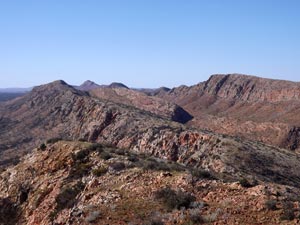
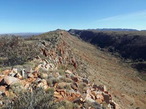 Parallel ridges of the Heavitree Range |
|
 |
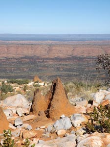
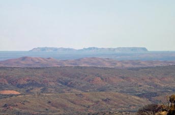 In the distance lies the 5km wide meteorite impact crater of Tnorala |
|
|
||
 Looking back along the Heavitree Ridge |
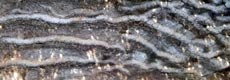
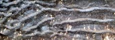
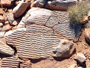 Rippled rocks - once was a sea-bed |
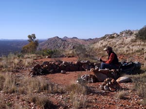
 Heading out to Counts Point |
|
||
 |
 The famous vista from Counts Point |
|
|
|
|
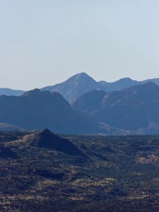
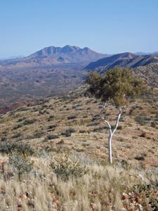
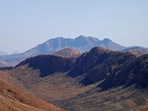 Zooming in on Mt Sonder |
 Returning from Counts Point |
|
|
|
|
|
 |
 |
||
|
||
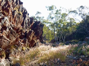
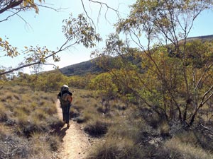 Crossing the spinifex woodlands |
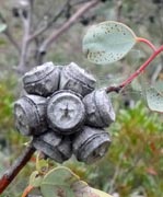
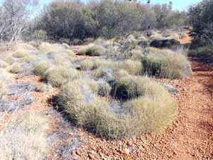 A spinifex circle |
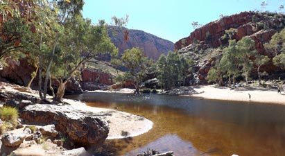
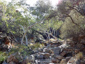
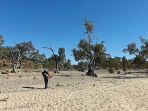
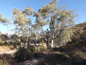 River gums in Serpentine Creek |
|
|
|
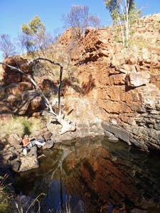
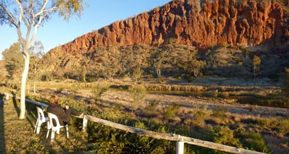
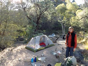 Shady campsite at Serpentine Chalet Dam |
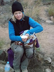
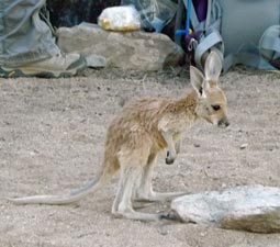 The orphan joey |
|
|
  |
|
|
|||
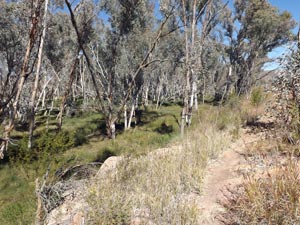
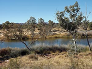
 Open country west of Serpentine Chalet Dam |
 |
 |
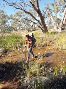
 River gums in Inarlanga Creek |
|
|||
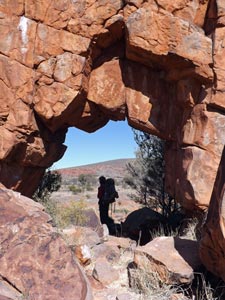
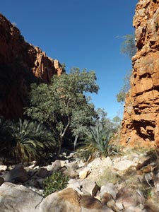 Entering Inarlanga Pass .... |
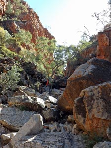 ... to climb its boulder-strewn bed .... |
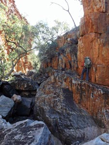 .... and traverse a few tricky faces .... |
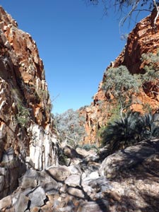 ... before leaving its red rock walls |
|
||
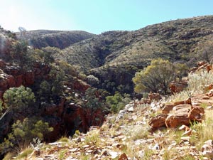
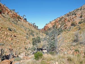 Creek valley north of Inarlanga |
 |
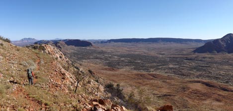
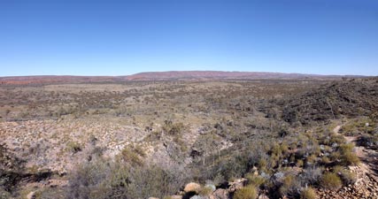
 View west down the Pioneer Valley |
|
||
 Track through the rock-strewn grasslands of Pioneer Valley |
 |
 A grove of bloodwoods at Pioneer Creek |
 View east back down Pioneer Valley |
 |
 |
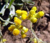
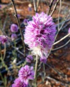
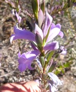
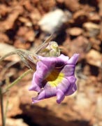
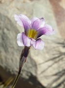
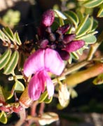
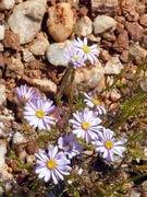
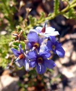
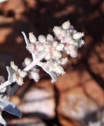
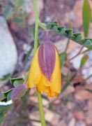
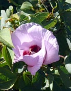
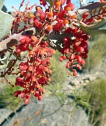
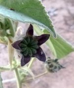
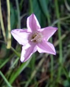
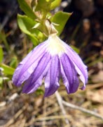
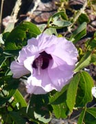
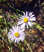
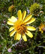
 A dash of colour in the washed-out landscape |
Our path led slowly and steadily up the northern slope of the Pioneer Valley, a cold wind at our backs, to finally crest the saddle that we had been looking at all morning. Ahead lay another flattened arid valley, which seemed to drain away to the north through a hidden gorge. |
|||
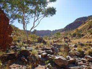
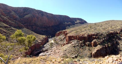
 The arid valley leading to Waterfall Gully |
 |
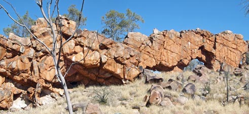
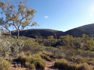
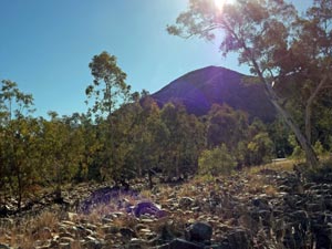
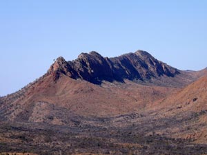 An unnamed bluff in the Heavitree Range |
 |
|
 |
|
|
|
|
|
|
  |
|
|
|
|
|
 Early morning shade in Waterfall Gorge |
 View back down the shaded slope to Waterfall Creek |
|
|
|
|
 A bite to eat on top of the range |
 View eastwards from Giles Lookout |
|
|
||
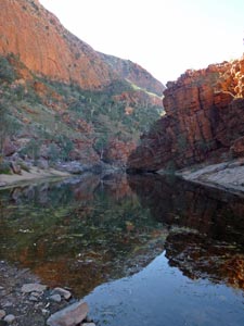
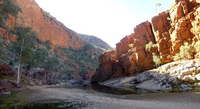
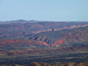 The red rock walls of Glen Helen Gorge |
 Zooming in on Mt Sonder |
|
|
|
|
 |
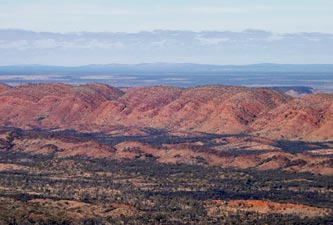
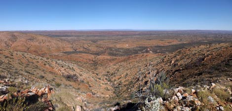 Panorama over the valleys and plains south of the Heavitree Range |
|
|
||
 Mt Sonder and the scalloped walls of Ormiston Pound |
 |
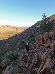
 Descent to Base of Hill |
|
|||
 Red track across the spinifex |
 |
 |
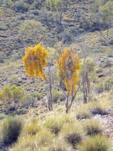
 A section of mulga woodland |
|
|||
 Hill country near Ormiston |
 |
 |
 Rock ribs near Ormiston Creek |
|
||
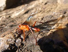
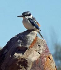
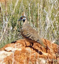
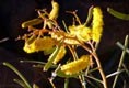
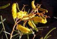
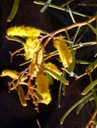
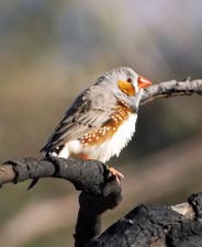
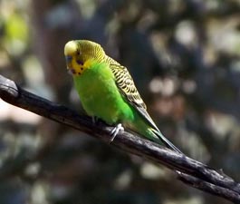 Wild budgerigar |
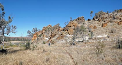
 Approaching Ormiston Gorge |
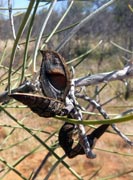
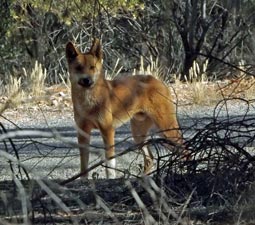 A resident dingo |
|
 |
 |
 |
 |
 |
|
||||
Bonus - A short walk in Ormiston Gorge |
The Larapinta Track does not pass through Ormiston Gorge, which is one of the more picturesques parts of the MacDonnell Ranges. During our rest day at Glen Helen, we took advantage of the fact that our car was there and drove back to Ormiston Gorge for a short explore of gorge itself. The visitor can do a longer walk around part of the enormous Ormiston Pound and back through the gorge, but we had done that 20 years ago and, after all, this was a rest day. The following photos will show why we at least had to return to the gorge. |
||
|
 |
|
 View of the gorge from Ghost Gum Lookout |
 |
|
 Like the sinking of the Titanic, the rock strata tilt down into the creek bed |
 |
|
|
|
|
|||
 The undulating landscape west of Ormiston |
 |
 |
 View back towards Ormiston Gorge |
|
|
|
 Once again - Mt Sonder |
 |
|
|
|
 Looking over the low hills east of the Finke River |
 View west over the Finke River flats |
 |
 View south from Hilltop Lookout towards the scalloped flanks of the Pacoota Range |
|
|
||
 Crossing the wide sandy bed of Ormiston Creek |
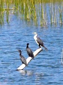
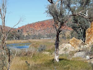
 Lush reed-beds in the Finke |
 Nello crosses the Finke River |
|
||
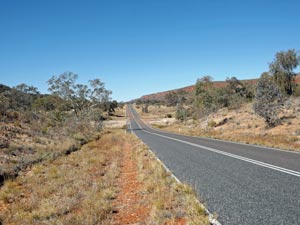
 Country west of the Finke River |
|
 The reed-covered riverine habitat |
|
|
 Rock rib runnng down towards the Finke River |
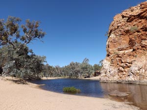
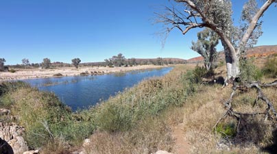 A long waterhole on the Finke River |
|
|
|
 Waterhole backed by Ormiston Peak |
 |
 |
 A tranquil stretch of the Finke |
|
|||
 Approaching Glen Helen Gorge |
|
 Approaching Glen Helen and the cliffs of Chalet Ridge |
|
||
|