| Yuraygir Coastal Walk |
Getting There |
|
|
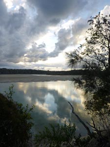
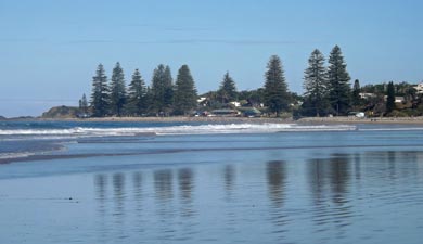
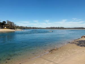
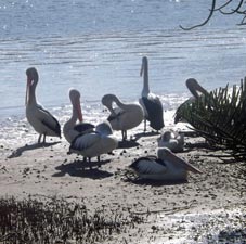
 Clarence River at Yamba |
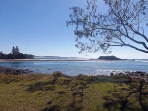
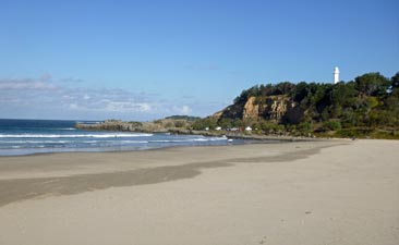 Yamba beach and lighthouse |
|
 |
Angourie to Broom Head (17.5 km - 130m ascent - 140m descent) |
|
||
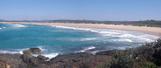
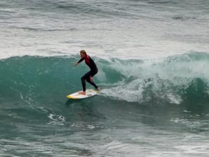
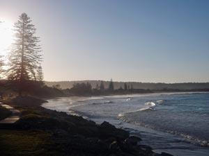
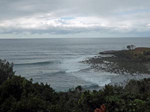 Angourie Surf Reserve |
 |
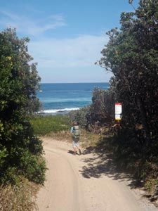
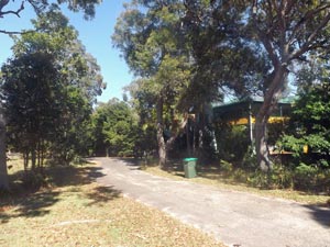
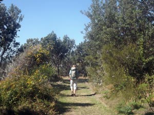
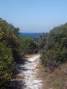
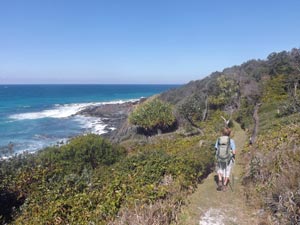
 Setting out on the Yuraygir Coastal Walk |
|
||
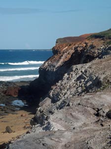
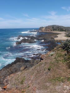
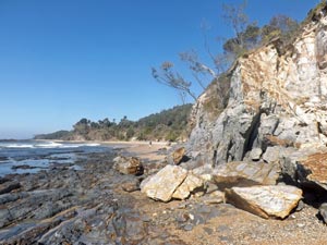
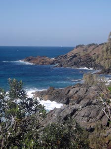
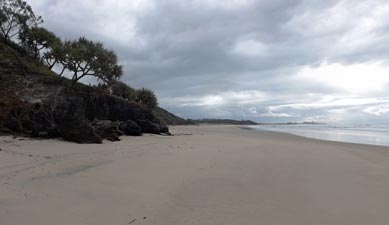
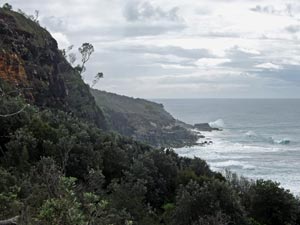
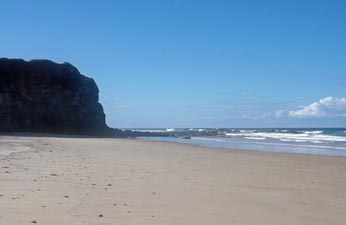
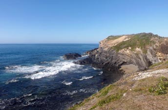
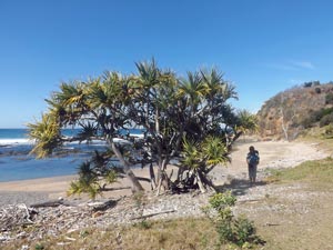
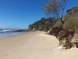
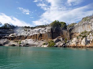
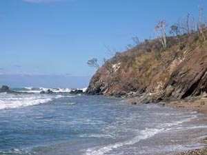
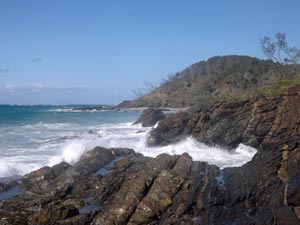
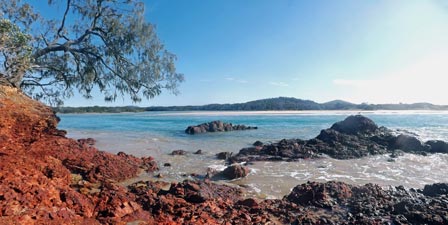
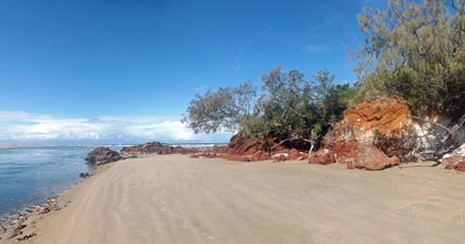
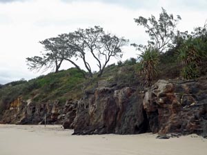 Low cliffs on Angourie Back Beach |
 |
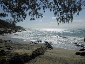
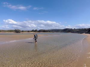
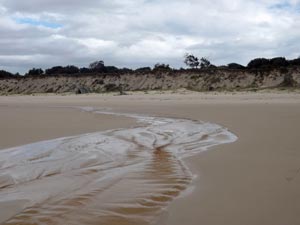 The outflow of Mara Creek |
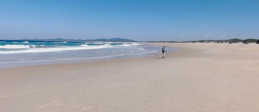
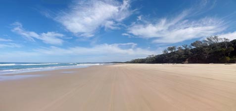
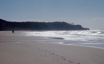
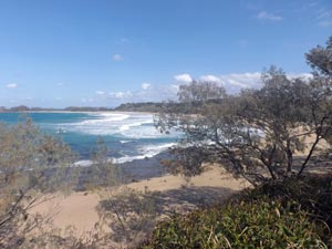
 The long sandy stretch of Angourie Back Beach |
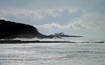
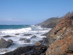
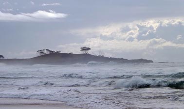 Across the big seas |
|
|
|||
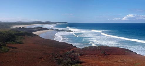
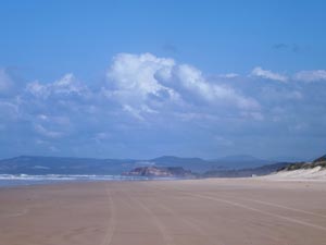
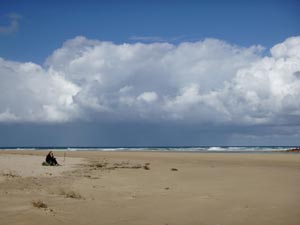
 Grey sky over Angourie Back Beach |
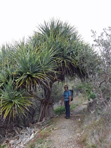
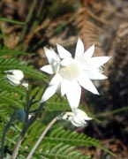
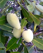
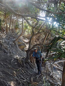
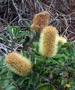
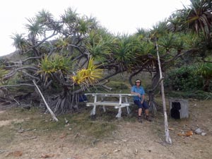
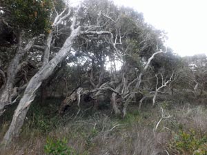
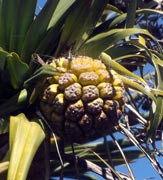
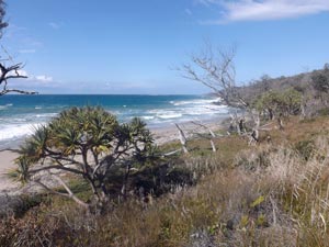
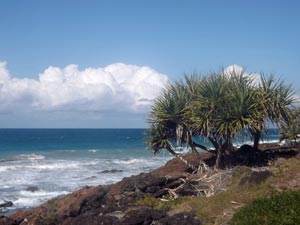
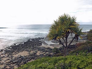 Pandanus and cliff-side ferns |
|||
|
||||
 |
 |
 |
 |
|
|
||||
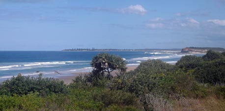
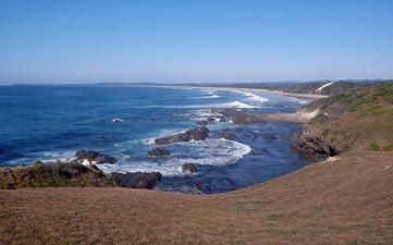
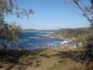
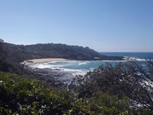
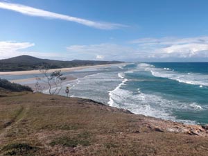
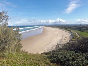
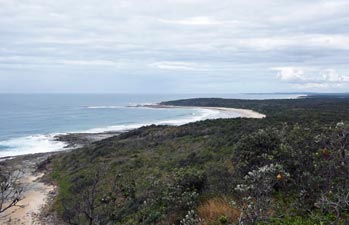 View towards Shelley Headland from Dirrangan Lookout |
 |
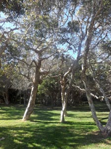
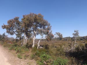
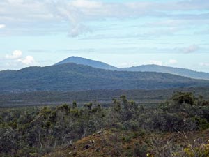 The Yuraygir hinterland |
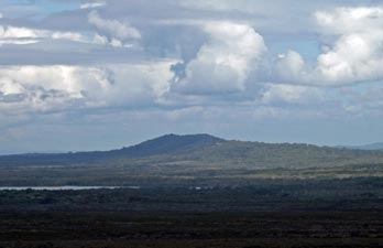 Looking south over the heath and distant Lake Arragan |
 |
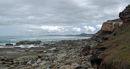
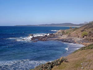
 The cliffs below Dirrangan Lookout |
 |
 |
|
 |
 |
 |
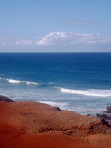
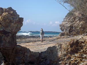
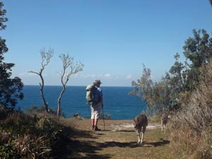
 Silvery sea below Angourie Headland |
 |
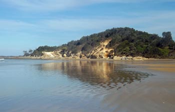
 Shelley Beach |
 |
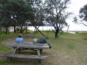 The peaceful campground at Shelley Headland |
|
|
|
 Looking south from the rocks below Shelley Headland |
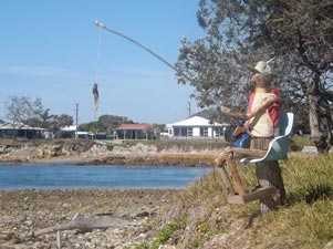
 Rest stop and first aid station |
|
|
|
|
 Looking down the length of Caves Beach |
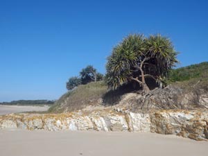
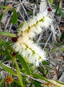
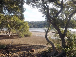
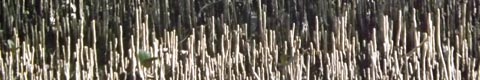
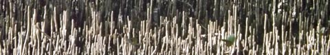
 Paperbark swamplands |
|
 |
 |
 |
 |
 |
|
|
 View over the dunes towards distant Broom Head |
 On Plumbago Beach |
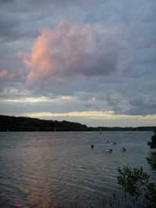
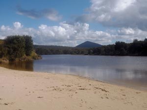 The tranquil waters of Lake Arragan |
 |
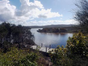 The pier at Lake Arragan |
|
||
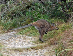
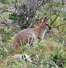
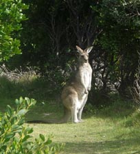
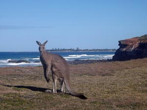
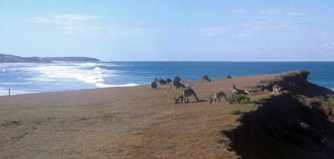 Kangaroos grazing on the grassy top of Grey Cliff |
 |
 |
|
|
|
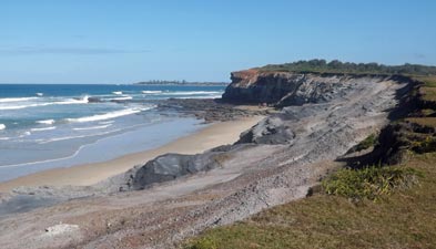 Looking along the length of Grey Cliff |
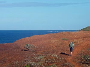 Crossing Red Cliff |
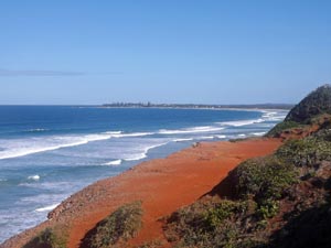 Looking toward Broom Head from Red Cliff |
|
|
|
 |
 The shady side of Red Cliff |
|
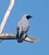
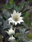
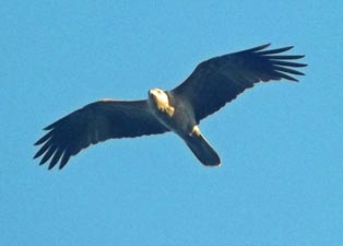
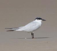
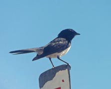
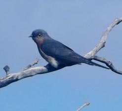
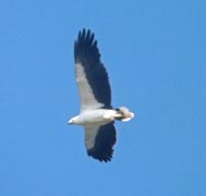
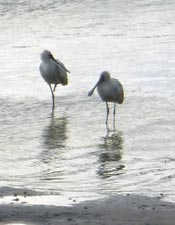
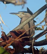
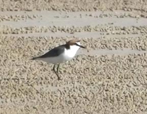 Red-capped plover (without cap) |
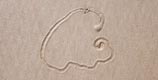
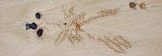
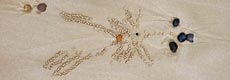
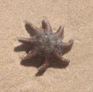
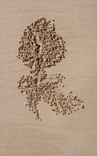 "Tulip" by sand crab |
 Approaching the Norfolk Island pines of Broom Head |
 Evening light over Broom Head |
|
 |
  |
|
|
||
 The headland at Broom Head |
 |
 View south from Broom Headland |
|
|
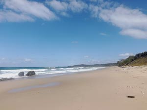
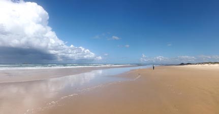
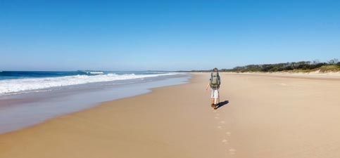 Sandon Beach - seven kilometres of wide pale sand |
 Different perspective - looking across a backlit surf to Broom Head |
|
|
||
 |
 |
 |
|
|
||
 |
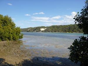
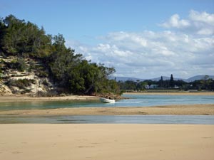
 The almost island at the mouth of Sandon River |
 |
|
||
 One of several similar artworks at Sandon |
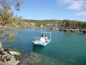
 Our dinghy comes to collect us to cross the river |
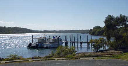
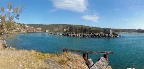
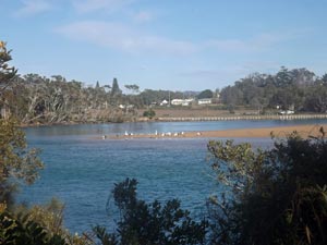
 View of the Sandon River mouth |
|
|
||
 |
 |
 Time for a break on Pebbly Beach |
|
|
||
|
|
|
 |
 Sandon Back Beach - nine kilometres long |
|
|
||
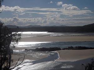
 Reflections of Rocky Point |
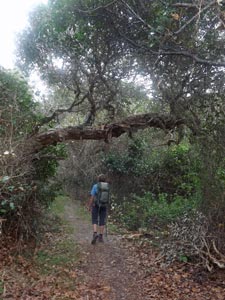
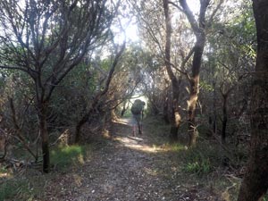 Track through the heath near Illaroo |
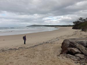
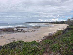
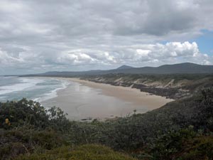
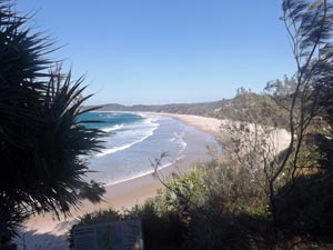
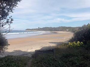 Minnie Waters Main Beach |
 |
|
 |
  |
|
|
||
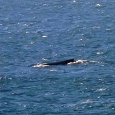 Humpback whale heading north |
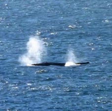 Thar she blows! |
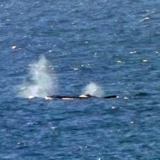 Mother and calf - synchronised blow |
|
|
|
 The bushland of Minnie Waters |
 Looking south from Melaleuca Park |
|
|
||
 On the headland at Minnie Waters |
 |
 About to step down on to the Back Beach |
|
||
 Back on the sandy highway |
 |
 Low cliffs along the Back Beach |
|
||
|
|
|
|
|
|
|
 |
 |
||
|
|||
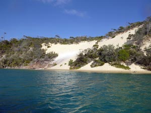
 A secluded cove near Wilsons Point |
 "Le grande bleu" |
 Heading south in the coastal heath |
|
||
|
|
|
 Wooli River |
 |
 The pier at Wooli River |
|
|
|
 Tide's out in the mangroves |
 |
|
|
  |
|
|
||
 The steep-walled dunes ..... |
 ... and sandstone cliffs of the Wooli River |
 Farewell to the oyster punt - our lift across the river |
|
|
 The tranquil waters of the Wooli River mouth .... |
 ....a contrast to the big surf outside the bar |
|
||
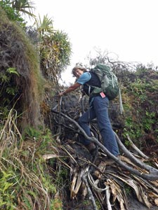
 This is where the route around the rocks stops ... |
 .... making a detour over the scrubby cliff top the only option |
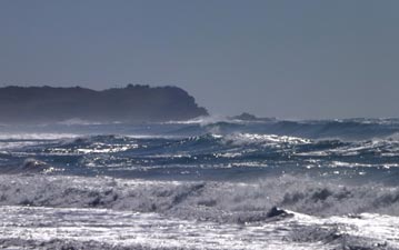
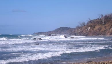
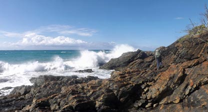
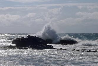 Big sea at Wooli |
|
|
|
 A bit of careful rock scrambling required |
 The route ahead along the rocky coast |
|
 |
 A rocky path alongside the big surf |
 |
|
||
 Time to head up above the rocks |
 A peaceful cove at the end of the rock platform |
 Freshwater Beach |
|
|
|
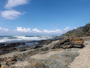 Rock platform at the southern end of Freshwater Beach |
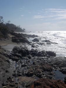
 A typical Yuraygir coastscape |
|
|
||
 View of Pebbly Beach (looks fairly sandy to me) |
 Crossing Station Creek |
 Looking down the length of Station Creek Beach |
|
||
 Rain out to sea |
 |
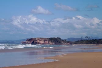 Approaching Red Rock |
|
||
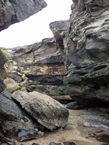
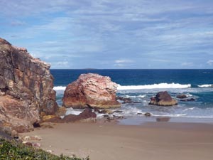
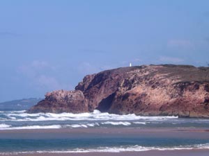 Why Red Rock is so named |
 Waiting for the ferryman |
 The "tinnie" arrives to take us across the Corindi River |
|
|
|
 The Corindi River from our safari tent |
 Sunlight on the Corindi sand flats |
|
|
|
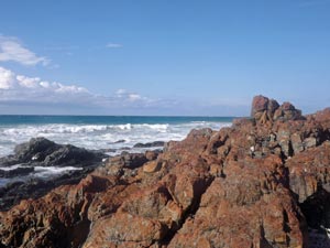
 Red rocks at Red Rock - the Corindi River mouth |
 The colours of Red Rock |
 View back north from whence we came |
 View south to where we were headed ... beach, beach, beach |
 Top end of Corindi Beach |
|
||
|