| Stage 1 - Royal National Park Coast Track |
Bundeena to Garie Beach |
|
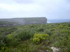
  Heathland track to the coastal cliffs |
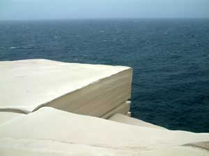
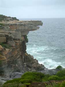
 Cliff face near the Water run |
|
|
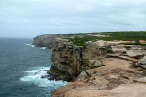
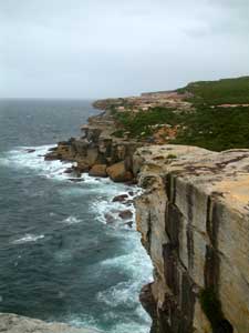
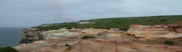 The ochre coloured sandstone |
From the Water-Run, the path continued through a section of exposed sandstone, ranging from pure white to all the colours of the ochre rainbow. I am an unashamed sandstonophile and love its texture colour and eroded forms. The cliffs in this section were superb against a backdrop of the Pacific Ocean, whipped into a sea of whitecaps by the Southerly Buster. Eventually we dropped down to Big and Little Marley Beaches, where the wild seas drove foaming breakers onto the shore - not a place for swimming today!! |
|
|
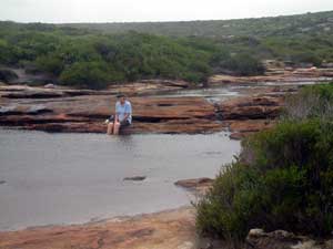
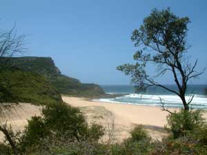
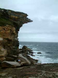
More magnificent cliffs appeared south of Marley before the path deviated inland and descended through taller banksia heath and eucalypts to arrive at the quiet and protected waters of Wattamolla Inlet - a chance to rest, eat and take some respite from the southerly winds. We continued on up and over to the inlet at Curracurrang (where we had camped 4 years earlier), before climbing up to the heathlands of Curra Moors. Here, at Curracurrong, a gentle brook draining from the moors has created a series of shallow pools that invite you to stop and soak tired feet. We accepted. |
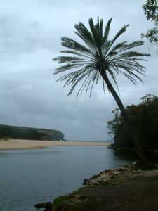
Wattamolla Inlet |
|
|
|
|
|
|
|
|
|
|
||
|
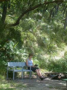 Time for a little reading |
|
Garie Beach to Stanwell Park |
|
|
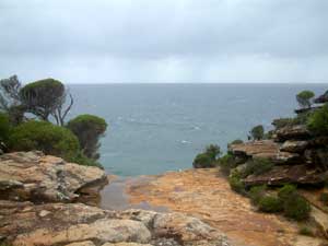
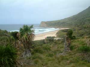
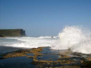 Rock platform near Garie Beach |
|
|
|
|
 |
||
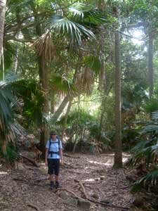 Track beneath the palms |
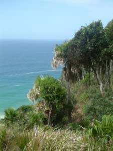 Palm Jungle where rainforest meets the sea |
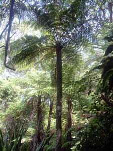 Bneath the giant tree ferns |
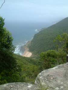 Looking down on to Hell's Hole |
|
|
|
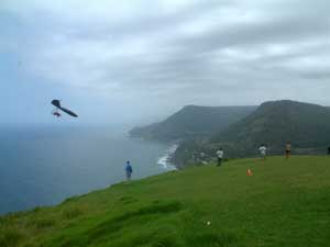 Hang-glider launching pad at Bald Hill |
 Soaring the grand blue |
|
|
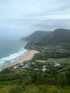 Stanwell Park |
|
  |