| Stage 10 - Mimosa Rocks National Park (Bermagui to Tathra) |
|
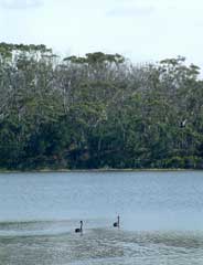
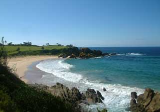
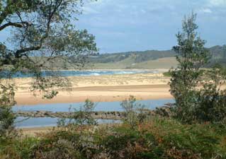
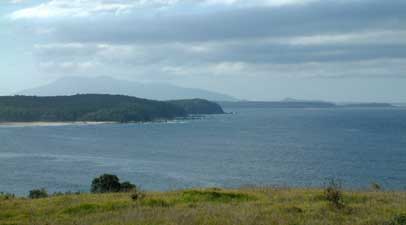
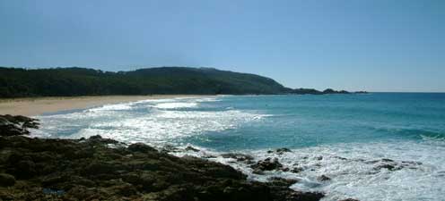
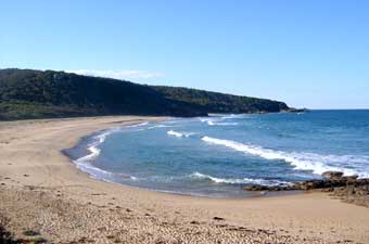
Bermagui to Bunga Beach |
|
|
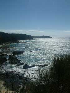
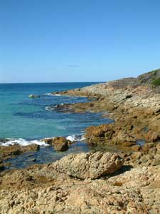
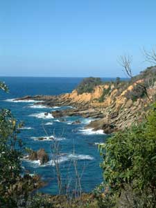
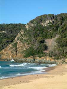
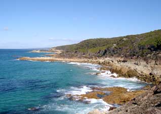
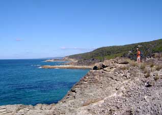
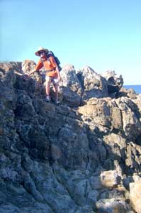
 The route south - coastal cliffs south of Bermagui |
|
|
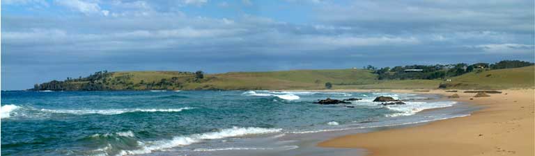
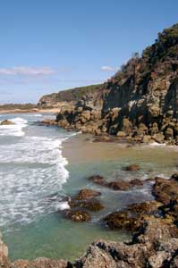
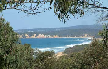
 Looking south from Jerimbut Point |
 |
|
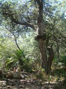
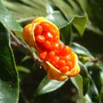
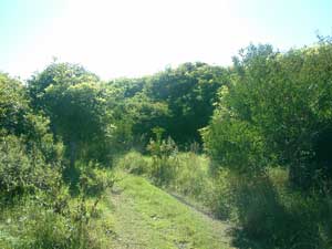
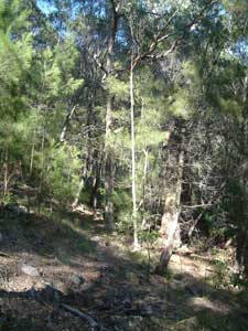
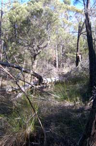
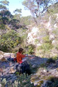
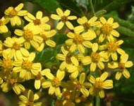
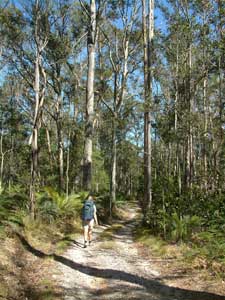
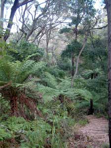
 Banksia, acacia and pittosporum heath |
|
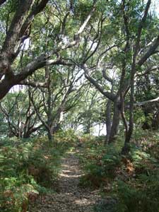
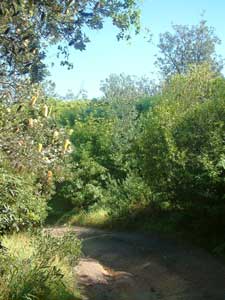
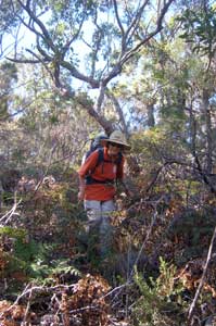
 Track through the sweet pittosporum |
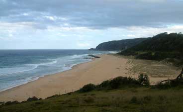
 Jagger's Beach |
|
|
|
|
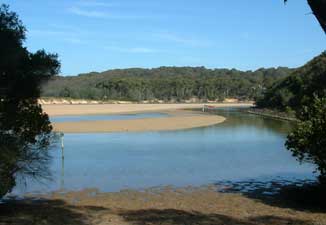
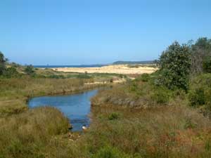 Entry to Baragoot Lagoon |
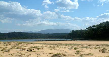
 Cuttagee Lake |
|
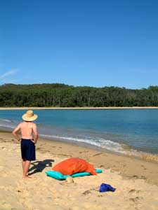
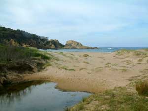
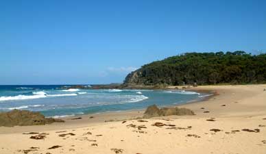 Armond's Beach |
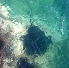
A sign advised that this was a nude bathing beach; we don't find this offensive, but nude beachworm collecting is something else. We ate quickly and left as our collector bent over to extract yet another beachworm from the sand! |
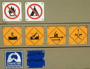 Pick the odd sign out |
|
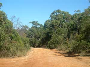
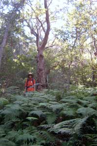
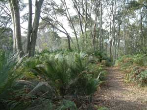
 Ironbark forest |
 View of the lagoon from Murrah Head |
 Crossing Murrah Lagoon |
 Goelan Head |
|
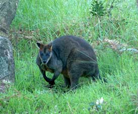
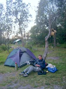
 Nello and Dog |
|
 Looking inland across Murrah Lagoon |
 On Murrah Beach |
|
 One last view of Gulaga from Goelan Head |
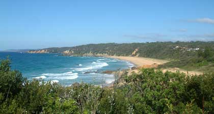
 Looking down Bunga Beach |
|
|
|
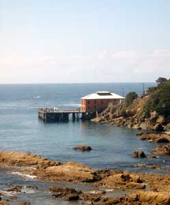
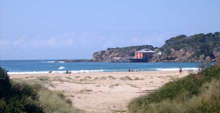
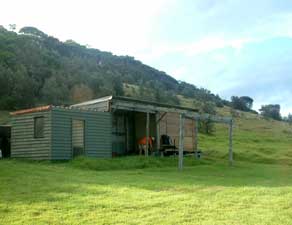 The Fisherman's hut at Bunga Beach |
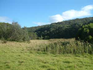 Hidden Valley |
|
|
 |
Bunga Beach to Picnic Point
|
 Bunga Head - end of the road for beach walking! |
 "Track" up to the saddle of Bunga Head |
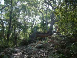
 Rainforest gully on the south side of the head |
|
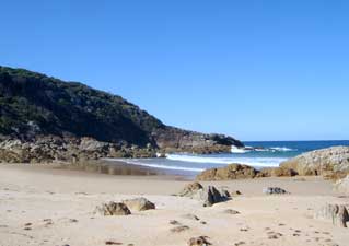
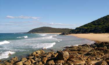
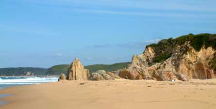
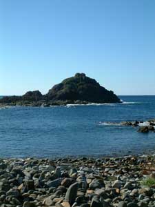 The stony beach of Mimosa Rocks |
|
 At Aragunnu - a memento for Ursula and Lakhdar |
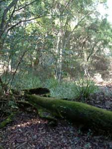
 Aragunnu vegetation |
|
There is no coastal route from Aragunnu to Picnic Point, so we knew that this section would be difficult. A chance encounter with the ranger gave us good advice about what to expect and a clearer indication that it would be a hard day. It was harder! After an easy stroll down Aragunnu Beach, we started to pick our way around the rocky headlands. The rocks here are a jumble of sharp edged sandstone, not the place to be carrying heavy packs, and our progress was slow. |
|
|
 Easy stroll down Aragunnu Beach ...... |
 ........ but getting harder around the rocks |
|
 Looking back over Aragunnu and Bunga Head |
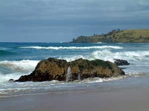
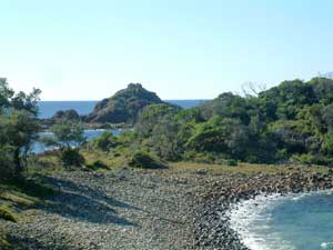
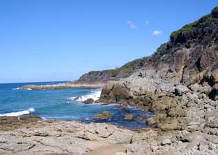
 The rocky coastline south of Aragunnu |
|
Eventually rounding the first headland we came to a sheer edge with only sea below. Our only choice was to climb up on to the cliff slope and crash through some dense paperbark scrub until we could descend once more on to the rocks and cross the next small headland. |
 .... where progress through the scrub was very slow |
|
 A difficult passage |
 This forced us to climb up to the scrub on top of the cliffs ....... |
|
Here again we were blocked by another sheer wall of rock and, knowing from the ranger that a sea cave blocked a later section, we decided to head deeper inland and not return to the shore until well clear of such obstacles. Our legs well-scratched already from the first push through dense heath, we zipped on the long legs of our shorts and headed upward, picking our way across an uneven surface where rocks were hidden by deep litter, and the dead branches of paperbarks and casuarinas and thickets of sweet pittosporum or low banksias tried to deny all forward progress. It took three hours to travel two kilometres through this terrain, over two ridges and two creek beds, before the third creek led us back out onto a small beach. |
 Blocked yet again |
 Lunch in "lost valley"........ |
 ..... and back to the bush-bashing |
 |
|
|
 Final passage through the bracken ..... |
Once back on the beach it was a quick stroll along the sand with a couple of easy rock scrambles to reach Picnic Point camping ground - we had taken 6 hours to walk 8 km! Now we had to decide whether to push on across Bithry Inlet to our original destination of Middle Beach or set up camp here and have a swim and revive. The ocean water was cold but invigorating and we felt better already. Our appreciation in hindsight of the rugged beauty of the rocks and bush through which we had just passed was growing. |
 One last rock scramble |
 Clear route to Picnic Point |
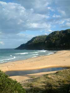
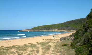
 Picnic Beach |
 |
|
Picnic Point to Tathra |
|
|
 The cliffs at Picnic Point forced us inland again |
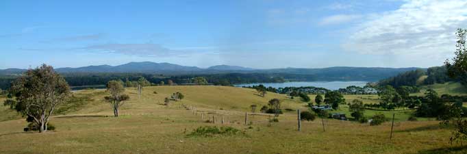 Peaceful rural scene at Wapengo Lake |
 A local resident watches the strange goings on at the inlet |
It was just after high tide and already there was a strong tidal flow heading out to sea through the line of breakers at the entrance. Setting up our packs and getting the air mattress ready as described in earlier stages, we decided that two heavy packs on a single air mattress could be a bit unbalanced and one trip for each pack would be preferable. The art then became to pick the right starting point, so that, as we swam the packs across, the tidal flow would sweep us around onto the sand spit. The first passage worked perfectly, a few stingrays scooting away on the sand beneath as we paddled our first pack across in a large sweeping curve. However, on our return, the tide pulled us into an arc heading towards the line of breakers at the entrance, cause for a minor adrenalin rush. Fortunately, we found the bottom and waded out just before this point. As we walked back to our second pack, 200 m back along the northern shore, we mused on what people would have made of it if we had been swept out to sea, leaving only one pack on one side of the inlet and another pack on the opposite side - another mystery like that of Mystery Bay, perhaps? Finally, to our great relief, we made our third crossing without a hitch, successfully transporting all our gear to the southern shore of the inlet. |
 Science at work - now the curve of the trajectory depends on the speed of our swimming, the perpendicular pull of the tide, modified by the buoyancy of the air mattress and the weight of the load ..... ah bugger it, let's just set out from here! |
|
We dried ourselves off to a chorus of bellbirds in the tall spotted gum forest on the southern shore, before heading off again, following a dirt road up over the heavily timbered hills and down to the campsite at Middle Beach. From here, we followed a very pleasant track through a forest of old coastal banksias and along the peaceful shores of Middle Lagoon. The banksias in this part of the coast were by now in full bloom and their pale lemon flowers provided a feast of nectar for wattlebirds, honeyeaters and lorikeets. |
|
|
 Walking through a forest full of bellbirds
|
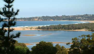
 View over Middle Beach  Middle Lagoon |
|
|
|
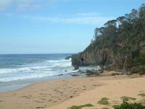
 Sandstone formations on Gillard's Beach |
 Heath covered promontory with Baronta Head in the distance |
 The pastel shades of Baronta Head |
 Walking through the Gap to Nelson Lagoon |
 Nelson Lagoon |
To the left of the headland lay the narrow gap that marked our passage through to the northern shore of Nelson Lagoon. Happily, it was now low tide. Surveying the lagoon for a crossing point, we chanced across Phil and Nathalie returning from an overnight camping trip at Cowdroy's Beach. They showed us the best spot to cross, which involved a long wade across a shallow section, a walk across a soft sand bar and a short swim with our packs on the air mattress across the main channel; much easier than Bithry.
|
 Crossing the shallow part of the lagoon |
Like Bithry Inlet, the tall spotted gum forest on the southern shore of Nelson Lagoon was full of bellbirds, whose singing is one of the more cheerful sounds of the bush. We climbed up away from the lagoon on the dirt access road before turning left and making the sharp tree-fern lined 172 step descent to secluded Moon Bay, where a couple of naturists were improving their all over sun tans. |
 Some of the 172 steps down to Moon Bay |
|
 More bellbird habitat |
 Moon Bay |
|
The climb out of the southern end of Moon Bay was not as steep, following a long gully and gradually climbing up to a timbered spur that ran behind Mogareeka Inlet. Following our 2001 edition of the topographic map and our GPS explicitly, we followed a marked road down to Mogareeka town, right through the backyard gate of a house and out the front drive!! (note: mapping information is generally very good, but don't always rely on it). |
|
|
|
|
 Sand python on Tathra Beach 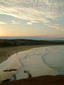 Evening falls over Tathra Beach |
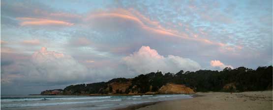 Another superb south coast sunset over Tathra Head |