
| Walk 18 - West Matukituki Valley |
|
|
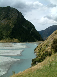
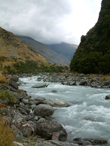 Matukituki River |
|
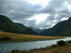 Dark clouds at Raspberry Creek |
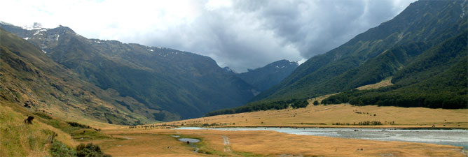
 Looking back across the flats to Homestead Spur |
|
|
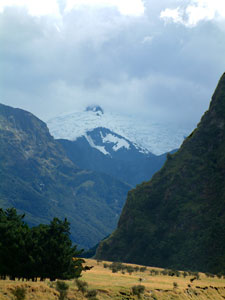
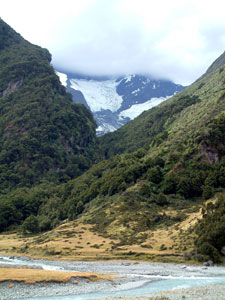 Rob Roy Glacier |
|
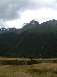
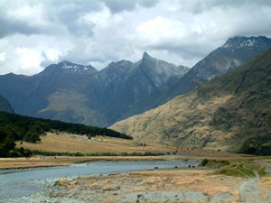 View back toward the aptly named Fog Peak and Shark's Tooth Peak (2000m) |
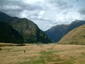
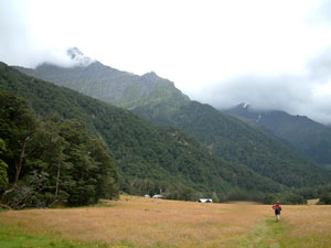
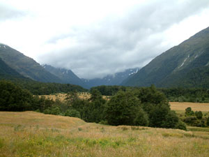
 Matukituki = river + grassy flats + steep-sided mountains |
|
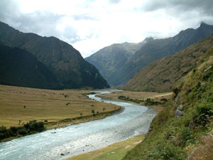
 Looking up the Matukituki Valley |
Beyond Rob Roy, the valley widened out and we strolled across a gently undulating pasture landscape as the grazing cattle nonchalantly watched our passing. At times patches of sunshine broke out, but higher up the valley the grey mist of drizzle dominated. Occasionally the drizzle pushed down the valley, but it was never heavy enough to force us into raingear and, with a warm north-westerly wind blowing down the valley, we had a pleasant 9km tramp to Aspiring Hut, in its grassy clearing below the Cascade Saddle and snow-capped 2191m Plunkett Dome. |
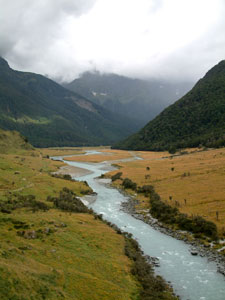
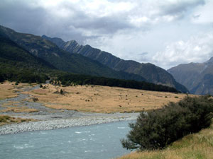
 Valley of the Upper Matukituki |
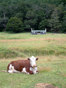 Contented local and the old Cascade Hut |
From the hut you can see the form of 3033m Mt Aspiring towering over the head of the valley; at least you could if the cloud were not there. We will have to wait till we come back and climb the Cascade Saddle from the other side in a few weeks time for a chance to see this iconic peak, the third highest mountain in New Zealand. |
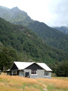 Aspiring Hut |
 Heading toward Aspiring Hut beneath the Cascade Saddle |
 Rob Roy Peak (2644m) appearing in a gap in the cloud |
As we ate lunch, the cloud lifted a bit, revealing the Reid and Johnson glaciers high on the sides of Plunket Dome. Beyond lay the orange speck of Liverpool Hut perched on its steep ridge below Mt Barff (2252m), opposite the steep lower slopes of Mt French (2356m) and behind it, invisible behind its veil of clouds , Mt Aspiring (3033m). Across the valley, the west faces of Glengyle Peak and Rob Roy Peak (2644m) appeared briefly through as gap in the cloud. The valley floor at the hut was only at 460m and, even with the cloud, you could still feel the immensity of this landscape. |
 The cloud lifting to reveal the glaciers at the head of the valley |
 Matukituki landscape |
 View of where Mt Aspiring (3033m) would be if there were no clouds |
 Uplifting of the Homestead Spur rock face |
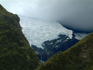 Rob Roy Glacier |
|
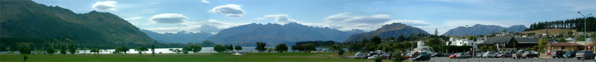 Wanaka skyline |

