| Walk 19 - Welcome Flat |
|
To the springs and back
|
|
|
 ... ... |
|
... |
 Log bridge on a side stream |
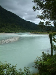
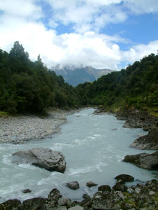
The track widened and headed straight across the flat, a series of narrow cuttings taking it gently down steepish banks to cross several sidestreams. On either side, dark still pools of water in the marshy sand reflected the shapes of the ferns and forest canopy. A viewpoint off to the right revealed the confluence of the Copland and Karangarua Rivers, before the track continued its inland passage to emerge at the left bank of the Copland River 1.5 km upstream from the confluence.
|
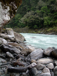
 Copland River |
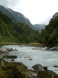
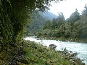
 Narrow gorge area of the Copland |
|
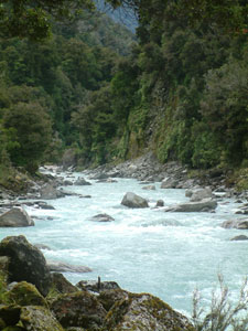
 Looking downstream on the Copland |
|
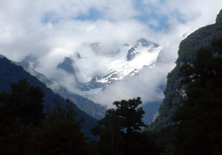 A brief glimpse of the Sierra glaciers |
 Conglomerate banks of the Copland |
|
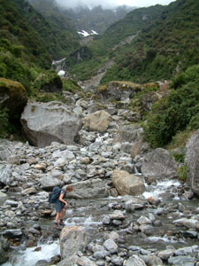
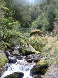 One of many rocky streams to ford |
Regaining my dignity, we climbed back up onto the higher bank and soon arrived at a grassy clearing near Architect Hut, a good spot for lunch and to dry out. Pushing on, we forded several more largish creeks flowing into the Copland (these all have flood-bridges higher up in case the water levels rise suddenly) before reaching the long steel span of the swingbridge over Architect Creek. Crossing it, we started a 300 climb over several kilometres of a rocky track toward the next level of the valley, crossing a wide area of unstable slip and several more side-streams that required a bit of care to ford (especially with my record for the day). |
 Striped water-tumbled schist boulders |
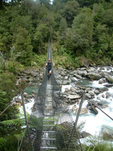 Swingbridge over Architect Creek |
 The big slip area |
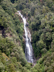 Waterfall in the Punchbowl |
 Crossing Shiels Creek avalanche shute |
Eventually, we crossed the wide stoney bed of Shiels Creek, an avalanche shute running steeply down from 2040m Shiels Peak behind it, to reach the high point of the track. From here, we descended gently down through a ribbonwood grove, the track covered in places with the delicate white blossoms of this tree, to reach a scrubby flat and, with the rain just starting to fall, the sight of the very Welcome Flat Hut. |
 Welcome Flat Hut |
|
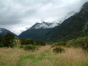 Welcome Flat |
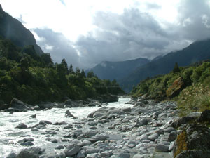 Copland River at Welcome Flat |
|
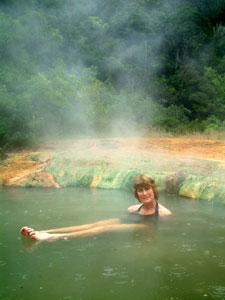
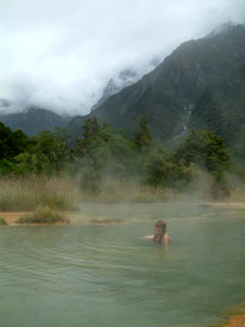
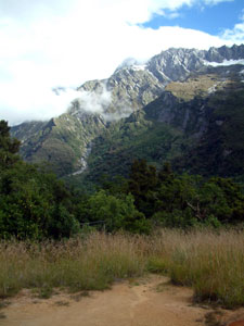 Sierra Range from the pools |
It is very pleasant lying in a hot pool with the raindrops splashing on the water surface. With the water temperature ranging from scalding to lukewarm in the different pools, there is something for everyone here (for a pleasant hot and more natural experience, I recommend Pool No. 2). |
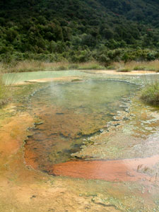 Welcome Flat hot springs |
 Hot water run-off channel |
|
|||
 Check out the top pool but do not enter - its a source pool and hot enough to make a cuppa! |
 Simmer well in Pool 2 - still bubbling |
 When well done, move to lower heat for several minutes in the soft silt of Pool 3, a run-off pool |
 Finish with a long cooling soak in lukewarm milk green Pool 4 - then repeat process |
 Forest near the pools |
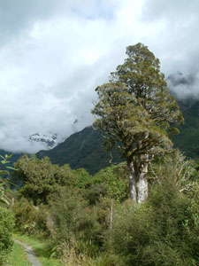 Old man podocarp |
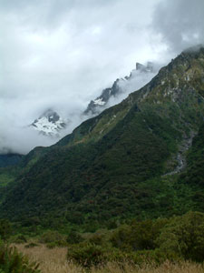 Cloud lifting to reveal the glaciers |
DOC have put in a brand new 30 bed hut, comfortable but full and noisy, especially with some groups deciding to soak until 3am and then return to the bunkroom at full volume. Welcome Flat was losing its appeal! |
|
  |