| France |
|
|
|
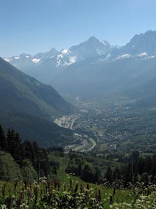
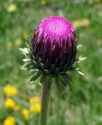
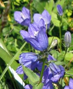
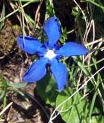
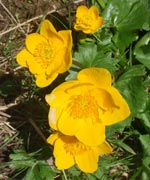
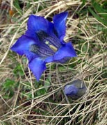
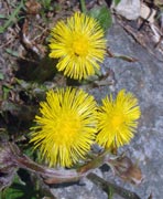
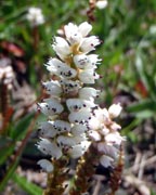
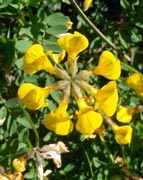
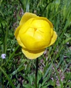
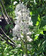
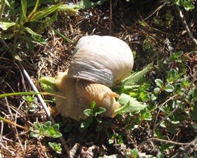
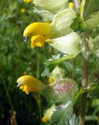
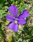
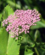
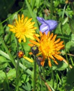
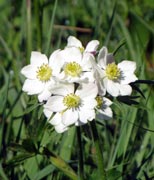
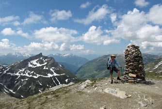
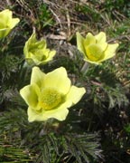
One more push took us into flower-speckled alpine pastures, where we dropped onto the Col de Voza - time for a coffee break at a small bar beneath the clear mountain sky. From what we had seen so far, it was clear that this trip was going to be a wildflower wonderland. |
|
 |
 |
 |
 |
 |
 |
|
||
|
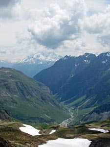
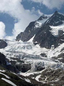
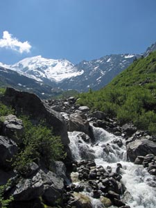
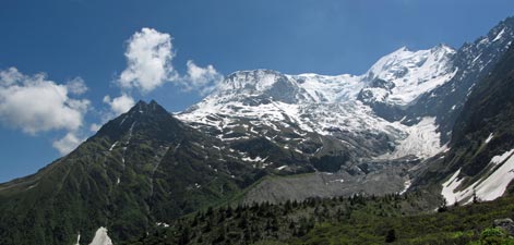
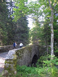
At the head of the valley, we descended the rubble of old glacial morain at eye-level with the face of the Bionassay Glacier, its ice blackened with embedded gravel. The descent continued into the narrow upper valley to cross the glacier-fed torrent on a small suspension bridge. |
|
 Looking down the Bionassay Valley |
 Dark ice face of the Bionassay Glacier |
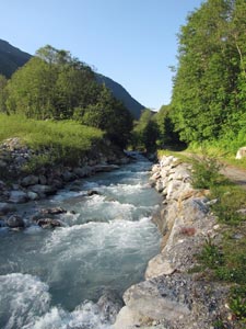
 The Bionassay Torrent |
 Crossing the suspension bridge |
|
|
|
|
 View back over Mont Blanc and the Glacier du Bionassay |
|
 |
 |
 |
 |
 |
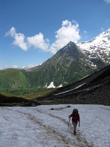
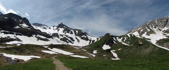
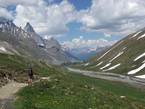
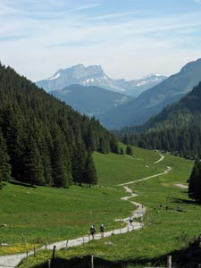
Higher up, we crossed our first snow drifts to reach a region of alpine pastures and the top of the col. The views from here were splendid under the warm alpine sun, back to the north over the path we had just travelled and southward to a sweeping panorama of the Domes de Miage and the deep valley below. |
|
|
 Route up to the Col du Tricot |
 View over the Miage Valley from the Col du Tricot |
|
|
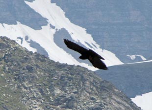
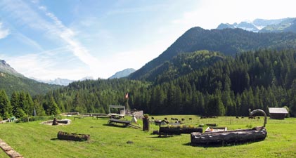
It was the ideal spot for lunch, with the jangling bells of sheep grazing the alpine pastures and the chirrupping company of a flock of choughs, checking the col out for food scraps left by dining walkers. It was a beautiful spot to spend some time, but the Chalets de Miage lay way down the valley and we knew that we had to move on. The way down to them was a very steep, rocky, knee-jarring, and narrow track that zig-zagged through the flower-filled pastures. By the time that we reached the bottom, 560m below, we considered that we well-deserved a rest and cold drink at the chalets, now looking up to the snow-capped domes, glaciers and waterfalls spilling into torrents that flowed down the valley from the massif. |
|
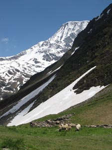 Sheep grazing on the Col du Tricot |
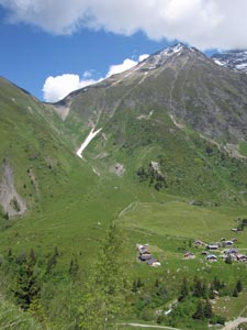 Descent from the Col to the Chalets de Miage |
 Stone bridge beneath the 3670m Domes de Miage |
 A curious water spout |
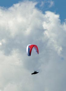 Parapentiste soaring high |
Leaving the chalets, we crossed the three braids of the Torrent du Miage to climb steeply up through woodland to Mont Truc. The climb was not particularly long, but after the three hard climbs before it and the break at the bottom, our legs felt ready to rebel. We cut them a bit of slack, resting at the top to watch the parapentes catching thermals and soaring by.
|
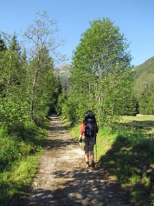
 Fir forest on the slopes of Val Montjoie |
|
||
|
 Savoyard church at Les Contamines |
|
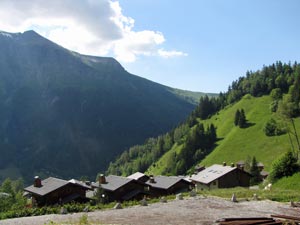 The chalets of Les Contamines |
 View up the Val Montjoie |
|
|
|
|
Leaving Les Contamines, we crossed the rushing glacier-green waters of the Torrent to Bon Nant to follow it upstream in the cool of the morning shade. Passing through a winter cross-country skiing area, we reached the church of Notre Dame de la Gorge, a classic example of baroque Savoyard architecture.
|
|
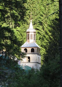 Steeple of Notre Dame de la Gorge |
 |
 |
 |
 Interior of Notre Dame de la Gorge |
|
||||
 The road up La Gorge |
 Ancient Roman bridge |
 The Torrent du Bon Nant |
 Chasm beneath the Roman bridge |
|
|||
 |
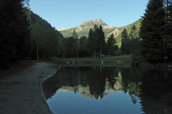
 Grassy meadow at the Refuge du Nant-Borrant |
 |
|
 |
|
 |
|
|
||||
 Looking back down the Bon Nant Valley |
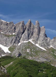 Rock spires of La Tête de Cicle |
 Rushing stream on the Plan de Jovets |
|
|
|
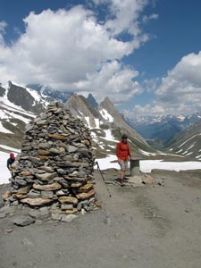
 At the cairn marking the Col de la Croix du Bonhomme (2483m) |
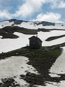
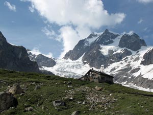
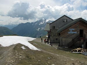 Refuge de la Croix du Bonhomme |
|
|
A little way below us lay the welcome sight of the refuge bearing the same name, on its lofty perch high above the Valley of Les Chapieux. It was a great place to while away the rest of the afternoon, surrounded by the incredible vistas of snow-dappled peaks in every direction, as bands of cloud and sunlight rolled across the sky. It looked like the weather would hold, which was great, as tomorrow we planned our second "variante" to the TMB, across the even higher Col des Fours. |
|
|
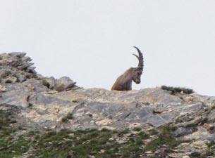
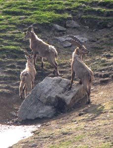
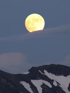
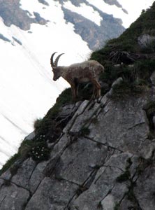
Still, that was for the next day - for the moment we just enjoyed the refuge hospitality and filling dinner, while outside the ibex stood silhouetted on the ridges as the full moon rose over the silvery landscape of The Alps. |
|
|
||
|
|
|
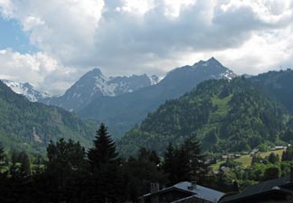
 Peak in the Beaufortin Alps |
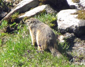
 Ibex out for a morning graze |
|
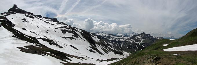
It was not a long climb, passing beneath a crackling high voltage line before reaching a broad snow-covered slope on the western side of the Tête Sud des Fours. The chill breeze kept us cool on the climb and the snow beneath our feet was still crisp in the shadows of this large rocky outcrop, with just enough softness for a good grip. The day was starting out well. |
 Ascent of the Col des Fours |
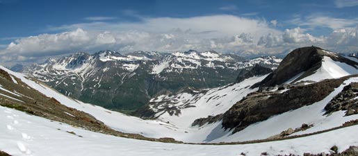 The route down - panorama from the Col des Fours towards la Montagne de la Seigne |
|
|
|
|
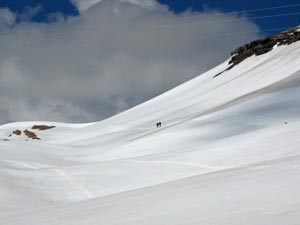
 The Crête des Fours (can you spot the walkers on the snow?) |
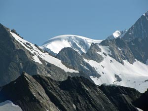 A second glimpse of Mont Blanc behind the ridges of the massif |
|
|
|
|
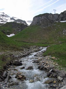
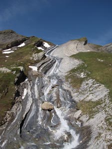 Stream rushing down a long rock shute |
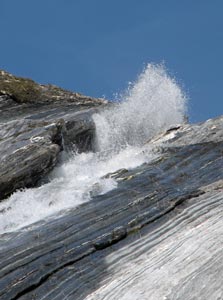 Fountain of rushing meltwater |
|
|
||
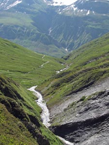 Stream rushing down to the valley |
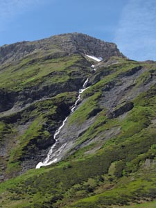 Waterfall tumbling from the heights |
|
|
|
|
|
|
|
|
|
|
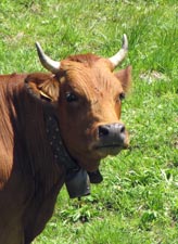 One of the producers of Beaufort cheese |
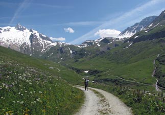 Heading towards the distant Col de la Seigne |
|
|
|
Cutting the last curve, we reached the hamlet of La Ville des Glaciers, at 1780m our low point for the day and the spot where our "variante" rejoined the TMB proper. |
|
|
|
||
 The Torrent des Glaciers near Refuge des Mottets |
 View across the winding climb to the Val des Glaciers |
 Bienvenuto en Italia! |
|
||
 View into Italy - the Vallon de Lee Blanche |
 The wild mountains beyond |
|
|
|
|
 |
 |
||
|
|
|
|
|