| Switzerland |
|
|
|
||
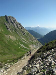
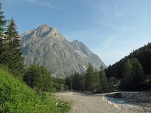 Heading downstream towards the peak of Les Six Niers |
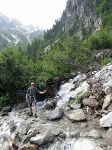
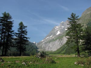 Crossing the river flats |
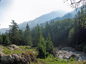
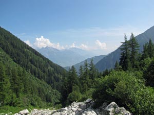
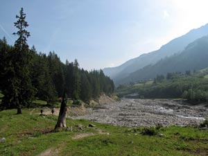 The wide gravel bed of the Drance du Ferret |
|
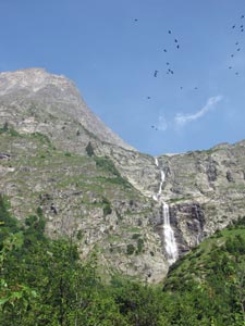
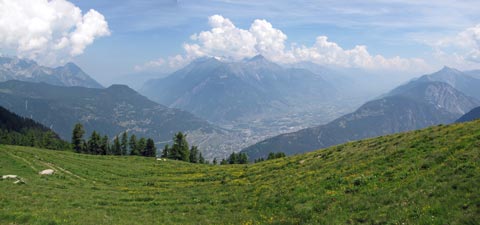
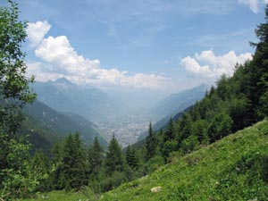
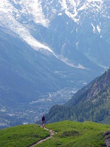
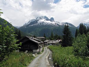
As we followed the river downstream, it broadened into a stony eroded bed, down which the water found its swift-flowing route past little hamlets in their chocolate-box settings beneath forest-clad slopes and snow-tipped mountains.
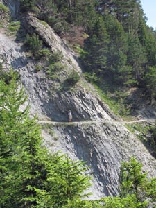
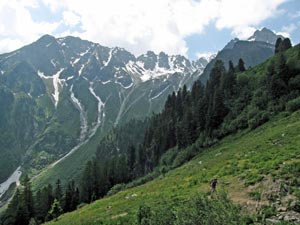
The valley again narrowed to form a small gorge, obliging us to climb for a short distance to round a steep rock-face before descending the Crête de Saleina, the boulder-pocked and tree-covered lateral morain of a long-retreated glacier. It was only mid-morning and the still valley air was already heating up.
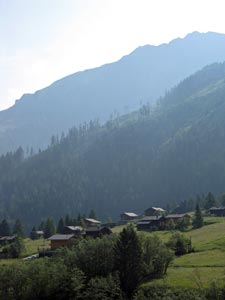
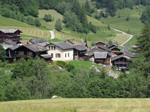
At the base of the morain, we crossed a broad flat to enter the village of Praz-de-Fort, first through modern holiday chalets, then past the traditional brown wooden valois houses and barns. |
|
|
 |
 |
||
|
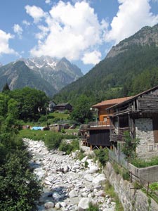
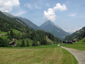
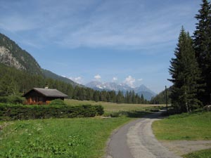
The route now crossed the river twice more, passing through several traditional villages and offering great views up and down the valley. The final crossing of the Drance du Ferret brought us to Issert - at 1055m, it was our lowest point on the TMB since leaving Les Houches. As we sipped our coffee on a narrow terrace in Issert, we could look up to our destination 400m above in a hanging valley beneath the bulky peak of Le Catogne - Champex-Lac was waiting.
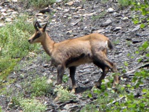
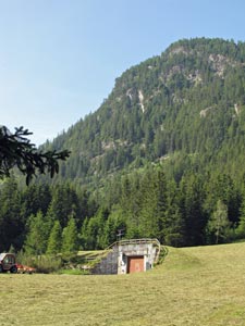
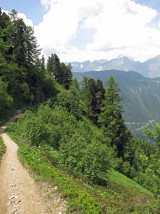
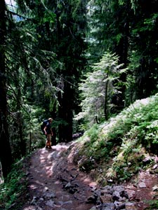
A final stretch on the flat road, followed by a long climb up the Sentier des Champignons, which alternated sharp ascents up spurs with more gentle traverses across the forested slope, brought us to the old terminal morain holding back the waters of the lake above. On the way we spotted our first (and only) chamois on the slopes above - now that made our day!! Passing one of the many discrete bunkers that the Swiss army has bored into the mountainsides here, we finally emerged into the town of Champex after an hour and a half of perspirational climbing. |
|
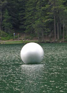 Une pièce d'art flottante |
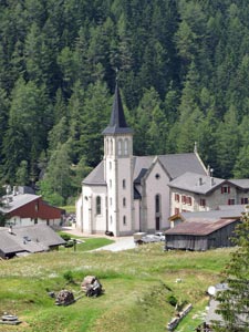
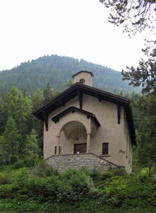 The little chapel in the forest |
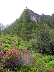
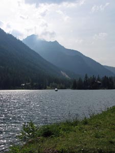 Lac Champex and Les Clochers d'Arpette (2814m) |
|
||
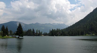 Lethargic afternoon at Champex-Lac |
 |
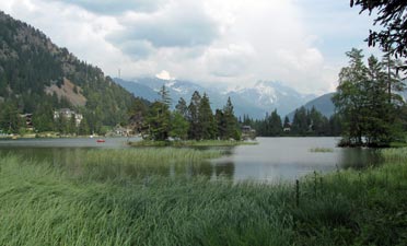 The tranquil reed beds of Lac Champex |
|
||
|
 |
 Nello and the giant fir trees |
|
|
|
|
|||
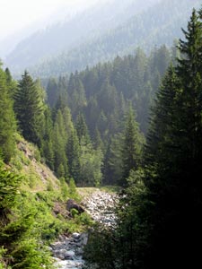
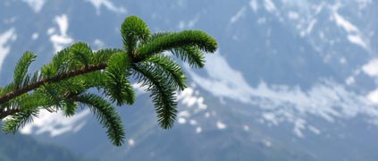
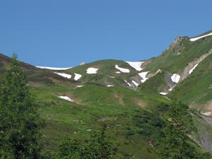
 Mixed fir and larch forest |
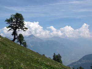
 Near the top of the climb - looking back to the Clochers d'Arpette |
||
|
|
|
|
|
|
|
|
|
|
||
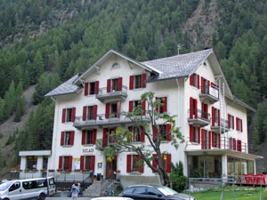 Our gîte in Trient |
 |
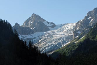 Early morning on the Glacier du Trient and Point d'Orny |
|
|||
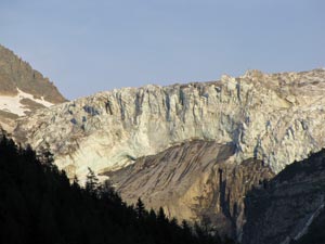
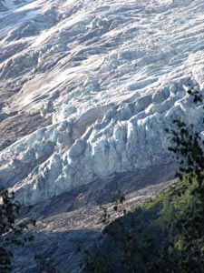 Face of the Glacier du Trient |
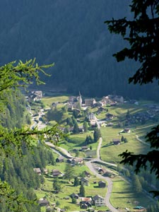 Lookng down on Trient from the west |
 Upper valley du Nant Noir |
 Track below the Croix de Fer |
|
|||
 Looking up to the Col de Balme and its refuge |
 Refuge du Col de Balme |
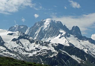 Side view of the Aiguille du Tour |
|
||
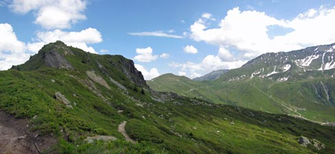
 On the Col des Posettes |
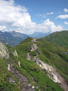 Climbing the narrow ridge of the Aiguillette |
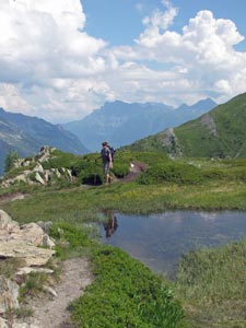 A tiny pondage on the ridge |
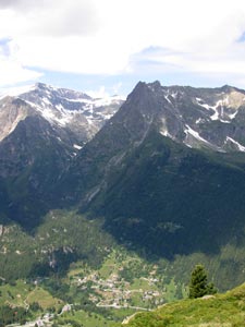 Looking down into the Vallorcine |
 The Aiguillette des Posettes |
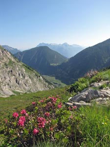
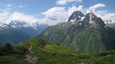 View from Les Posettes across the deep valley to Les Aiguilles Rouges |
|
|
 |
 |
 |
|
|
||||
|
 Hamlet of Tré-le-Champs |
 Face of the Glacier du Tours |
Here we checked into the Auberge de la Boerne, a traditional wooden building that probably breaks every Occupational Health and Safety Regulation known in the way that they pack walkers into dorms. We may well have considered it a charming rabbit warren, had we not ended up sharing an attic with three others, sitting room only and not much more than one cubic metre of space per person! Still, the alternative was to descend further and one does not give up precious metres so easily. |
||
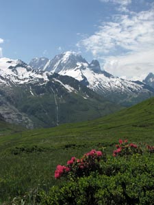
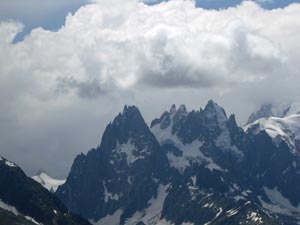 Storm clouds gather over the jagged peaks... |
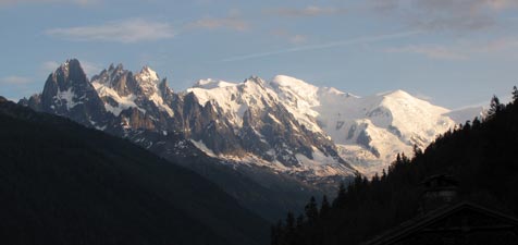 .... only to clear and let the massif gleam in the late evening light |
|
|