| Bibbulmun Track South (Walpole to Peaceful Bay) |
Walpole to Frankland River Campsite - a taste of tall timber (17 km) |
 |
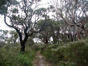
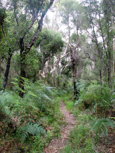
The skies were grey and a heavy shower was falling as we waited in Denmark for the bus to take us back to Walpole for the beginning of our Bibbulmun adventure. The previous day we had driven in the reverse direction, burying one stash of food and leaving a couple more at places we intended to stay. Everything was organised, apart from the weather. Still the forecast said "morning drizzle" and it turned out to be right - by the time we reached Walpole the sun was out. Our day would be partly cloudy, partly sunny, but not at all wet.
|
|
|
||
 |
 |
 |
 |
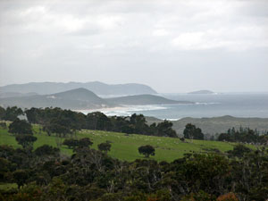
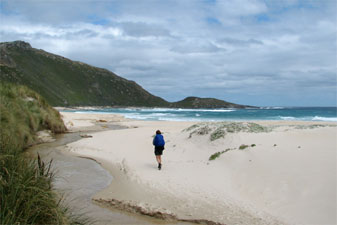
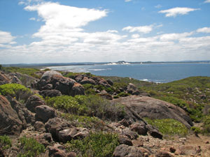
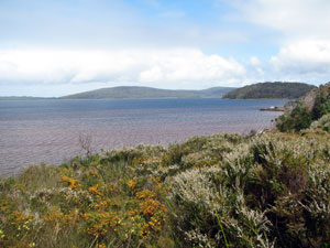 Nornalup Inlet |
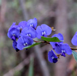
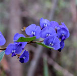
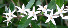
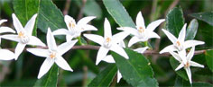
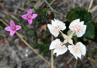
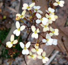
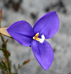
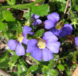
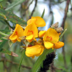
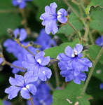
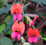
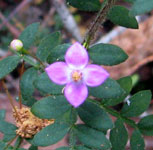
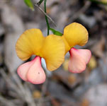
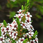
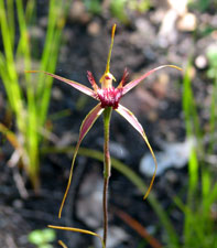
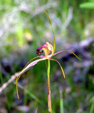
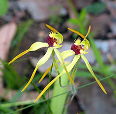
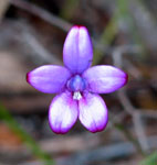
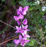
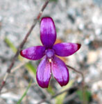
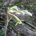
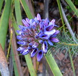
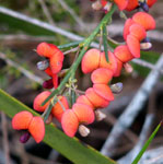
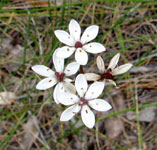
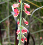
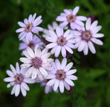
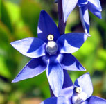
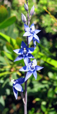
Crossing a small flat peninsula, we emerged at Coalmine Beach on the shores of the larger Nornalup Inlet, following the shoreline along a low cliff. Every so often the tall shrubs cleared to give a view out across this wide inlet. The floral display continued with tea-trees covered in white blooms, pink callothamnus brushes and yellow pea-flowers lining the path, plus our first (and only) orchid sighting for the day - a solitary shiny-petalled blue enamel orchid. |
||||
 |
|
 |
|
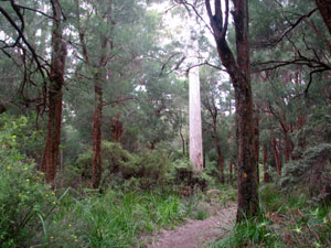
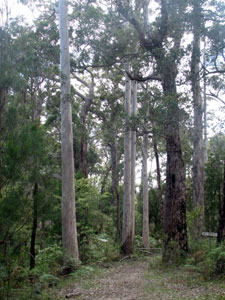
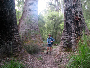
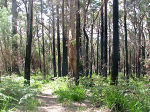
 Entering the big forest |
 A stand of young karri (only 30-40m tall) |
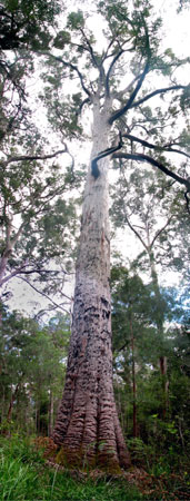
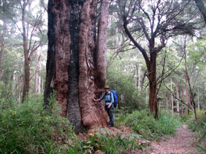
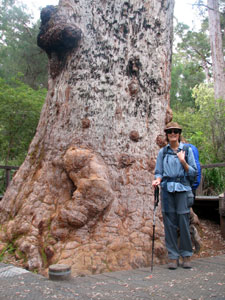 Base of a large red tingle |
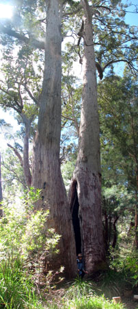
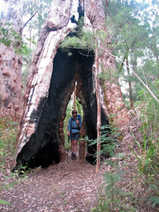
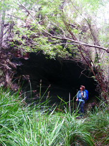 No not a cave - but the burnt out base of a long-fallen tingle |
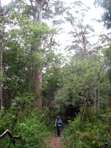
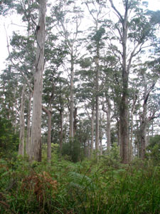
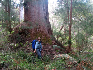
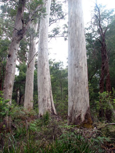
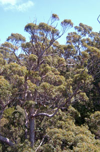
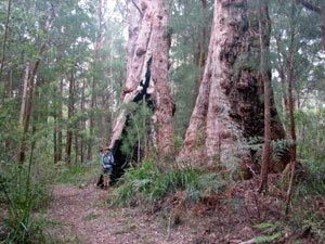
We were entering the domain of these forest giants and the soft rush of the wind in their crowns 40-50m above us soothed us as we ascended. Reaching the top, the track flattened out along the ridgeline as it meandered between these magnificent trees; the tingle is one of the 10 largest living organisms on the planet and is only found in the region around Walpole. Its knobbly rough bark and immense trunk girth exudes strength and cries out "I am a tree!", in contrast to the taller, smooth barked elegance of the karri and the graceful weeping foliage of smaller casuarinas that share the forest with it. |
 The smooth-trunked elegance of the karri and the massive trunk of the tingle |
||
 |
 |
 |
|
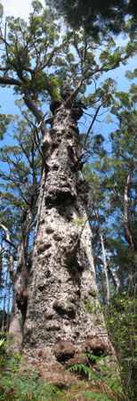
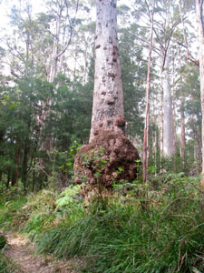
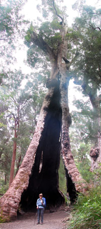 The 24m girth of the big tingle - still alive despite the base being completely burnt out |
We passed many such large trees, some with their bases hollowed out by fire, eventually reaching the boardwalk that meandered around a grove of these giants, including the largest of all with a girth of 24m. It was a good spot for lunch.
|
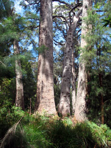
 Another massive red tingle |
 Another giant red tingle |
 Lone karri illuminating a stand of casuarinas |
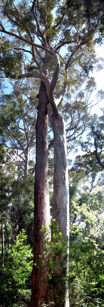
 The tingle twins - check the base for some perspective |
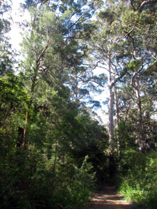
Leaving this tourist area, the track took us back into the forest, never logged and unburnt for decades, it was a magnificent stroll in amongst the dappled shade of some of the biggest trees in Australia, listening to the songbirds and the wind above. |
 40m karri and tingle with intertwined crowns |
|
 The smooth straight elegance of the karri |
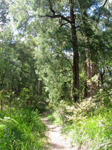
 Deep in the forest |
||
|
|||
 Frankland Campsite |
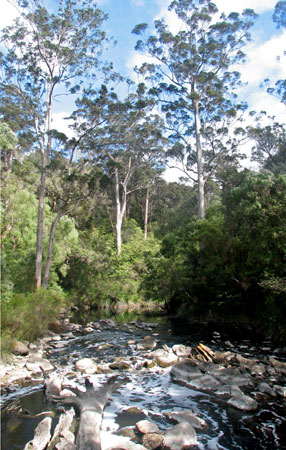
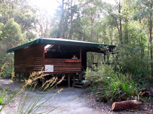
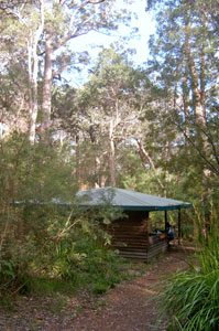
It was our first stay at a Bibbulmun shelter and we were highly impressed with the large 3-sided raised wooden structure, complete with water tank, sleeping platforms and tables. Time for a coffee and then a wander down to sit in the sun on the flat rocks at the edge of the Frankland River, soaking up the late afternoon warmth as we watched its smooth black waters flow slowly by and the grey fantails hawking insects from the shrub-lined bank. We were the only occupants of the shelter and felt very content with the day as we went to sleep to the quiet rippling of the Frankland beneath us and the croaking of the frogs along its shore. |
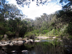 Reflections in the still black water of the Frankland River |
 |
 |
 |
 |
 |
|
 |
Frankland River Campsite to Giants Campsite - a day in the forest (14 km)
|
|
|
|
|
|
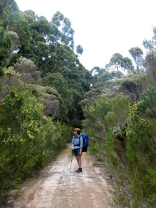
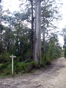 Sometimes the Bibbulmun follows forestry roads |
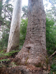
 Casuarina / karri / tingle forest |
||
 So what are they trying to tell us? |
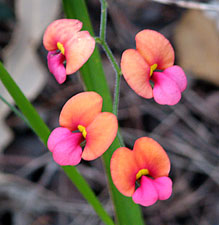
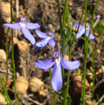
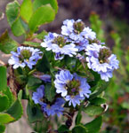
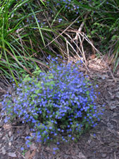 Dampiera on the track |
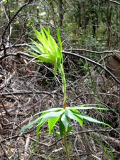
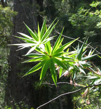 Leaves of the tassel flower |
 Nello and the three big trees |
|
|
||
 A cluster of forest giants |
|
 Casuarina grove in the forest |
|
When we had finished we paid for our tickets and headed off, climbing slowly up the 600m long steel walkway until we were 40m above the valley floor, face to face with the crowns of the giant tingles. It was worth the experience just to look down on the forest for once, rather than look up. I was impressed with the set up of the walkway, but even more impressed that I actually walked 40m above the ground on a 1m wide metal frame that swayed slightly with every step - it is a sad thing to be altitudinally challenged, especial when the fair and fearless Nello strode out and across without a care in the world. |
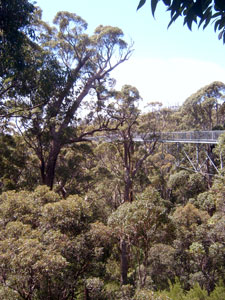 The Treetop Walk |
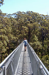 40m above the forest floor |
 Eye level view of a 60m forest giant |
|
|||
|
 Giants Campsite |
||
 |
 Scorched jarrah trunks and regrowth from a recent fire |
 |
|
|
|||
 |
 |
 |
|
||
|
Giants Campsite to Rame Head Campsite - from tree to sea (19 km)
|
|
|
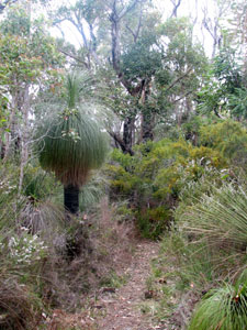
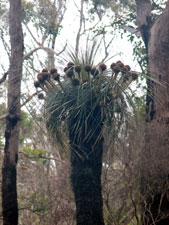 Kingia grass tree beneath the jarrah |
 Two giant tingles in a grove of casuarina |
 Big burl on a big tree |
 One last pose in a hollowed-out tingle |
|
|||
 Walking along the old railway alignment |
  |
  |
  |
  |
|
|
|
|
|
|||
 |
 |
||
 The vegetation of the Nut Block |
|
 Mixed casuarina - eucalypt woodland |
|
 |
 |
||
|
|||
 |
 |
 |
 |
 |
 |
|
|||||
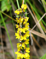
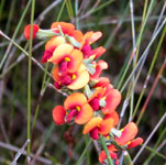
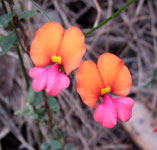
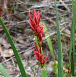
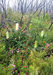
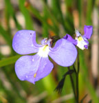
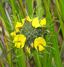 Swamp pea |
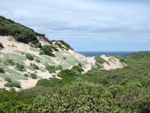
 Entering the inland dune habitat |
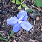
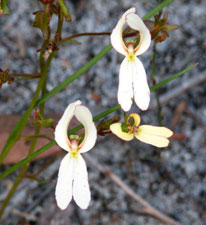
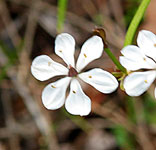
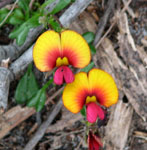
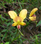
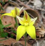
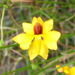
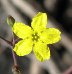
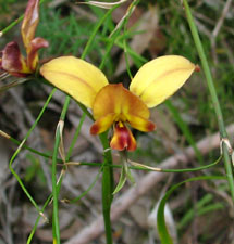 Donkey orchid |
 Low dune woodlands |
|
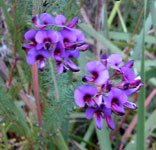
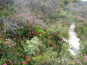
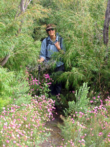
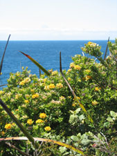
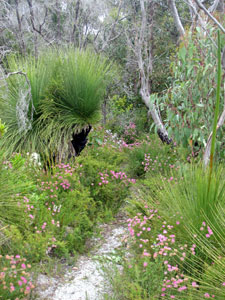 In the flower gardens of the dunes |
||
 |
 |
 |
||
 |
 |
 |
 |
 |
 |
|
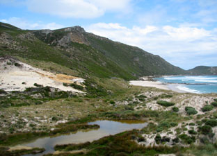
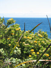
Crossing through the sword sedge of one last swampy interdune valley, we followed the next sharp dune ridge along until, eventually, the deep blue of the Southern Ocean came into view. The sun was battling with grey clouds and the cold south-easterly was slowly strengthening by the time that we reached Conspicuous Beach and, before descending the wooden steps to have lunch at the beach shelter, we retrieved our buried stash of food. Tonight, despite what the weather would bring, we would eat well! |
 First view of the ocean near Conspicuous Creek |
|
||
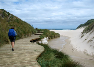 Boardwalk alongside Conspicuous Creek down to the beach |
 Heading towards Conspicuous Cliffs |
 Small perched lake in the dunes near Conspicuous Cliffs |
 So where has the track gone? |
|
||
 |
 |
|
|
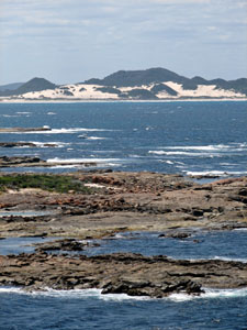
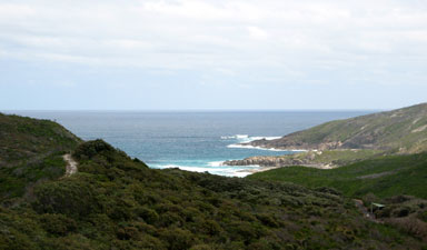
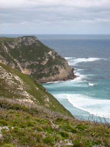
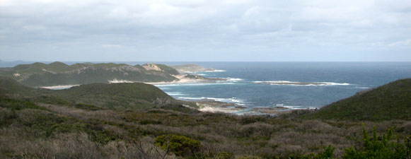
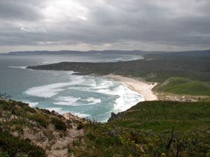 View westward from Conspicuous Cliff |
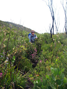
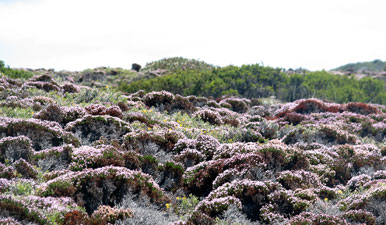
 Diversity of the low post-fire heath |
 The last bit of sunshine lights up Rame Head |
|
||
However, the grey skies had won the day and the south-easterly was now blustering and cold. We settled into the shelter, partially protected by a glassed wall on the open easterly side. Reading the shelter logbook, other had fared far worse on this exposed headland, with tales of drenched people barely able to stand in gale-force winds as they struggled up to the campsite. For this and for the great day we felt content. It had been a slow and pleasant trip from forest to sea. As evening approached we were joined by two Queensland women heading in the opposite direction from Peaceful Bay - the first time that we had shared a site with fellow Bibbulmun Track walkers and it was pleasant to share experiences with nice companions. |
 View from Rame Head Campsite towards Point Irwin |
|
|
|
Rame Head Campsite to Peaceful Bay (13 km)
|
|
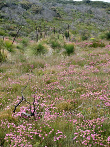
 New green heath beneath the grey skeletons of burnt peppermint |
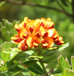
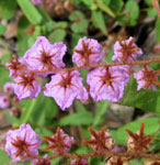
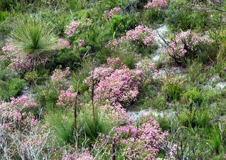 Pink patches of pimelea are prominent in regenerating heath |
 Death and renewal - the twin impacts of fire |
|
||
 Heath covered sand ridges near Rame Head |
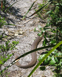
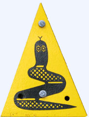
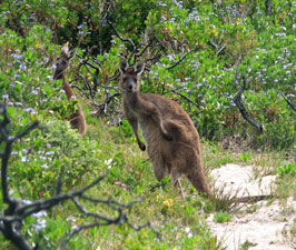
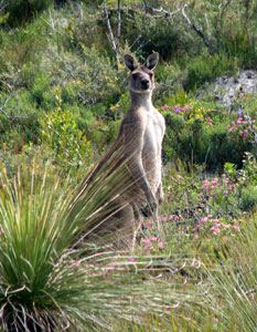 Be alert but not alarmed! |
 |
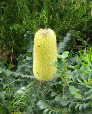 Bull banksia cone |
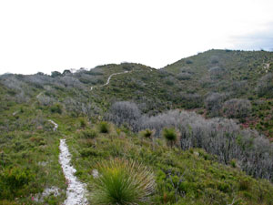
 At times the track almost lost itself in regrowing peppermint thickets |
The track in this dune section was often overgrown, but eventually led us to that unique Western Australian feature - a boot-cleaning station in the bush. We took a breather and scrubbed away, continuing on with the soles of our boots squeaky clean and certified phytophthora-free. |
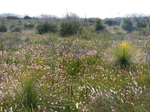
 Pink pimelea-splashed heath |
|
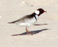
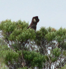 Black cockatoo keeping an eye out |
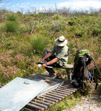 How considerate - a spot to clean one's boots! |
||
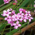
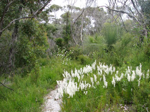
Soon we were crossing a low swampy area, where a series of boardwalks suggested that the water level was often a lot higher than the present. Today we were treated to a display of white and pink flower-spikes dotted throughout the dry swampland. |
 Flower-speckled swamplands |
||
 |
 |
 |
|
 Path to the sea via The Gap |
|
 Crossing the dunes to The Gap beach |
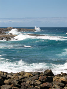 Big seas at the stony beach |
|
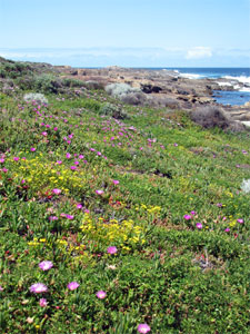 Pig-face and coastal daisy covered shoreline |
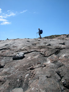 Climbing the granite slab of Castle Rock |
|
|
 View west to Rame Head from Castle Rock |
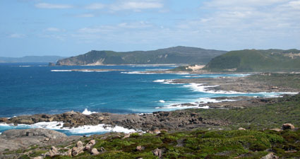
 View north to Peaceful Bay from Castle Rock |
|
|
|
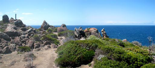 The rock garden of Castle Rock (Point Irwin) |
 Some of the curious wind-sheared granitic flora |
|
|
|
||
 |
 |
 |
||
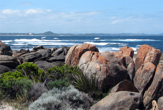 The rocky shoreline of Foul Bay north of Point Irwin |
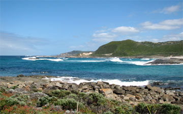
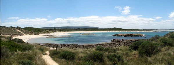 The tranquil waters of Peaceful Bay |
|
|