| Pirin Wine Trail |
Getting There |
|
|
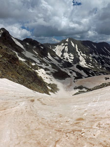
 Stormy weather over the Pirin Mountains |
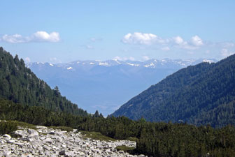
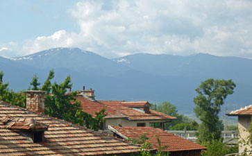 View across the rooves of Bansko toward the Rila Mountains |
|
||
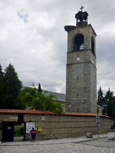 Church tower with stork nest |
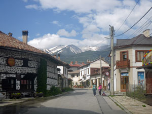
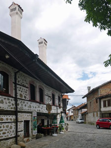 Traditional houses in Bansko |
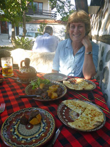 The pre-trek Bulgarian feast |
|
 |
|
|
|
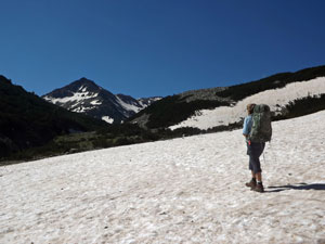
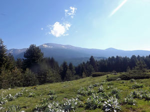
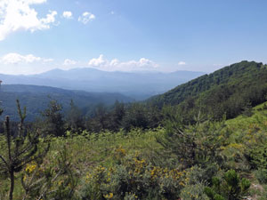
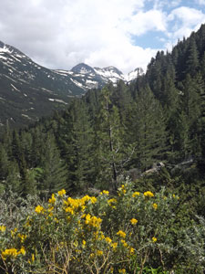
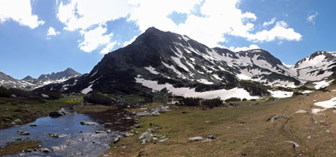
 Heading out of Bansko (2914m Mt Vihren in the background) |
 |
 |
|
|
|||
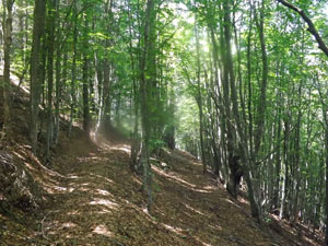
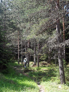
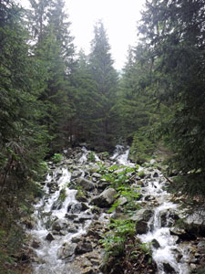
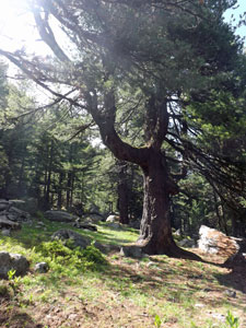
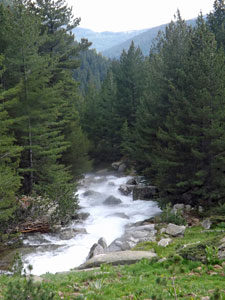
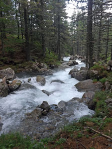
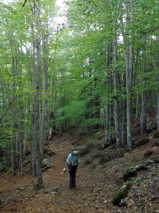
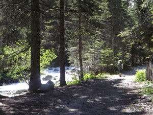 Track beneath the pines |
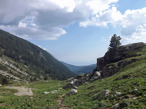
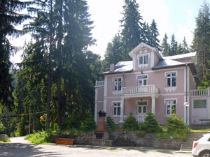 The Katerina Hotel - a good spot for coffee |
||
|
|||
|
|
|
|||
 |
 |
 |
 |
|
|
|
|
|
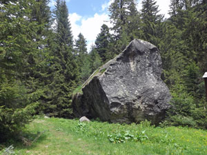 200 years ago the heads of some bandits were displayed on this rock |
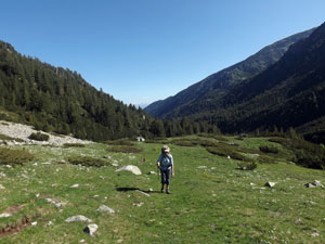
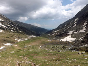
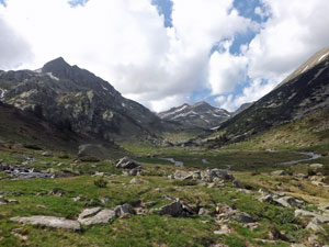
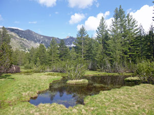
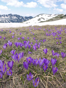
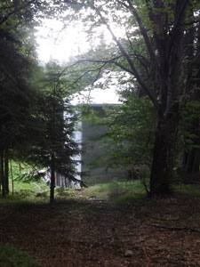
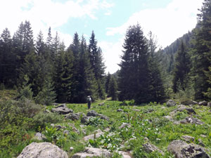 The grassy clearing at Demyanishka Polyana |
|
|
||
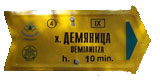
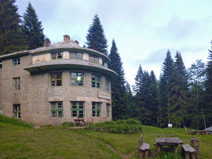
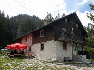 Hizha Demyanitsa |
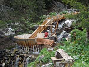 The outdoor laundry machine (ingenious) |
|
|
||
|
||
|
|
|
|
|
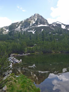
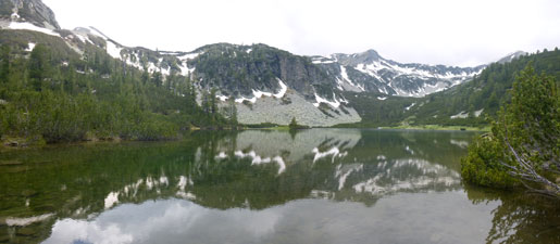 Reflections in Vasilashka Lake of snow-streaked slopes near the Todorina Pass |
|
  |
|
|
|
|
|
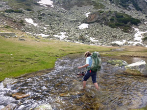
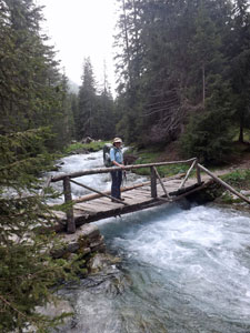
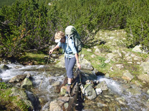 Crossing a side stream ... |
 ... and crossing the Long Meadow |
|
|
||
 |
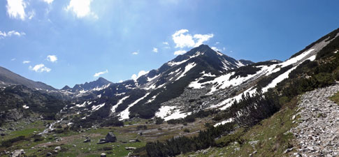
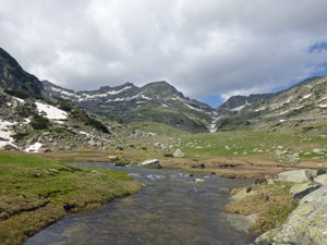
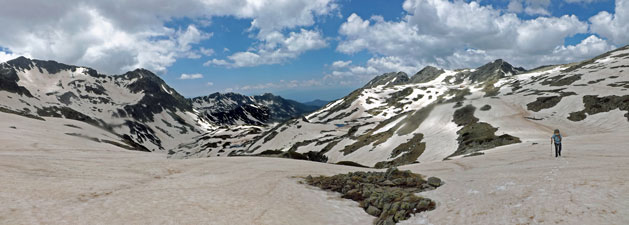
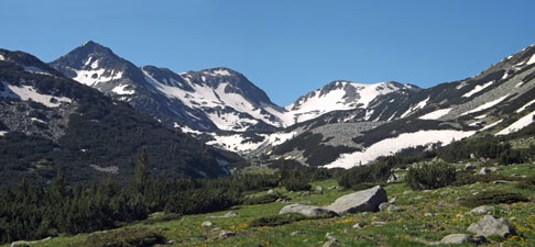 Panorama of the upper valley (dominated by 2664m Valyavishki Chukar) |
 |
|
|
||
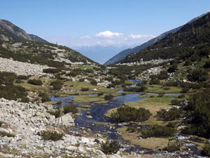
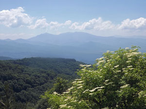
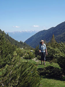
 View back towards the distant Rila Mountains |
 A boggy area in the upper valley |
||
|
|||
 |
 |
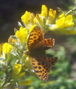
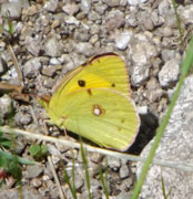
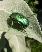
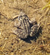
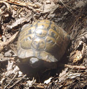
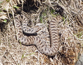 Not too cold for snakes |
|
|
||
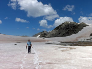
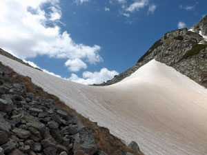
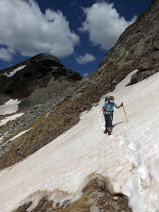
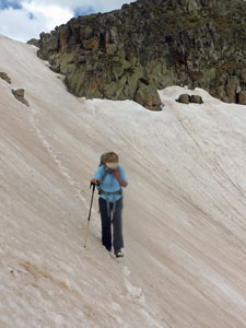
 Traversing the first snowdrift |
 |
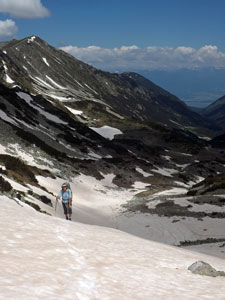
 View back toward 2670m Malak Polezhan |
|
|
|
||
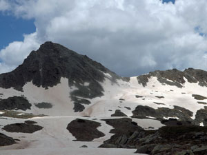
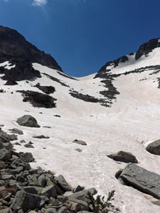 Looking up to the 2530m Mosgovishka Pass |
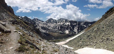
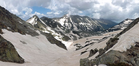
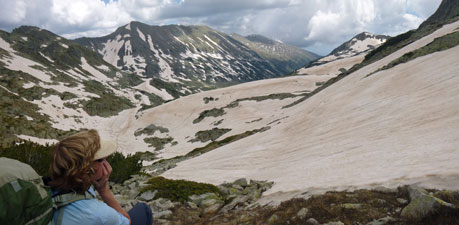
Our first pass was done and the views from it were superb, back down the long length of the Demyanitsa Valley to the hazy Rila Mountains in the north and southwards over the rugged snow-streaked walls of the Belemeto Cirque - a superb alpine panorama. |
 Nearing the top of the pass |
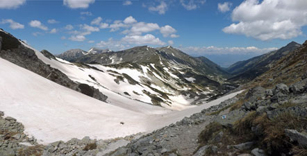
 View over the pass to the peaks of the Begovishki Rid |
 View back down the Valyavitsa Valley towards Demyanitsa |
|
|
|
 Crossing the big snow bowl near Tevno |
 Ice-covered Tevno Lake and Momini Dvori (2714m) |
|
|
||
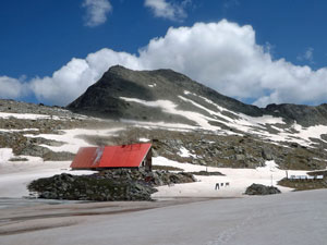 The red roof of Zaslo Tevno Ezero (Tevno Lake Refuge) |
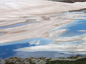 Patterns of ice and water |
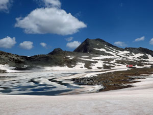
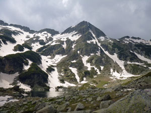
 Kralev Dor (2680m) and the Kralevdvorska Dyasna Pass |
|
|
|
|
|
|
||
|
 |
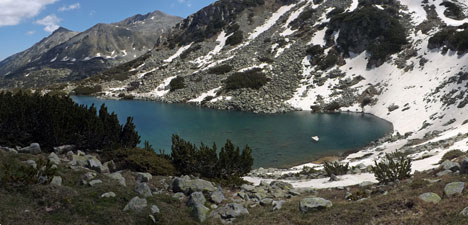
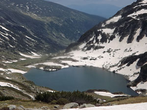 Mitrovo Ezero |
|
||
 Malka Kamenitsa (2679m) |
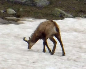 Zooming in on a chamois (one of three) |
 The upper Demirkapiyska Valley |
|
||
 Crossing an icy melt-water stream |
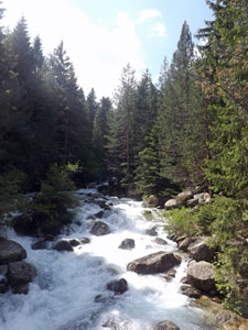
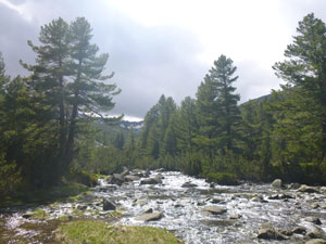
 The river in the Upper Valley |
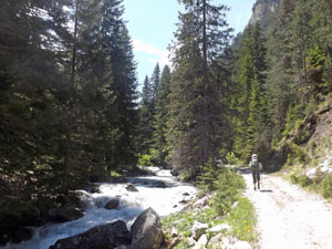
 Middle Valley landscape |
|
|
||
 |
 |
 About to descend from the middle Demirkapiyska Valley |
|
|
|||||
 |
 |
 |
 |
 |
 |
|
|
|
|
|
  |
|
|
 |
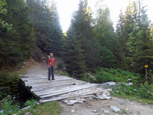 Crossing the Kelyova Reka |
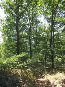
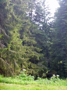
 A clearing in the conifer forest |
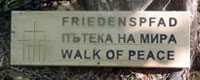
 The tranquility of the "Walk of Peace" |
|
|
|||
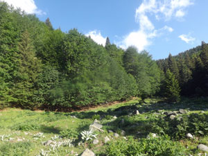
 The meadows of Staro Lopovo |
 |
 |
|
|
|||
|
|
 Ridge clearing on Vlachkiya Pat (Vlach's Trail) |
|
|
|
||||
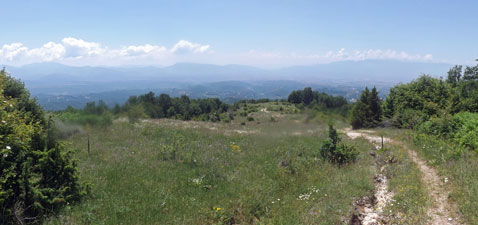
 Views from the Vlachkiya Pat |
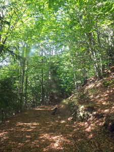
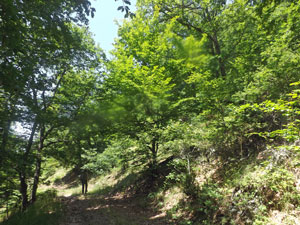
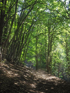
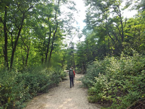
 Path through the forest near Vlach's Spring |
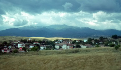
 Lovely day in the south of Bulgaria |
||
|
|
|||
 |
 |
 |
 |
|
|
|
|
|
|
||
 |
 |
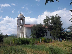
 The chapel of St Prophet Elijah (built in 1856) |
|
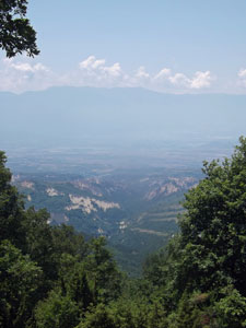
 Views out over the sandstone country from the chapel |
 Sharp ridges of sandstone rising from the forested valleys |
|
|
|
 |
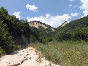 The dry bed of the Rozhenska Reka |
|
|
|
|
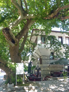
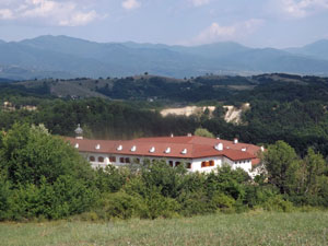
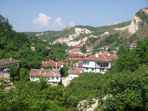
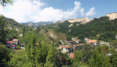 The superb setting of Rozhen |
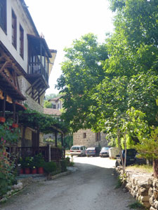
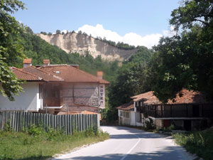 Houses in the village of Rozhen |
|
|
||
 The church of St Cyril and St Methodius |
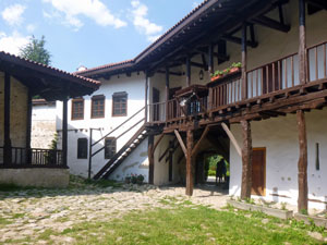 Courtyard of Rozhen Monastery (founded in the 13th century) |
 Looking back over Rozhen monastery |
|
|
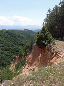
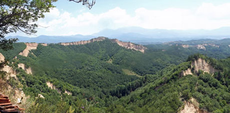
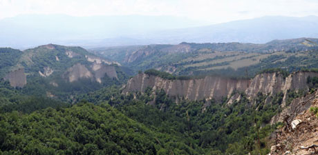
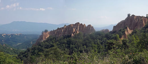 Razor-back sandstone ridges south of Rozhen |
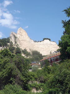
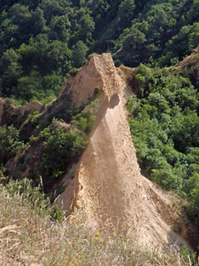
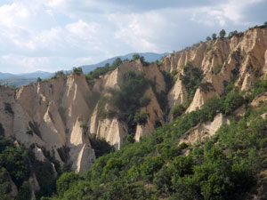
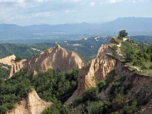 The Melnik Pyramids |
|
|
|
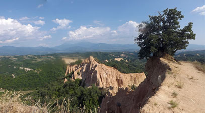 The lone oak tree at the end of a ridge |
 Hoodoo-like sandstone formations |
|
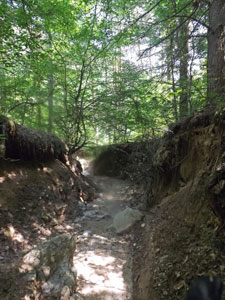
 Dry bed of the Rozhensko Dere - the road to Melnik |
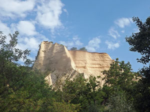 An isoloated sandstone mesa |
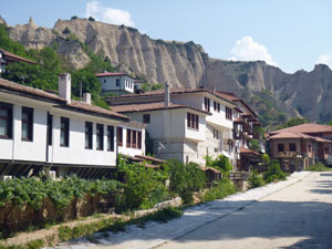 At last the streets of Melnik |
|
|
|
|
 The setting of Melnik |
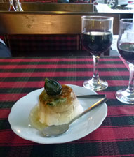 Fig icecream and a Melnik red |
||
|
|
  |

 Day 2 - Demyanitsa Hut to Pirin Hut
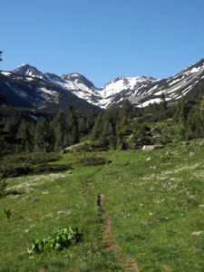
 Day 3 - Pirin Hut to Melnik