| Skyline Trail |
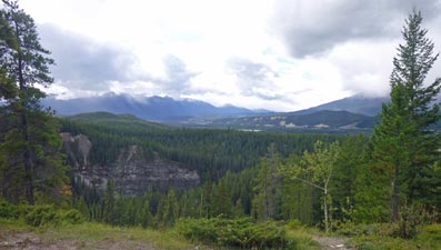
Getting There |
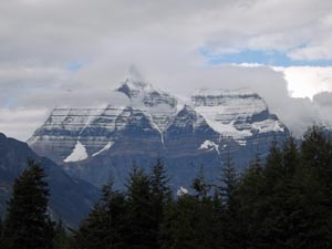 Mt Robson (3954m) - highest peak in the Canadian Rockies |
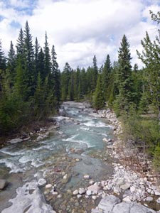
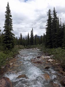
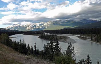 The Athabasca River near Jasper |
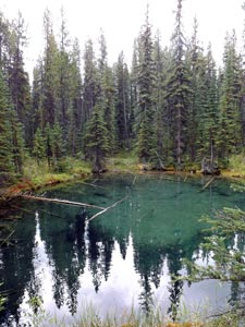
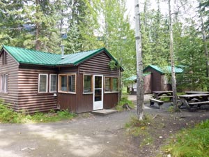 Maligne Canyon Wilderness Hostel |
|
  |
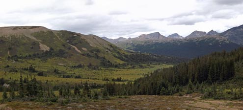
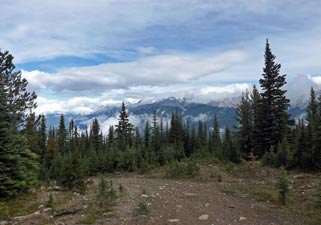
Day 1 – Lake Maligne to Snowbowl Camp (12.5km - 510m ascent – 110m descent) |

|
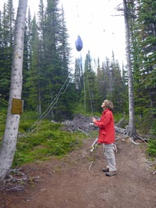
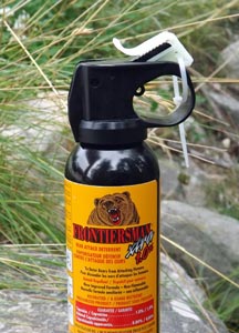 Don't forget the bear spray! |
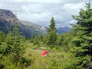
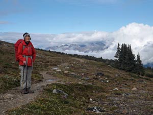
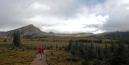
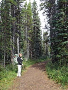 The fair Nello setting out on the Skyline Trail |
||
 |
 |
 |
||
|
||||
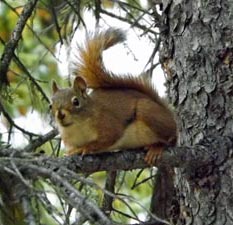
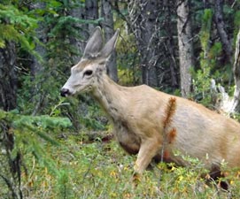 Mule deer
|
 Reflections on Lake Lorraine |
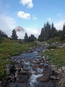
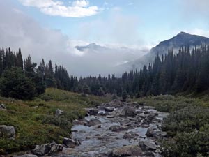
 Evelyn Creek |
||
|
|||||
 |
 |
 |
 |
 |
 |
|
|
|
 |
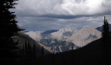
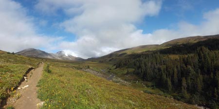
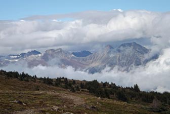
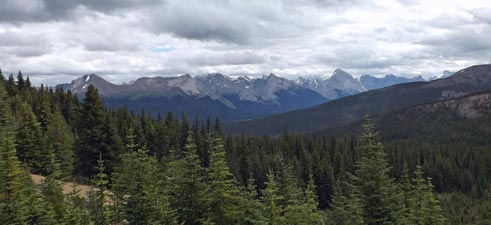 View south from above the trees View south from above the trees |
|
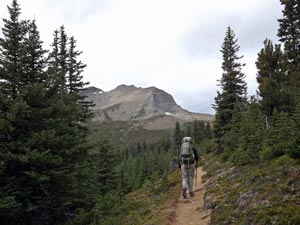 Heading towards Little Shovel Pass |
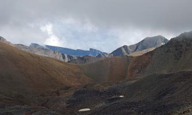
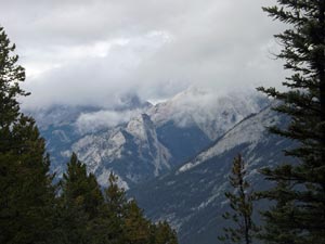
 Close-up of the distant mountains |
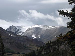
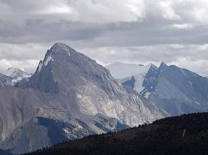 The grandeur of the Rockies |
|
|
||
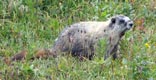
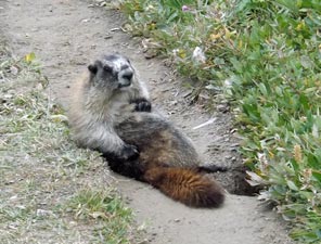 A self-indulgent marmot |
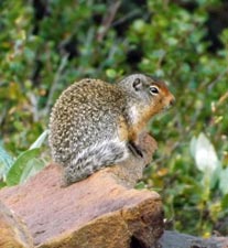
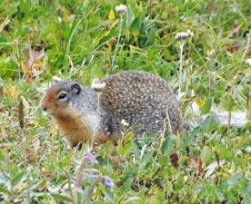 Columbia ground-squirrel |
||
|
|
|
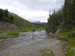 Fording a branch of Jeffrey Creek |
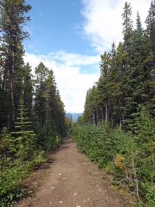
 Path across the alpine meadows of The Snow Bowl |
|
|
|
|
|
|
|
  |
Day 2 – Snowbowl Camp to Tekarra Camp (a day in the clouds) (19km - 660m ascent – 700m descent) |
|
||
 Dawn light on the snow-dusted mountains |
 |
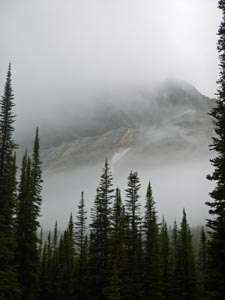
 Mountain mist magic |
|
|
|
|
 Heading off across the alpine meadows Heading off across the alpine meadows |
 |
||
|
|||
 A branch of Jeffrey Creek |
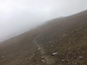
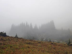 The fog returns |
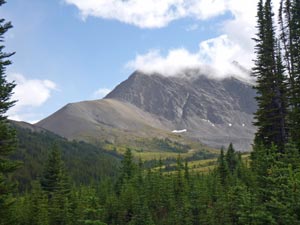
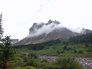
 Antler Peak playing hide and seek |
|
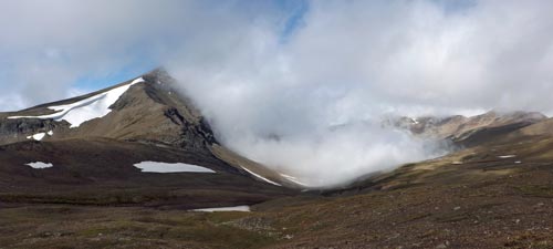
As we headed down to Jeffrey Creek, a low mist swept in to play hide and seek with the nearby Antler Mountain, before once again blowing away to reveal the magnificent landscapes in sunny splendour. The theme for the day’s walk had been set.
|
|
|
||
 |
 Panorama of Curator Mountain (2624m) generating its own cloud (from Big Shovel Pass) |
|
|
|
 Crossing the barren scree slopes |
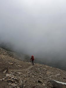
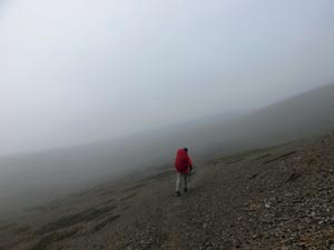 Heading into the mist |
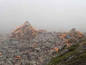 The rock garden below Curator Lake |
|
||
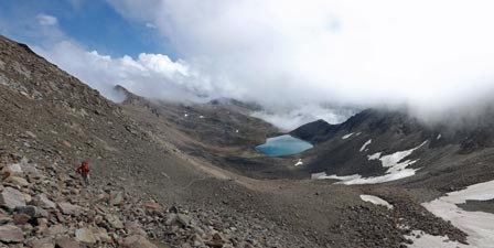
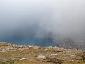 Curator Lake... I think |
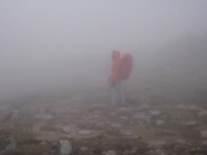 In the thick of the fog near Curator Lake |
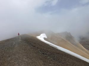
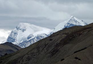
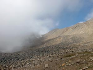 The cloud parts to reveal The Notch (2510m) |
|
|
|
 |
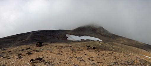
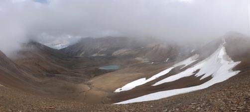
 At last a panoramic view of cirque surrounding Curator Lake (from The Notch) |
|
|
|
|
|
|
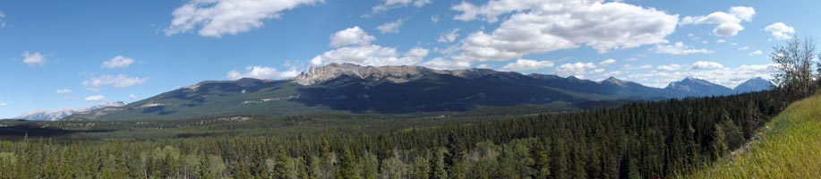
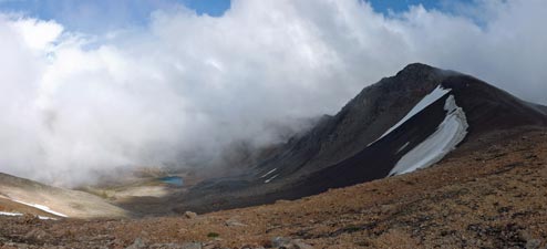
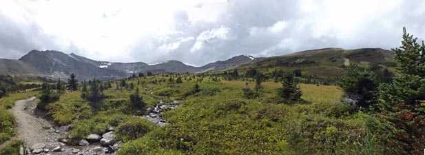
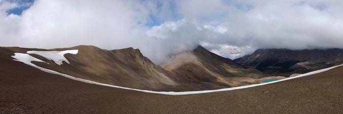 Skyline panorama - beautifully barren |
 |
|
||
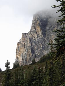
 The rockscape of Amber Mountain |
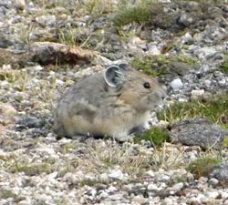 Portrait of a peeping pika |
 Looking back towards The Watchtower from the east side of Amber Mountain |
|
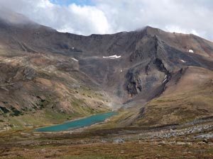 Centre Lake below Centre Mountain (2700m) |
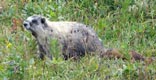
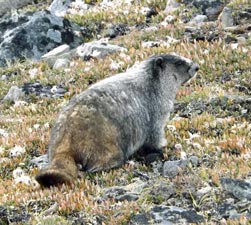 Another furry marmot |
 Tekarra Mountain (2693m) towering above Tekarra Lake |
|
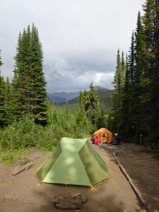
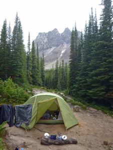
I managed to pitch the tent, fly first to keep the inner tent dry, and we moved in to the distant peal of thunder as the rain became quite heavy. The campsites, scattered in a grove of spruce for shelter, are designed well here, with mounded clay beds to ensure water runs away in all directions. As always, the sun returned, so we could fetch water and get ourselves sorted out for dinner, which of course signalled the return of the rain.
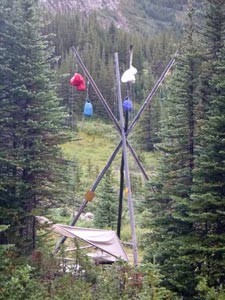
Luckily, one of the other hikers had erected a tarp over a table and we could eat beneath it as the rain pelted down, followed by a quick wash-up, hoist the food bag up the bear pole and scramble into bed. Such is camp life on the Skyline Trail.
|
|
|
  |
Day 3 – Tekarra Camp to Northern Trailhead (14.5km - 140m ascent – 1030m descent) |
|
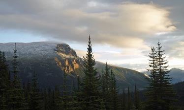
 Icy morning at Excelsior Mountain (2744m) |
 Even the ground squirrels huddled up |
 The sheer walls of Tekarra Mountain |
|
||
 View back over the Tekarra Valley toward Centre Mountain 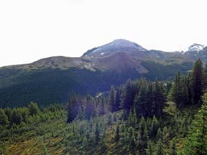 The north side of Tekarra Mountain from Signal meadows
|
The track took us high above the valley, its slopes densely covered with spruce forest, while the cloud lifted to reveal the snow-capped tops of Excelsior and Centre Mountains dominating the valley. We gradually, turned northward to reach an area of alpine meadow on the far side of Signal Mountain, where we were greeted by an icy wind – I don’t think I would like being on the exposed ridges of the Skyline today. | 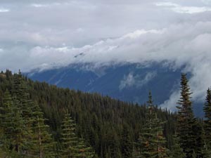 A land of cloud and forest
|
|
|
|
||
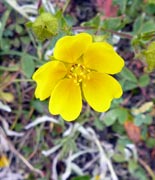
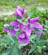
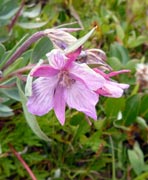
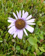
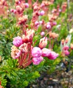
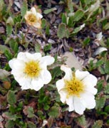
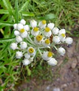
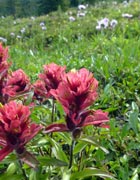
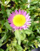
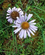
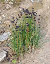
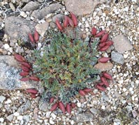
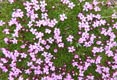
This section was our last chance to stroll the open tops of this trail, as the track perambulated through the meadow, passing small tarns and patches of alpine herbs still in flower. The distant mountains appeared and disappeared as the billowing cloud rolled along the valleys. The cold and wet start to the day was already forgotten in the majesty of these mountain vistas. |
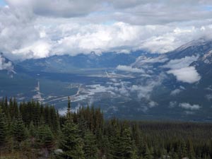
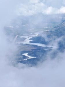 The Athabasca River through a gap in the clouds |
|
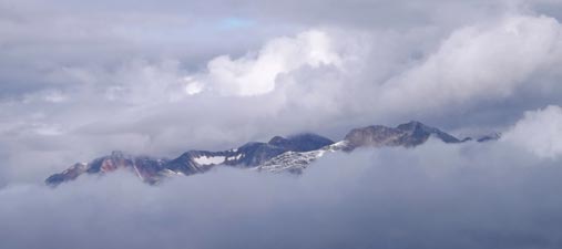 Cloud billowing about the mountains of Jasper National Park |
 |
|
 View north from Signal Mountain |
 |
 Start of the Signal Fire Trail |
|
||
 |
 |
 |
 |
 |
|
||||
 Descent of Signal Mountain |
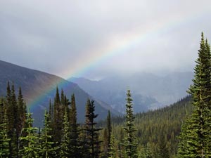
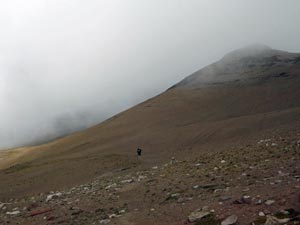
 The bare rock face of the Colin Range through the trees In many ways we were fortunate, as the weather could have been much worse (had it listened to the forecast) – the edge of a thunderstorm, a few snowflakes, just a few showers while we were out on the track and the magic of the swirling mists that hid and then revealed the superb alpine panoramas of this trail made it a hike to remember. |
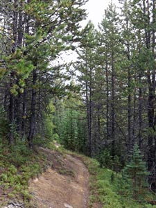
 Pine forest near the end of the trail |
|
||
  |
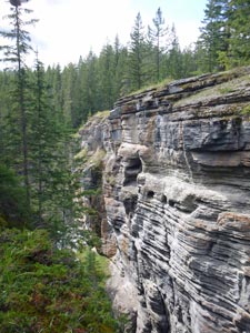
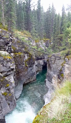
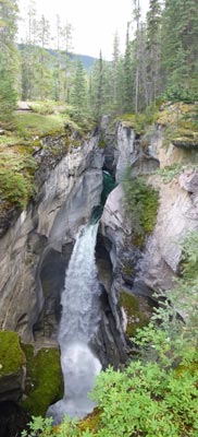
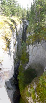
Maligne Canyon (a bonus to the Skyline Trail) |
|
|
|
|
|||
 |
 |
 |
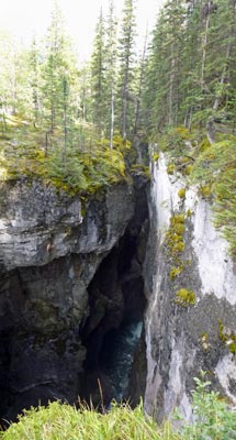 |
| A few images of the magnificent upper section of Maligne Canyon as it slices its way through the limestone bedrock | |||
|