| Wilson's Promontory Grand Circuit |
|
This page is dedicated to the memory of my cousin, Clare Withers, Getting There
|
|
|
|
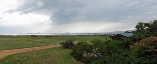
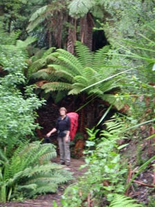
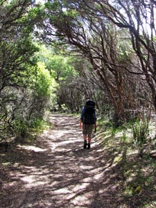
Day 1 - Tidal River to Sealer's Cove (13.5 km - 370m ascent - 380m descent)
|
|||
|
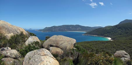
 Track up to Windy Saddle |
||
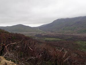 Fire damaged slopes below Telegraph Saddle |
 |
 |
|
 |
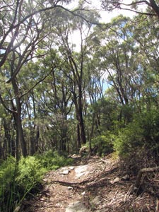
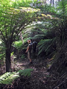
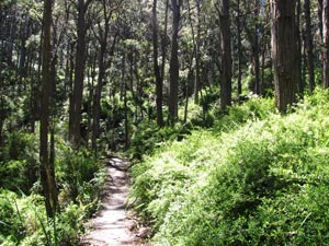
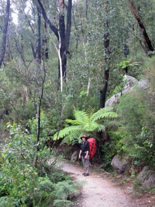
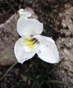
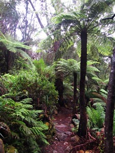
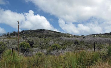
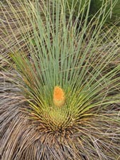
The clouds were scudding across the saddle just above us as, at last, we set off on the walk proper - heading westward along the northern face of Mount McAlister. It was more sheltered here, as we followed a well-formed gravel path, that wended its way through fairly open forest, before entering a section burnt by the January fires. We started to climb more steeply up through a scorched landscape of blackened trunks - yet epicormic shoots were sprouting on the trees, grass trees had sent up flowering spikes and a patchy carpet of herbs and ferns was reshooting from the forest floor. Fire is certainly a trigger for a new cycle of life. Climbing steadily, we entered the misty realm of the cloud layer, a gentle mask that softened the scars of the burnt forest, to reach a ridge lined with flag lilies swaying in the freshening breeze. The track took us back into unburnt forest just before Windy Saddle, at 300m the highest point of our day's walk. |
 |
|
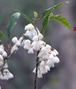
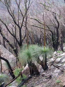 Grass trees flowering after the bushfires |
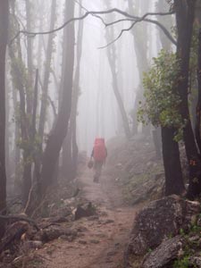 Heading up through the mist |
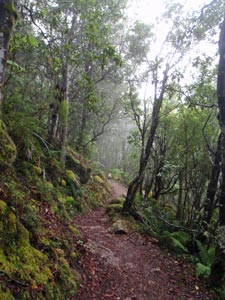 Mossy rocks lining the path on Mt Ramsay |
 In a ferny glade |
|
|||
 Tall tree ferns lining a stream |
|
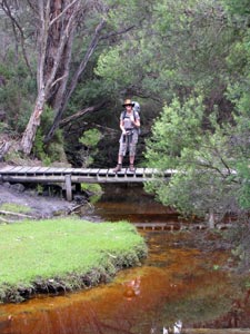
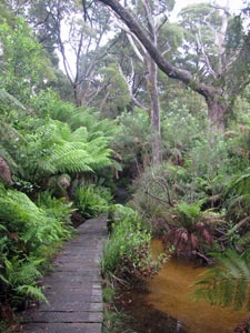 Boardwalk across the swamp |
|
||
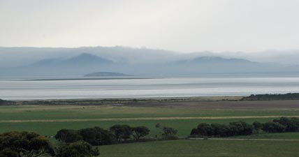
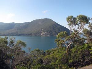
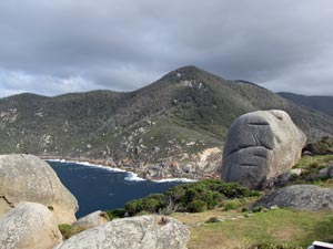
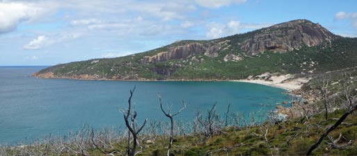
 Looking back towards Mount Ramsay and Mount Latrobe |
 |
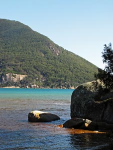
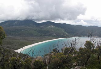
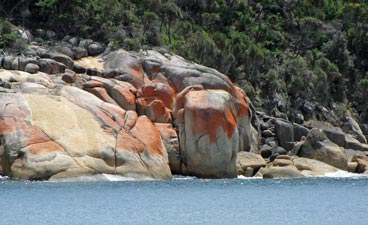
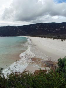
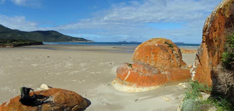
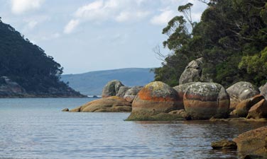 Orange-tinted boulders lining the shore of Sealer's Cove |
|
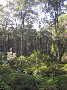 The forest behind the cove |
|
 Sunlight over Sealers |
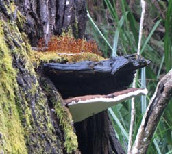 The colours of forest fungi |
|
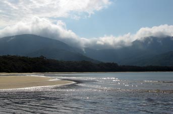 Cloud blanketing the mountains behind Sealer's Cove |
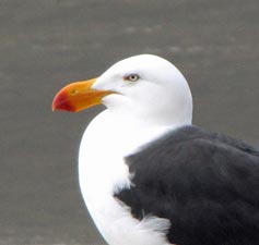 Portrait of a Pacific gull |
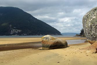
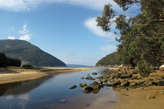 The mouth of Sealer's Creek |
|
||
 |
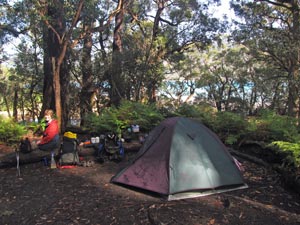 Campsite at Sealer's cove |
 |
|
||
|
||
|
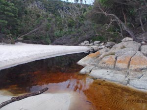
Leaving the campsite, we climbed slowly westward along the southern edge of Sealer's Cove. Between the trees, the tea-coloured water of the creek was draining the swamp into the azure blue ocean waters - a curious mix of colours. With one last glimpse of The Cathedral, guarding the northern edge of the cove, we turned south to undulate through the drier forest that lined the more exposed eastern slopes of the promontory - to our right the forest, to our left, the ocean and above the sun ... perfect.
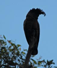
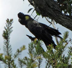
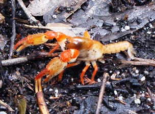
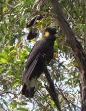
Accompanied by the friendly creaking call of gang-gangs or the mournful wail of black cockatoos, the track eventually led us up and over a granite-topped headland with splendid views in both directions, before descending into the lusher, fern-filled hollows and creeks running down to Smith Cove. Here we had the rare experience of crossing paths with a land yabby, a shy creature not usually seen out of its burrow. Cool! .... as Gen Y is prone to say. |
|
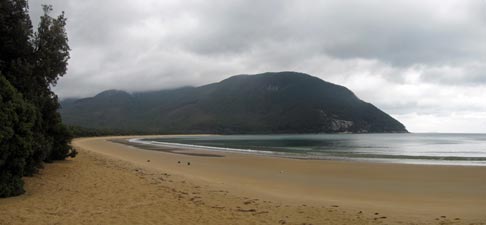
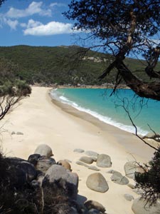
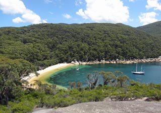
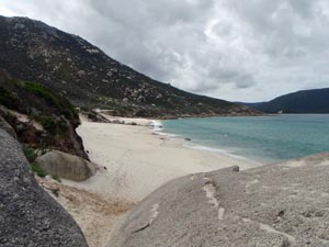
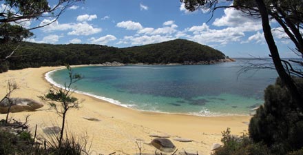 The beautiful golden beach at the northern end of Refuge Cove |
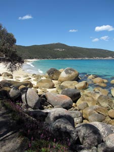
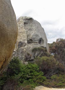
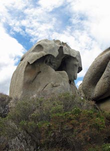
 Lichen-tinted granite boulders lining Refuge Cove |
 Crossing Cove Creek |
|
|
 Leaving Refuge Cove |
|
|
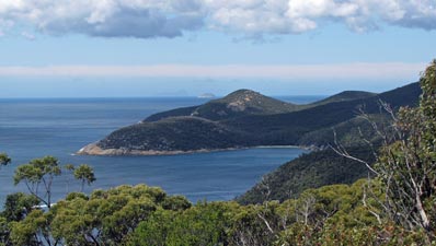
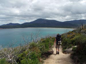
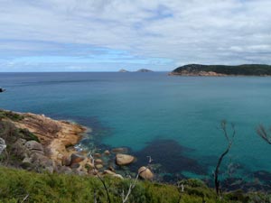
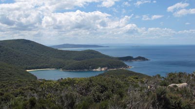 View northward from Kerstop Peak of our route so far for the day .... |
 ... and southward towards Waterloo Bay and South-East Point where we were headed |
|
|
|
|
||
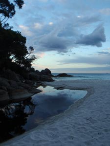
 Campsite at Little Waterloo Bay |
 The creek near the campsite |
 Boulders in the evening light |
|
||
|
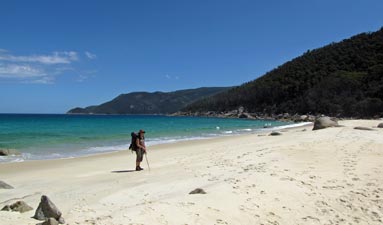
 The long stretch of Waterloo Beach ahead
|
 |
 |
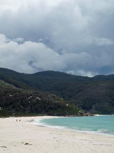 Dark clouds over Waterloo Beach |
|
|||
|
|||
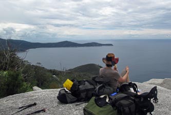 World's best lunch spots #124 |
 |
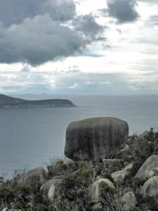
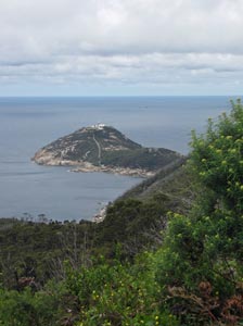
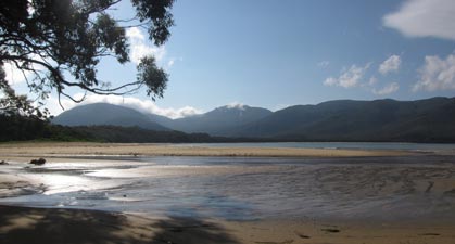
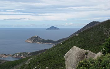 View over South-East Point to Rodondo island |
|
|
|
|
|
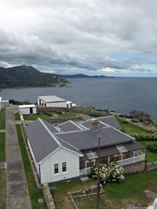
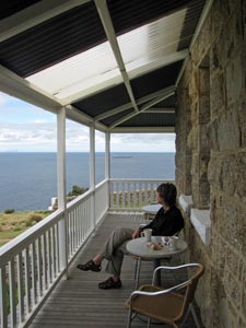 Ship-spotting from the cottage verandah |
|
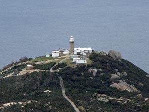
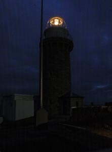
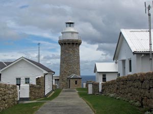 South-East Point Lighthouse (built 1859) |
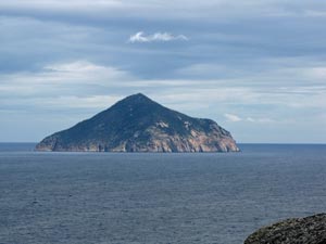 Rodondo Island (the closest Tasmania gets to the mainland) |
|
 View from the top of the lighthouse |
|
 One 12V 35W halogen globe - amazing! |
|
|
||
|
||
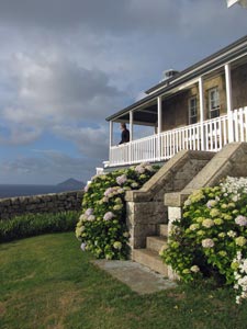 One last look from the cottage verandah |
|
|
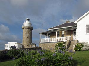 South-East Point lighthouse and keeper's cottage (built in 1859) |
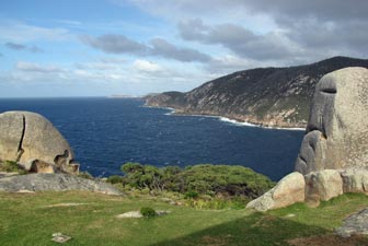 View from the lighthouse along the southern shore of the promontory |
|
|
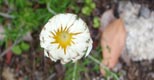
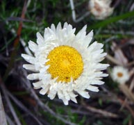
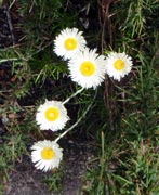
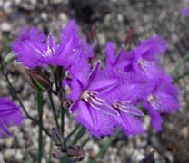
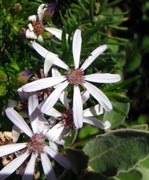
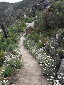 Daisy lined track up to the Prom heights |
||
 Looking towards South Peak and the track home |
 |
 |
|
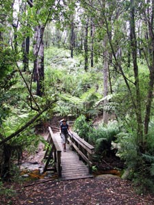 Crossing the bridge at Roaring Meg |
|
|
 |
 A lone Telegraph Pole marks the track across the heathlands |
|
 |
|
||||
 |
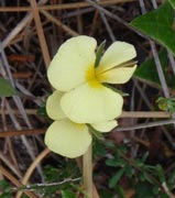 |
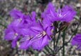
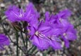
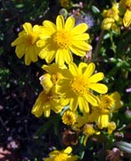
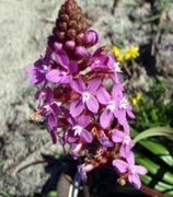
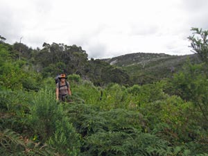
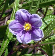
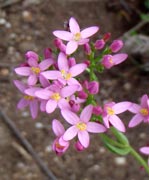
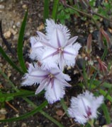
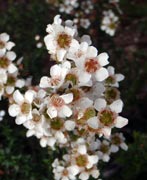
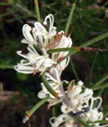
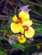
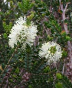
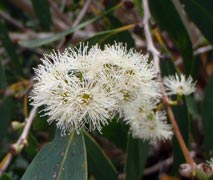
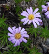
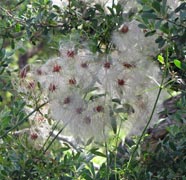
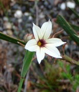
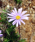
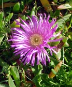
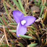 Heathland flora |
 |
 |
|
|
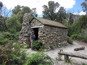 Halfway Hut |
||
 |
 |
 |
|
|
 Beneath an arbor of tea-trees on Deer Flats |
|||
 |
 |
 |
 |
|
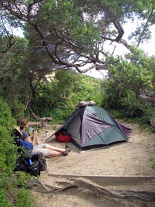 Relaxing at Oberon campsite |
|
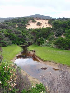 Fraser's Creek near the campsite |
|
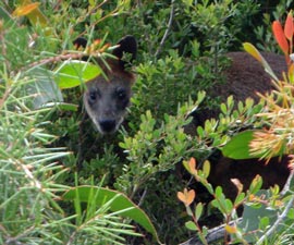
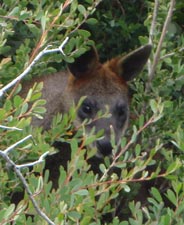
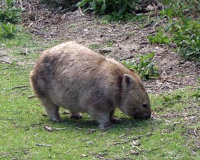 The wombat welcoming committee |
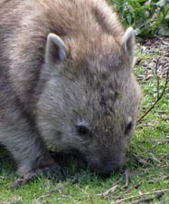 A portrait |
||
|
|||
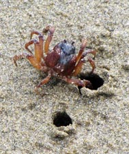 Sand crab about to enter its burrow |
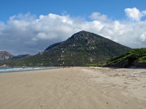
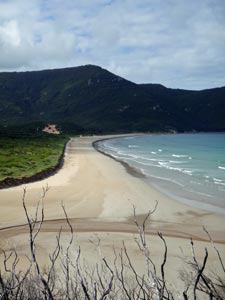
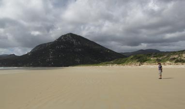 The long flat expanse of Oberon Beach |
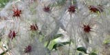
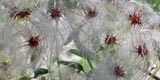
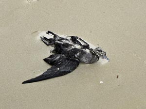 Even in death there is beauty |
|
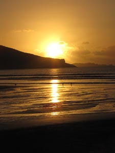 At last a sunset! |
|
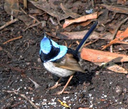
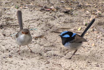 Part of the blue wren family |
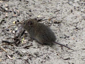 Native mouse on the lookout for food |
|
|
|
|
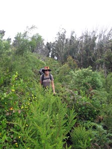
 Heading up Oberon Beach towards Mount Oberon |
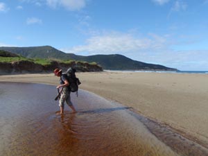 Crossing Growler Creek |
 |
 Lichen covered boulders at the northern end of Oberon Beach |
 View southward over Oberon Beach |
|
|
 |
 Norman Point and the rocky walls of Little Oberon Peak |
|
|
||
 Little Oberon Beach |
|
 The last leg - heading toward Norman Beach and Tidal River |
 Spot the black swamp wallaby |
 Looking out over Norman Bay |
 Come back again one day |
|
||