Mount Hotham Day Walks

The ski resort of Mount Hotham is one of the main access points to the alpine regions of Victoria. We decided to continue our exploration of the Australian high country by joining our good friend, Julie, and fellow members of our local bushwalking club for the Christmas-New Year period at one of the many lodges strung out along the ridgeline of Mount Hotham. The comfortable setting of our lodge was the base for a number of day walks of varying length to discover the different landscapes of mountain, plain and river valley that create the character of this region.

Over the next five days we did two longer walks interspersed with several shorter walks along winter ski trails through the snow gums, across high country plains and to a refreshing waterfall. We enjoyed the company of a convivial group of like-minded people and danced in the New Year at the local pub.


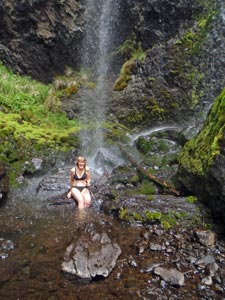
A cool shower beneath Chamberlain Falls


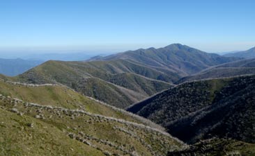
The Razorback Ridge leading to Mount Feathertop

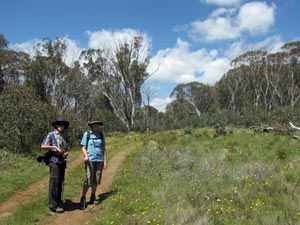
Track across a flat near Dinner Plain

For four days, the weather was superb, bordering on hot, and culminating in some spectacular mountain thunderstorms. As we drove back down the mountain in 10°C temperature and a thick fog, we appreciated our time even more. Special thanks are due to Barry, who organised this great week of walking and getting to know other club members.

These pages describe the two longer walks to give an idea of what Mount Hotham has to offer. Our first was a ridge walk to Mount Feathertop - the iconic walk or headline walk of the Hotham area - call it what you like, if you don't do this walk you will miss much of what Hotham is about. The second walk took us down into the taller forests and river valleys to discover some different landscapes. Read on to discover a little more of Australia's high country.


Mount Feathertop via The Razorback (22km - 720m ascent - 720m descent)

The sky was blue and the temperature balmy as we drove the few kilometres from Mount Hotham down to Diamantina Hut on the Great Alpine Road, the starting point for our walk to Feathertop. On the way down we could see the long ridgeline of The Razorback extending out towards the distant peak of Feathertop. Our appetites were whetted and, judging by the number of cars parked at Diamantina Hut when we arrived, so had been the appetites of many other walkers in Mount Hotham - oh well, it was the holidays.

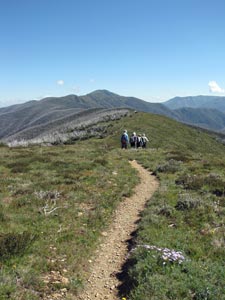
Setting off, the track descended briefly, before taking us up to the top of The Big Dipper, the first of many knobs along the ridgeline. From here the party split into the "Rob di Castella" group, who wanted to bolt for the peak and the "Harry Butler" group who preferred to smell the roses (or in this case the magnificent display of alpine wildflowers) as we wandered along the track. The fair Nello and I are well-known rose sniffers, lizard spotters and rock checkers, so we happily joined the second group.


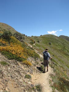
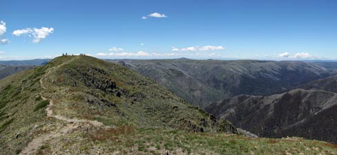
The group heading out towards The Big Dipper


View of Mount Buffalo from The Razorback


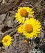
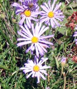
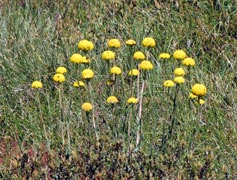
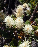
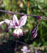
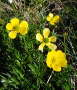
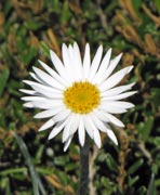
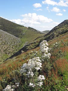
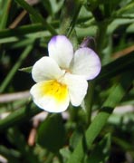
From the Big Dipper, the track led us down steeply to the next saddle, before wandering along the eastern slope of the next knob on the ridge. The open grassy verges of the track were speckled with the yellow, mauve and white of assorted daisies and billybuttons.

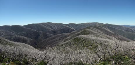
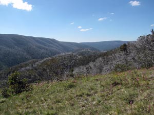
To the east lay the wide valley of Diamantina Creek, its slopes singed silver by the fires of 2003 rising steeply up to the rounded dome of Mt Loch and the ski-fields of Hotham. The destructive power of bushfires was very evident here, yet held a curious beauty. Rounding the knob, new views opened up to the west, silver-tipped ridges extending back to the long cloud topped silhouette of Mount Buffalo.


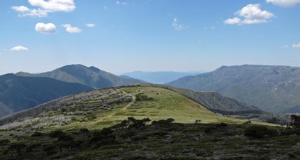
Heading to distant Feathertop


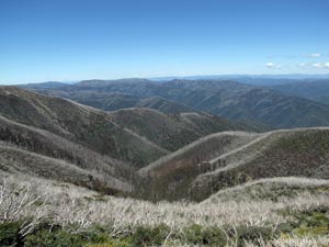
Aftermath of the 2003 fires - silver-singed slopes of dead trunks


Track through regenerating snow gums

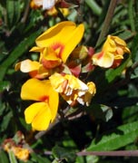
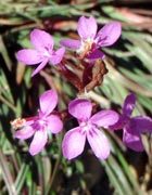
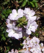
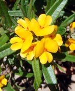
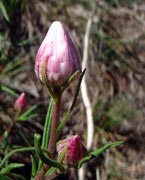
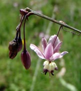
After a long and pleasant stroll through these open herb-fields, we entered an area of erstwhile snow-gum forest - the starkly white dead trunks surrounded by thickets of new growth as the trees recovered from the fires. Descending through the snowgums along a path lined with a dense shrubbery of orange pea flowers and clusters of pink trigger-flowers, we undulated across a long saddle to a low accompanying hum of insects, before climbing up and out of the snow-gum forest.


Crossing the low saddle of The Razorback


The edge was a good spot for a sit in the shade of new-growth thicket and enjoy the expansive views through the trees. Ahead, such shade would be at a premium.

Prompted by the march flies, we set off again to commence a series of short steep climbs and descents as we crossed a rugged and narrow section of the ridge known as Twin Knobs. The track sidled across steep slopes and led us through curious hollows, with an everchanging panorama of the high country either to the east or to the west across silver-fringed spurs to the mountains beyond. From Twin Knobs we undulated along the western slope of the ridgeline, looking out at Federation Hut perched on a grassy spur below us. The occasional glimpse of Feathertop, our goal, appeared to spur us on when the ridgeline dropped to meet the track.


Heading out towards Twin Kobs


Descent of the first knob


The track sidles across the slope

The second of Twin Knobs

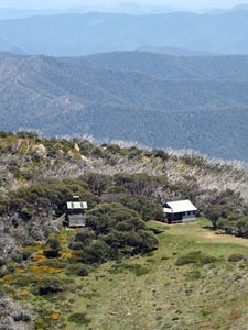
Federation Hut on the top of bungalow Spur

Our goal approaches - Feathertop revealed

Soon we arrived at the base of Little Feathertop, where a large unburnt snowgum at the junction of our track and the route leading down past Federation Hut to the Bungalow Spur gave us a shady spot to take on a bit of energy for the climb up the mountain. The steep-sided slopes of Feathertop lay ahead to the northwest, its summit only 1.5km away.


Yet more fire-silvered slopes to the west


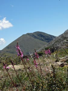
Wildflower meadow at the base of Feathertop

Getting into a steady climbing rhythm, we pushed on up the steep and rocky track through a grassy flower-speckled alpine meadow to cross the false peak and reach the summit of Victoria's second highest mountain. Our fast-moving group of bushwalking colleagues were just leaving, which gave us the peak to ourselves to enjoy lunch on its grassy crest under an almost cloudless sky.


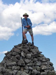
The Bushwalking Club summits Feathertop (1922m)


Jules on top of the world


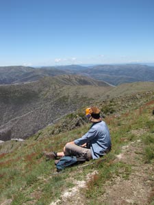
The fair Nello takes in the views from Feathertop

From its 1922m summit, we had a 360° panorama - east across the wide Kiewa Valley to the flat tops of the Bogong High Plain, south back along the long ridgeline of The Razorback that we had just crossed, westward across the long green valley of Harrietville to Mount Buffalo and northward to an unending series of fading blue ridgelines - magnificent.


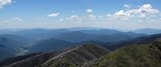
View to the north of the Harrietville Valley and the endless blue ridges


Looking east across the Kiewa Valley to the Bogong High Plains


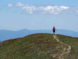
The long road home - a lone walker contemplates the view from Feathertop to The Razorback Ridge beyond

The day itself was passing and in the still air, even 24°C was feeling hot. It was time to descend and retrace our steps along The Razorback. Strange how the track had been lengthened by the heat on the return journey. Our way back was punctuated by passing many walkers on their way in to camp at Federation Hut - families, schoolkids, backpackers - all keen to spend a night in the mountains. The campground around the hut would be abuzz with at least 50 campers by our calculation and home to the lodge at Hotham seemed a good destination.


The end of the walk is in sight


Hotham sunset from the lodge balcony

By the time we reached the Big Dipper, it looked very big indeed, so we opted to take the low road around its eastern slope and cut out one last climb. The trackhead at Diamantina Hut was certainly a welcome sight - it had been a long tiring day, the almost continuous exposure to the mountain sun sapping our energy.

However, at the end of the day, after a long shower and a long cold beer, as we sat on our lodge balcony and watched the sun set golden-bronze above the dark blue ridges, we all agreed that it had been an exhilerating introduction to the Victorian high country. Thanks to Geoff, Linda, Julie, Emily, Mike, Louise and Stan for sharing this walk with us.


Cobungra Gap Loop (20.5km - 940m ascent - 940m descent)


It was already quite warm when our group of 11 walkers set out from the Mount Loch carpark to follow the line of snow poles eastward across the grassy ridge that formed the boundary of Mt Hotham ski-fields.

These snow poles defined the winter cross country ski route between Hotham and the neighbouring resort of Falls Creek, an adventure that would be worth doing one day, itself. They led us along a stony road up and over the knobs of Machinery Spur, with views to the south over the long-line of lodges of Mount Hotham and to the north over the Razorback and the iconic Feathertop - seeing the route of our walk out along this ridgeline two days earlier was quite impressive.


The group sets out across the Hotham ski fields


Looking across Diamantina Creek to The Razorback and Feathertop

After a few kilometres, the pole lines led us southward away from the road to cross a broad saddle covered in low heath, with its clusters of flowering shrubs and herbs. The wildflowers at this time of the year are superb. We soon reached an area of unburnt open snow-gums, which sheltered Derrick's Hut. The hut was built as a memorial to a skier who perished in a blizzard on this crossing - it was a good reminder of the forces of nature in this part of the world and a good place to have our first break and admire the ancient gnarled snow gums that surround the hut.


Arriving at Derrick's Hut

One of the gnarled old snow gums near the hut

Two of the party had only planned to accompany us this far, leaving a group of nine to push on eastward through fields of billy buttons and daisies across the flattish top of Swindler's Spur. The track then descended through a corridor of rose-pink trigger flowers beneath the starkly open canopy of regenerating snow gums, before climbing up and over the hump at the end of the spur.


Descending Swindler's Spur

A carpet of trigger plants

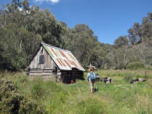
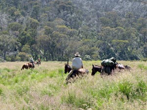
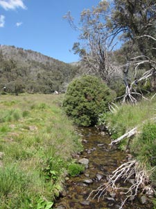
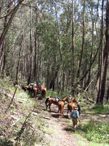
The forest was becoming taller, though the impact of the 2003 fires was becoming more evident. From the hump, the descent into the Cobungra Valley began in earnest, 300m down a steep and narrow track to reach a grassy flat on the headwaters of the Cobungra River. The historic Dibbin Hut lay around the corner, its thick grassy setting nestled into the tree-clad slopes - a small piece of pristine landscape spared by the fire. As we sat in the shade, enjoying the surrounds, a group of horse-trekkers arrived, tied up their animals to graze on the lush green grass, lit up their rollies and joined us for a pleasant chat, before heading on. They had come down from the Bogong High Plain, the spirit of the Man from Snowy River embodied.


Looking down the Cobungra River Valley from Swindler's Spur


The tranquil setting of Dibbin Hut

Our horse-trekking friends head off again

Three more of our party decided to return from Dibbin Hut leaving six of us, Chris, Cynthia, Kim, Ralph, the fair Nello and myself to complete the loop. We headed off across the flats, crossed the small wooden bridge over the Cobungra River and climbed the saddle behind it to reach Cobungra Gap. Here we stood on the Continental Divide - the Cobungra flowing southward while the Kiewa River commenced on the other side to flow northwards into the Murray.

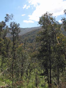
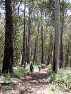
For a while we would share the same path as the river and we parted company with the snow poles, which climbed eastward up to the Bogong High Plain. The forest in the headwaters of the Kiewa was superb and we found ourselves walking high up the valley beneath a canopy of tall mountain ash untouched by fire, accompanied by the sounds of the forest birds above and the occasional fresh horse bun underfoot (thanks Snowy River folks!).


Headwaters of the Cobungra River

Mountain ash forest in the Upper Kiewa Valley

We cross paths with the Snowy River folk again

In the shade of the tall mountain ash


Time for one last rest in the shade ...

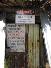
The foot track slowly broadened into a narrow 4WD road, before reaching the Red Robin Battery, a small private enclave in the National Park and one-man gold-mining operation. Rumour had it that the owner shoots first and asks questions later, so we gave it a wide berth to reach the bottom of a long spur and the old West Kiewa Logging Trail. It was our route back up the 650m to the top of the mountains at Hotham and a long 4km slog lay ahead.

We set out and soon entered fire-damaged areas - tall silvered trunks and no canopy. The road wound up the northern face of the spur in the leeward side of the range and the temperatures were touching the 30°C mark as we trudged upwards, bodies slowly becoming soaked in perspiration and minds slowly wandering to other things in the monotony of the climb. Three quarters way up we could see the need for a bit of energy and lunch was called beneath one of the rare bits of shade. It was fascinating how the odd tree or patch seemed to have survived the widespread destruction of the fire here. As Cynthia commented, we looked like cows huddled into the shade of a one-tree paddock.

Still, there was no time to sit and chew our cud - pushing on, we passed the entrance and sluice of the Red Robin Mine itself, to reach the crest of Machinery Spur via a series of steep zigzags. The slight movement of air on the ridgline was most welcome, as was the occasional cloud that passed above to give us a bit of shade.


... before the long climb in the sun


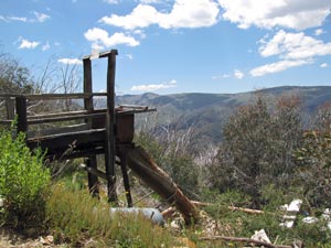
Sluice of the Red Robin Mine

The not so friendly mine entrance

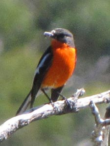
Red robin guarding his miine


Time for a break at the end of the climb


View from Red Robin Saddle of our route out of the Kiewa River valley

The climb was not quite over and we pushed up from Red Robin Saddle (Bushfly Saddle may have been a more appropriate name), climbing gradually southward up Machinery Spur to reach the rounded heights of Mount Loch, with its flat windswept vegetation.


The herringbones of Diamantina Creek


Cloud play on Machinery Spur (view north from Mt Loch)


From here we made a quick detour to the trig on top of Mount Loch, at 1887m, Victoria's fifth highest mountain. Almost thirty years ago I had skied up here in winter and it was a strange feeling to revisit it after so many years - the views over Feathertop, the Bogong High Plain and out to Mount Buffalo were as magnificent as I remembered, though not quite the same shade of white.


The road home - heading back to Hotham


Flashback to my first ascent
of Mt Loch in winter 1982 ....

... it only took 27 years to
climb it again

Mount Buffalo in shades of blue

From Mount Loch it was almost all downhill - we completed the loop as we passed the turn off to Derrick Hut and retraced our outward steps across the rim of Hotham ski-field. It had been a tough walk in this unusual alpine heat, but it was well worthwhile, passing through the very different habitats of alpine herb-field, stunted snow-gum forest, deep river valley, grassy flats, tall mountain ash forest and high ridgeline; a compendium of high country landscapes. Thanks to our convivial companions for sharing it with us.


Yet another glorious Hotham sunset