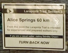
| Stage 1 - Alice Springs to Standley Chasm |
|
|
||
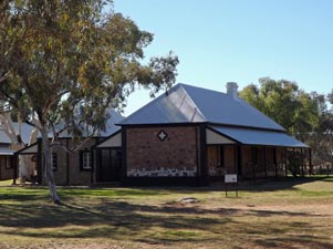 The Old Telegraph Station at Alice Springs |
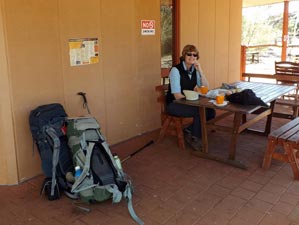 Time for one last brewed coffee ..... |
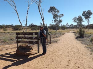 .... and then off on the trail |
|
||
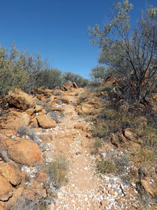
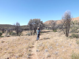
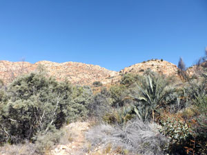
 Crossing the Finke River flats |
|
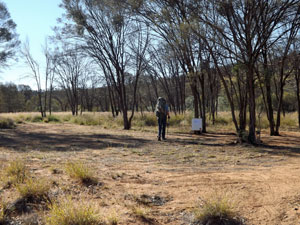
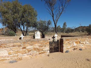 A lonely outback cemetery |
|
|
|
 Sandy bed of the Charles River |
 |
 The new highway bridge over the Charles River |
|
||
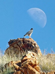
 Looking out across the railway |
 A last view across the grasslands towards Alice Springs |
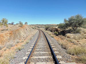 The Ghan railway line |
|
|
|
|
|||
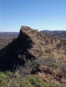
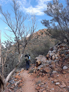
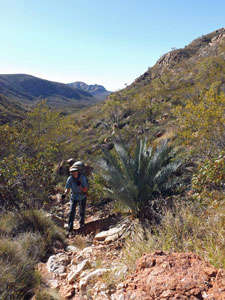
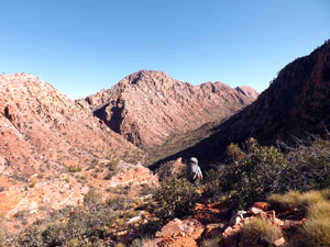
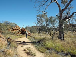
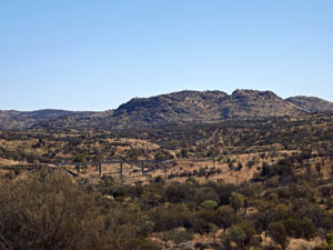
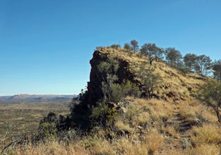
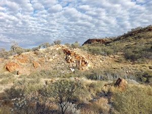
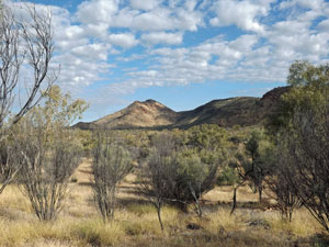
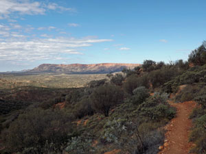
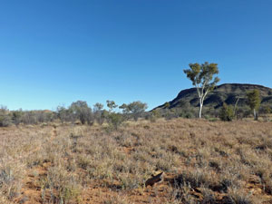
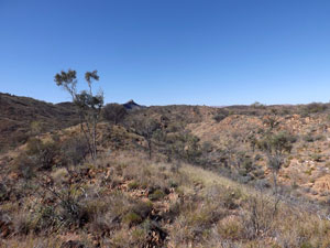
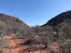
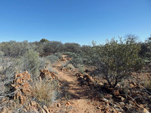
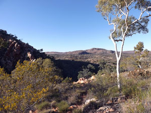
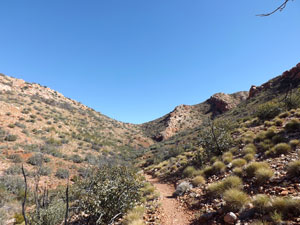
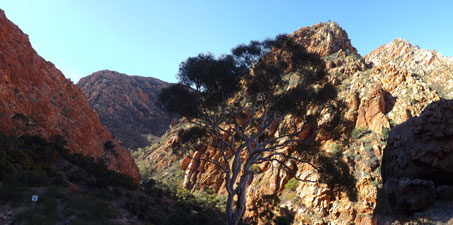
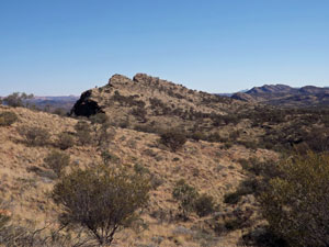 Approaching Euro Ridge |
 |
 |
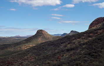
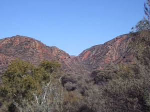
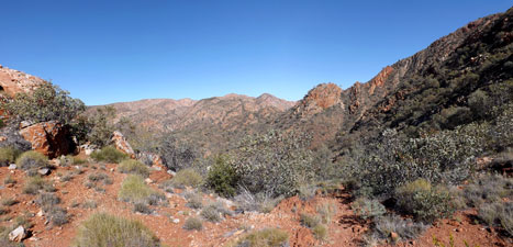
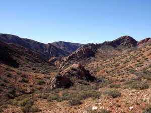
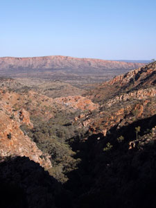
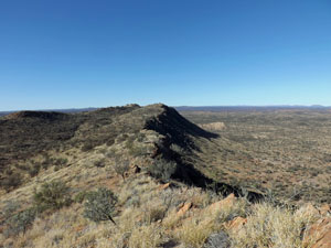 View back east from Euro Ridge |
|
|
||
 |
 |
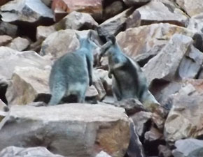
 Spot the fair Nello climbing to the high point |
|
|
|||
 |
 |
 Late evening stroll up Wallaby Gap |
|
|
  |
|
|
||
 Cloud dappled sky at Wallaby Gap |
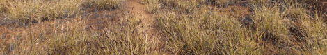
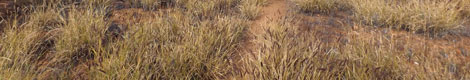
 Buffel grass infestation at Bloodwood Flats |
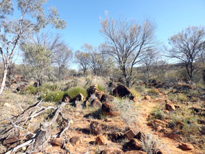
 Mulga woodlands |
|
|
|
|
||
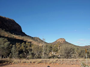
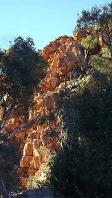
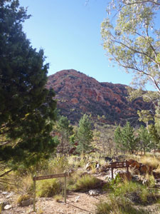
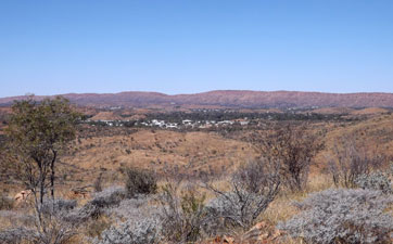
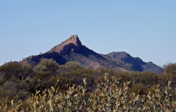
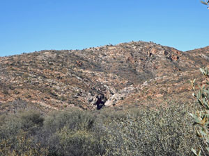
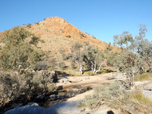
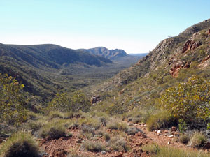
 Hat Hill and the lower slopes of Rungutjurba |
 |
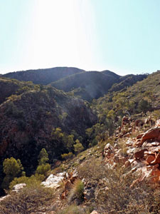
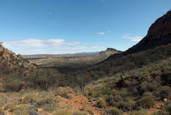
 Looking out over the shadowy plains |
|
||
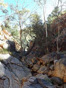
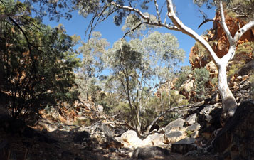
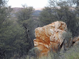 Fallen boulder on the side of Rungutjurba Ridge |
 |
 View west from Hat Hill Saddle |
|
|
||
 |
 |
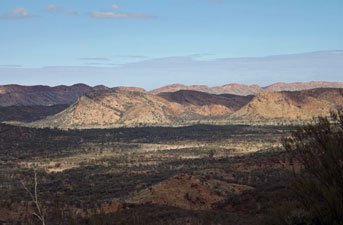
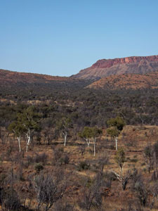
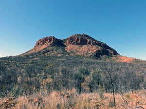
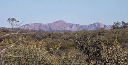
 The Heavitree Range - from Hat Hill |
|
|
|
|
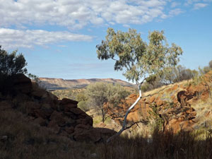
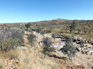
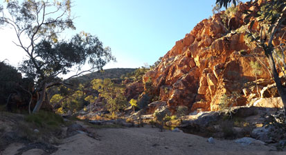
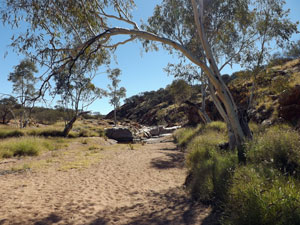
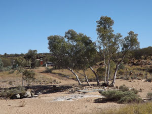
 Sandy bed of Roes Creek |
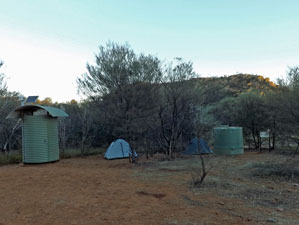
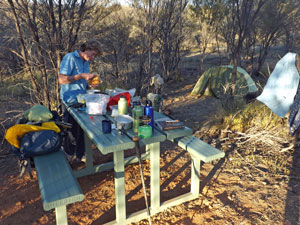
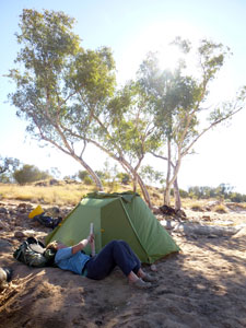
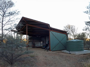 The brand new shelter at Simpsons Gap campsite |
|
|
||
 |
|
 |
|
|
 |
|
 |
 A last glimpse back to Simpsons Gap |
 Former grazing lands west of Simpsons Gap |
 View across the ghost gums to Arenge Bluff |
|
||
|
||
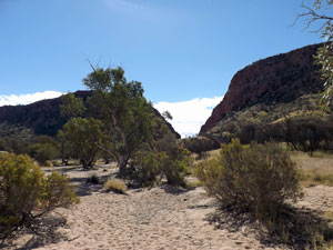
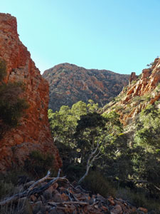
 Heading towards the cleft of Bond Gap |
 |
 Lush woodland at the entry to Bond Gap |
|
||||
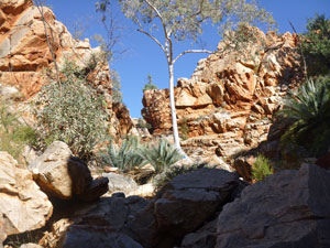
 Bond Gap in red and green |
 |
 |
 |
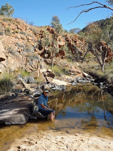 Nello soaks her feet near Bond Gap |
|
||||
 Low hills south of the ridge |
 View back to the western Rungutjurba Ridge |
 Looking across the mulga to the west face of Arenge Bluff |
|
|
|
|
|
|
|
  |
|
|
|
|
|
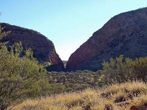
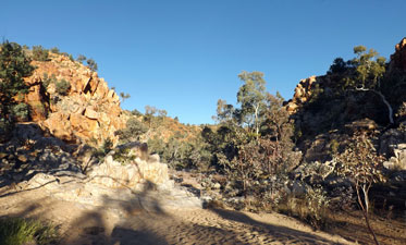
 Southern approach to Spring Gap |
 Spring Gap n the morning shade |
|
|
|
||
 |
 |
 |
|
|
||
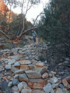
 Crossing the low rocky ridges |
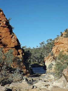
 The northern entry to Spring Gap |
 Track across the northern scrublands |
|
|
 View west towards the Chewings Range |
 North of the MacDonnells - heading towards Fishing Gap |
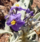
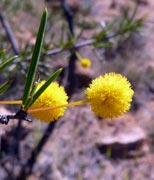
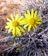
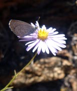
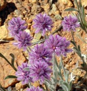
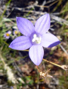
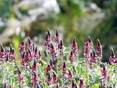
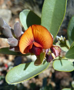
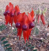
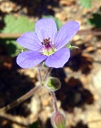
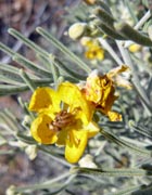
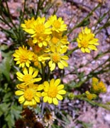
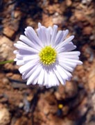
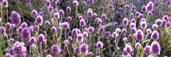
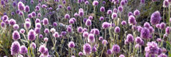
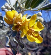
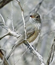
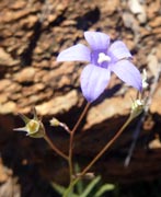
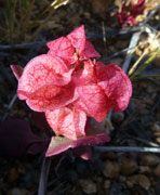
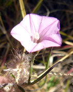
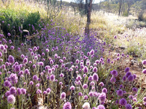
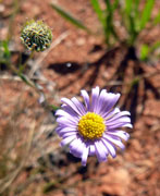
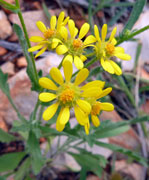
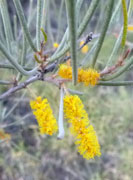
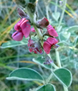
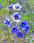
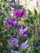
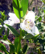
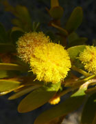
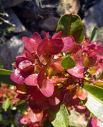
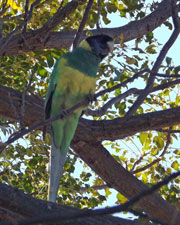
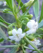
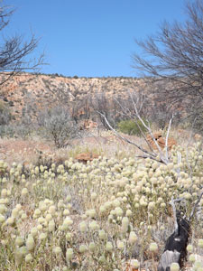 A clump of creamy native wildflowers |
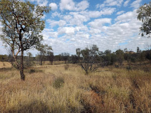
 Crossing the native grassland flats |
 Arriving at Jay Creek campsite |
|
||
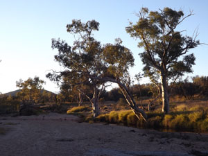
 The hills around Jay Creek |
|
|
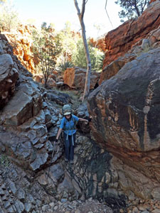
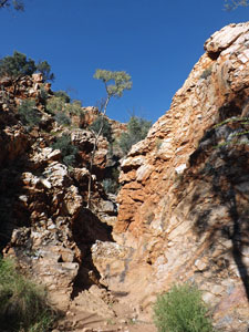
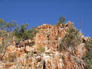 The red rock walls of the gap |
|
|||
|
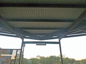 The geometry of a modern track shelter |
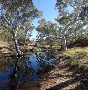
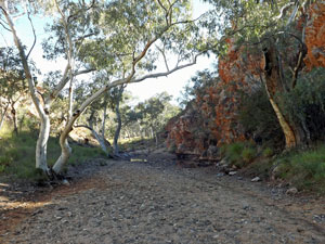
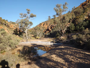 Waterhole and creek bed at Jay Creek |
|
||
 |
 |
|
|
||
  |
|
|
|
|
||
 |
 |
 Fishing Hole from the south |
|
|
|||
 |
 |
 View south from the top of the Fishing Hole camel track |
|
|
|
|
 Looking towards the "Low Route" through the Chewings Range |
 View back to the east from Tangantyere Junction |
|
|
|
|
|
 |
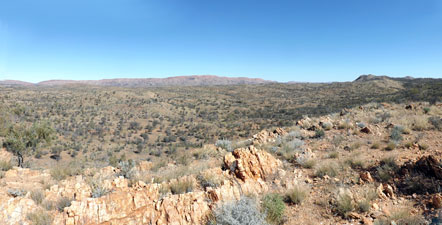
 Panorama of the catchment of Cycad Creek |
|
|
|
|
|
|
|
|
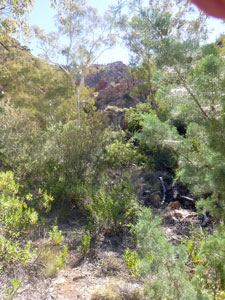
 The route up the gorge of Cycad Creek |
 A wider opening in the Cycad Creek valley ...... |
|
|
|
|
 Looking up to Gastrolobium Saddle |
 View back towards Cycad Creek from Gastrolobium Saddle |
|
|
|
|
|
||
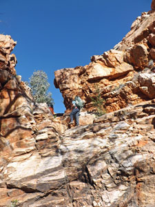
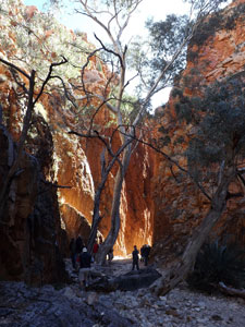
 Climbing the western rim of Standley Chasm |
 |
 Afternoon sun lighting up the walls of Standley Chasm |
|
||
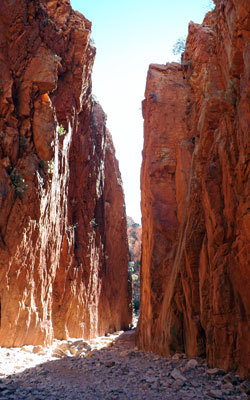
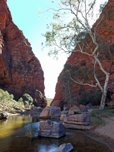
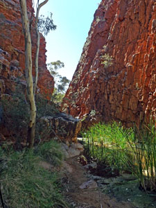
 The rugged red beauty of Standley Chasm |
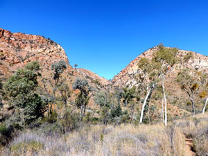
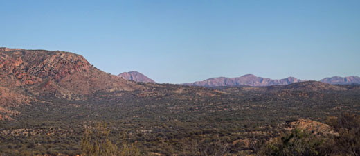
 View south to the Heavitree Range |
 Descending the stone steps to the chasm floor |
|
||
 In the lower part of Standley Chasm |
 |
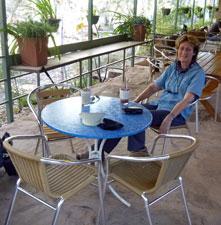 Time for a drink at the kiosk |
|
|
|
 |
 |
|
|
||
|