| Ngaro Sea Trail (Whitsunday Islands) |
About |
|
Airlie Beach to Nara Inlet (27 km) |
|
|
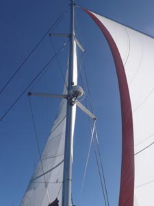
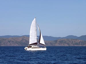
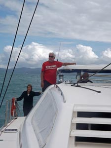
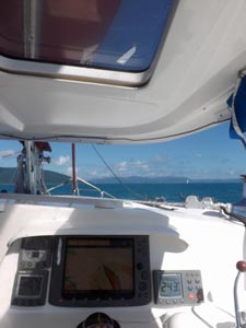
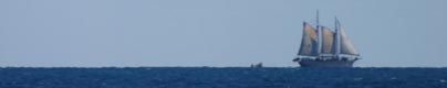
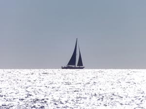
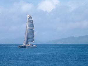
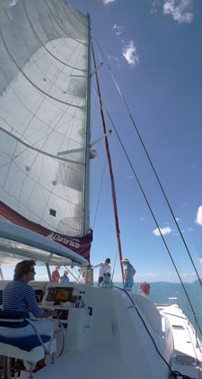 Heading out under sail |
|
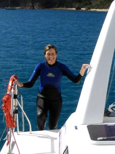
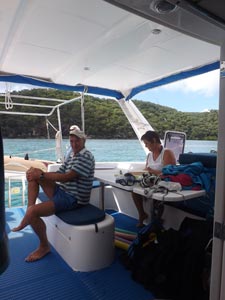
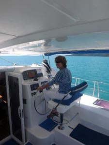 Nello takes the helm |
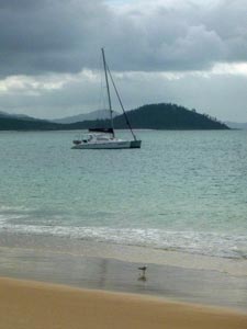
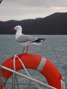
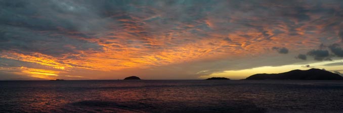
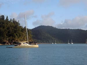
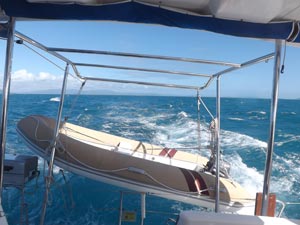
 Leaving Airlie Beach |
|
|
|
|
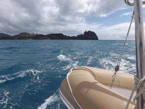
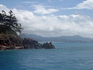
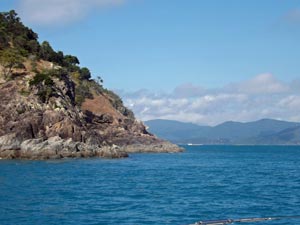
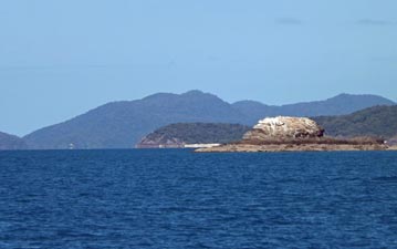 Passing Pioneer Rocks |
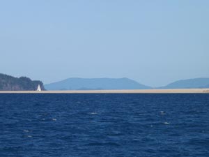
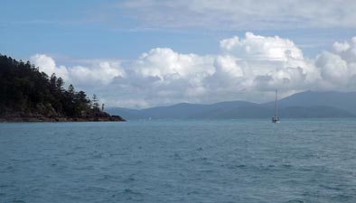
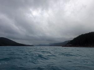
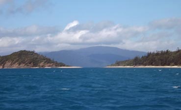
 Leaving the mainland behind |
|
|
|
|
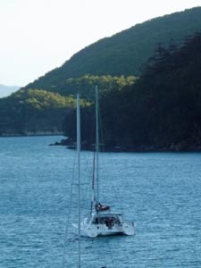
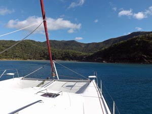
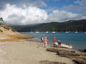
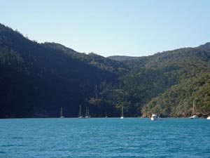 Anchorage in Nara Inlet |
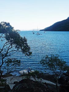
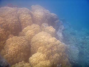
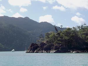
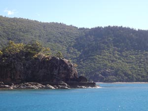
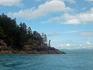
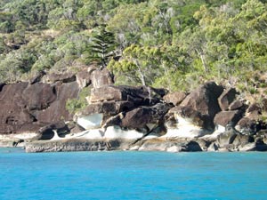 The rocky shoreline of Nara |
|
|
|
|
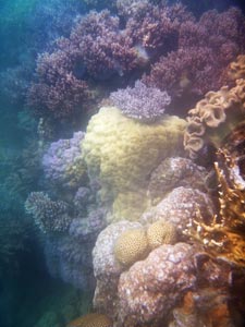
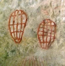 Ngaro rock art (fishing baskets) |
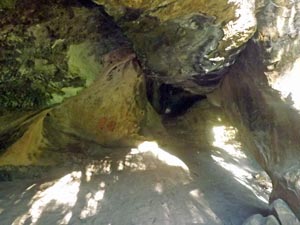 Ngaro rock shelter |
|
|
  |
Nara Inlet to Stonehaven Bay (38 km) |
|
|
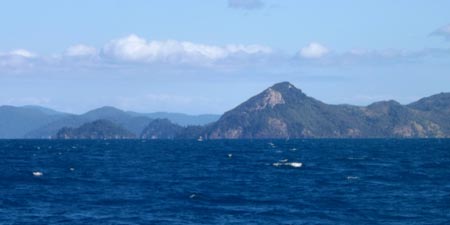
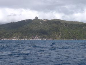
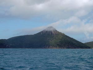
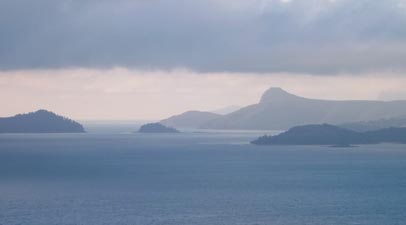
 Whitsunday Peak behind the point of False Nara Inlet |
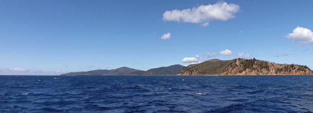
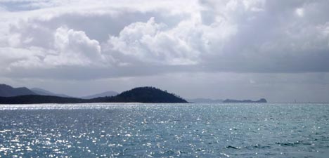
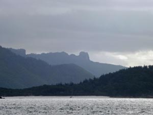
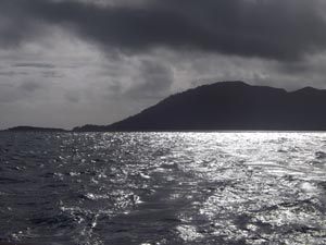
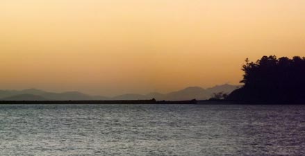
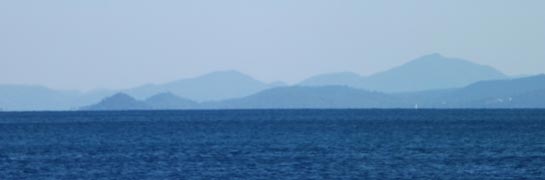 The blue haze of the distant mainland |
|
||
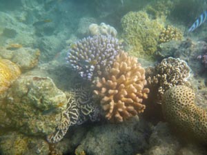
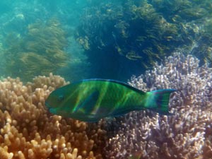
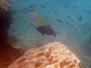
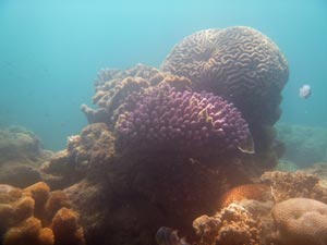
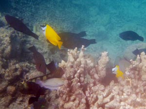
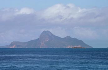
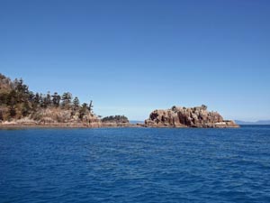 Castle Rock |
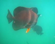 The batfish arrive to greet us |
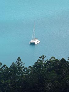
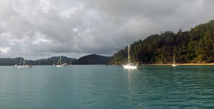
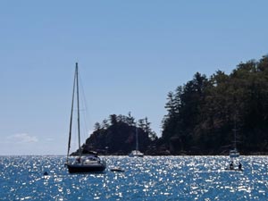 At anchor in Blue Pearl Bay |
|
||
|
|
|
|
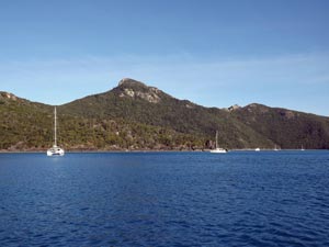 Stonehaven Anchorage below Hook Peak |
 |
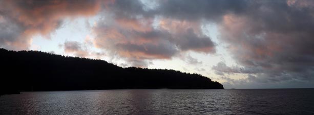
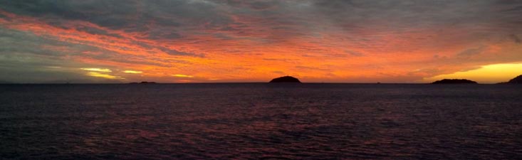
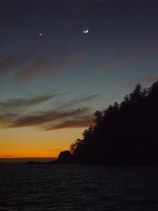
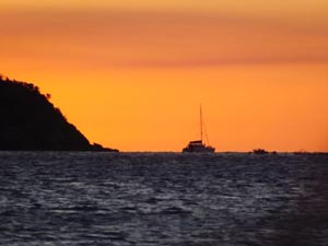 Hook Island sunset |
|
||
 |
Stonehaven Beach to Butterfly Bay (22 km) |
|
|
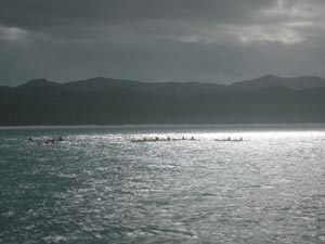
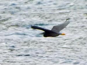
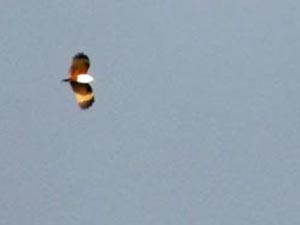 Brahminy kite flying high |
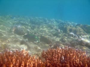
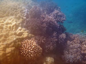
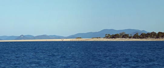 Langford Island sandspit - dive spot no. 2 |
|
||
 On the sand spit (weird effect due to fogged up camera lens) |
|
 The beach on Langford Island (lens still foggy) |
|
|
|
|
 Pulling in to Butterfly Bay |
 The rocky point dividing the two wings of Butterfly Bay |
|
|
|
|
Butterfly Bay to TongueBay (55 km) |
|
|
||
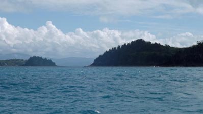
 Leaving Hook Island behind |
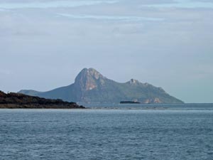
 The rocky tor of Whitsunday Cairn |
 The east coast of Whitsunday Island |
|
|
|
|
 View back towards Whitsunday Cairn from Whitehaven |
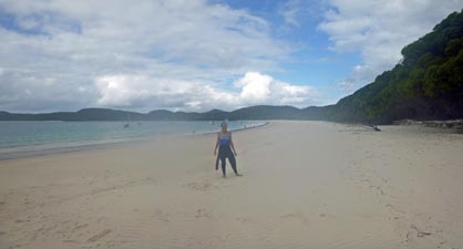
 Arriving at Whitehaven Beach |
|
|
|
 A wet-suited Nello having just swum from catamaran to beach |
 Whitehaven Beach beneath a cloudy sky |
|
 |
|
|
|
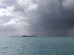 The rain arrives |
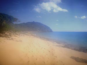
 Sandy cove on Esk Island |
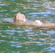
 A passing turtle (photo: R. Watkinson) |
|
 |
Tongue Bay to Cid Harbour (47 km) |
|
 What you see when you get up early |
 Yachts in Tongue Bay |
 The zodiac lands at Tongue Point |
|
||
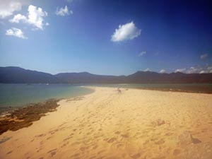
 The sands of Whitehaven Beach |
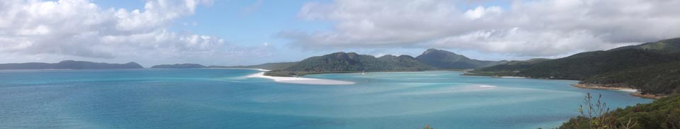
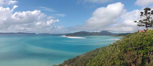 Panorama from Tongue Point over Hill Inlet |
|
|
 Catamaran approaching Solway Passage |
 Pentecost Island rises from the sea |
 Passing the southern point of Whitsunday Island |
|
||
 The conical peak on Hayman Island |
 Approaching Fitzalan Passage |
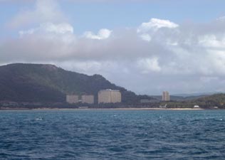 Hamilton Island resort (for those who like high rises) |
|
|
|
 Grim weather ahead in Hunt Channel |
 Leaving the good weather behind |
|
|
|
|
|
 Sunshine and cloud in Cid Harbour |
 |
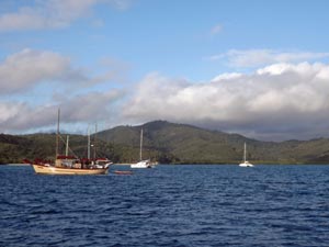
 Sawmill Bay anchorage |
|
|
|
|
||
 The sun finally returns ..... |
 ... to set golden on the horizon .... |
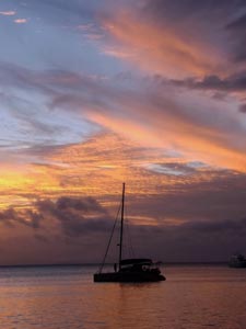 .... and paint the sky pink |
|
 |
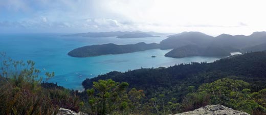
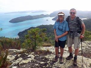
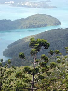
Climbing Whitsunday Peak (5 km - 440m ascent - 440m descent) |
|
|
 |
 |
|
|
|
||||
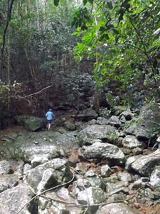 Crossing a boulder-strewn creek bed |
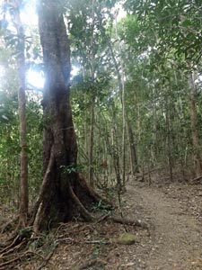
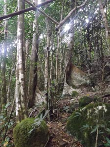
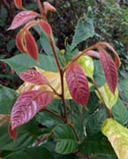
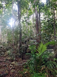 Forest of the slopes |
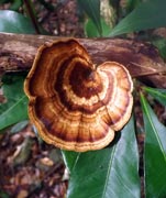
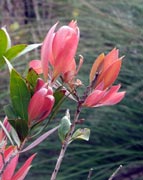
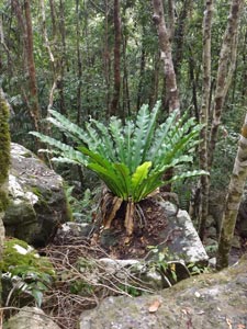 A big bird's nest fern |
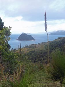
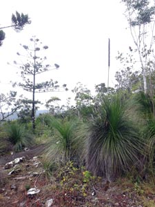 Grass trees of the mountain tops |
|
||||
 |
 |
 |
 |
 |
|
|
|
|
|
Cid Harbour to Stonehaven Bay- return to Blue Pearl Bay (37 km) |
|
|||
 |
 |
 |
 |
|
|
|
|
|
|
|
|
Stonehaven Bay to South Molle Island (47 km) |
|
 A strange light in the morning |
 |
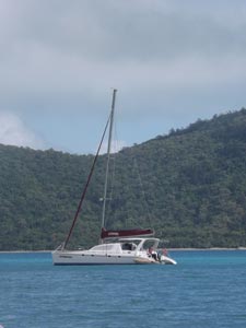
 On a broad reach across the channel |
|
|
|
|
 Heading across the channel towards South Molle Island |
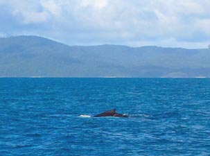 A humpback whale passes us by (photo: R. Watkinson) |
|
|
|
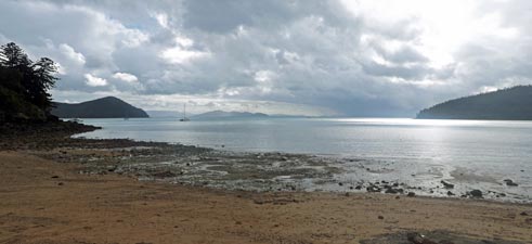
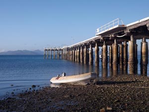 Tide's out at South Molle jetty |
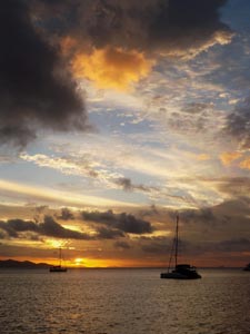
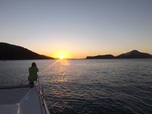 Odile photographs the setting sun |
|
|
||
 |
 Yet another variation on the setting sun |
|
|
||
|
South Molle Island to Airlie Beach (19 km) |
|
||
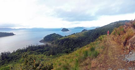
 A nice even path up to the saddle |
 View across the saddle |
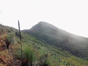 Looking towards the peak near Spion Kop |
|
|
|
|
 |
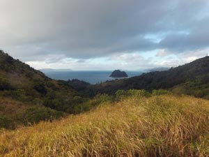
 View from the eastern side of the ridge |
|
|
|
|
|
||
 The rugged slope of Spion Kop |
 |
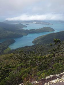
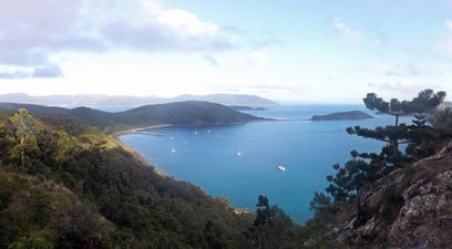
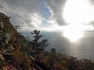
 View across Whitsunday Channel from Spion Kop |
|
||
 The mainland - viewed through Unsafe Passage |
 The northern end of North Molle Island |
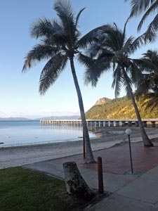
 Back home to Airlie Beach |
|
|