| The Canberra Centenary Trail (Northern Section) |
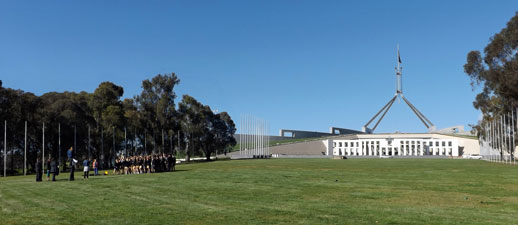
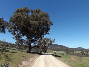
Day 1 - Parliament House to Mt Majura (16 km - 590m ascent - 500m descent) |
|
|
|
|
|
|
|
||
|
|
|
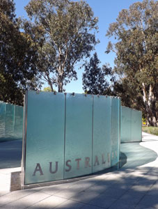
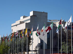
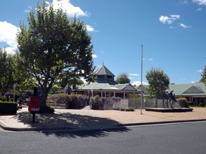
 Passageway to Commonwealth Place |
 The cuboid geometry of the High Court |
|
|
|
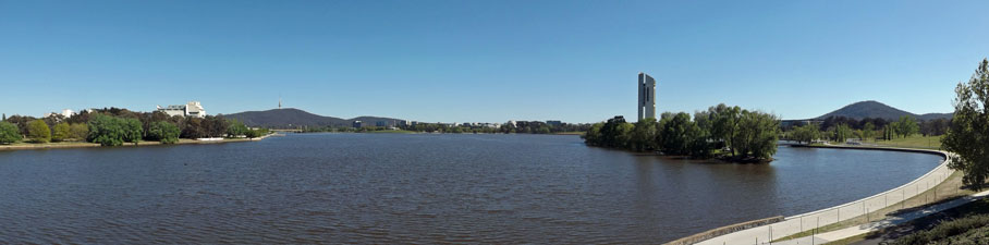
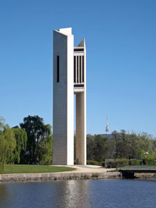
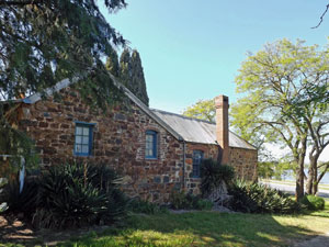
A ramp led me off the bridge to follow the northern shore of the lake, passed the iconic carillon. I was fortunate enough that one of the carillonists was practicing as I passed - the sound of bells gently pealing their notes across the lake is particularly soothing. Soon after, Blundell's Cottage came into view. Built in 1858, it is one of the few remnants of Canberra's pre-capital history (the fair Nello is another - her ancestors arrived in the 1830s).
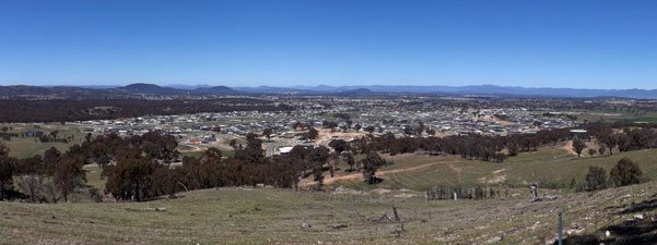
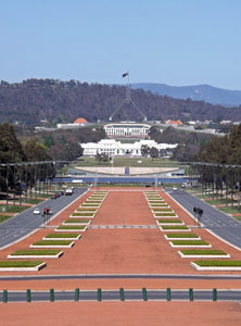
At this point the route headed northwards away from the lake, passing the ASIO building, home of the nation's spies. Not yet complete behind its barbed wire fencing, it still generates an air of paranoia. I'm sure that the security cameras were following my progress as I hurried on towards Anzac Parade. This long boulevard, in geometric red and green, directs one's gaze to the Australian War Memorial, which every April 25 becomes the soul of the city. The verges of this boulevard are home to a number of monuments to the diverse units and groups that served in war, some classically heroic, others movingly abstract. It is another part that should not be rushed by. Mid-way down, I detoured into the suburb of Campbell for a cup of coffee with my daughter and grand-daughters. She was not convinced that setting up a coffee shop for Centenary Trail walkers would be a nice little earner, so anyone else will have to push on to the War Memorial Cafe for their cuppa. |
|
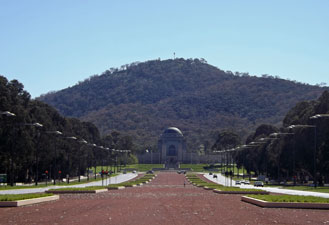 View towards the War Memorial beneath Mt Ainslie |
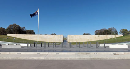
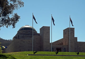 The Australian National War Memorial |
 The geometry of Anzac Parade |
|
||
|
||
|
|
|
 |
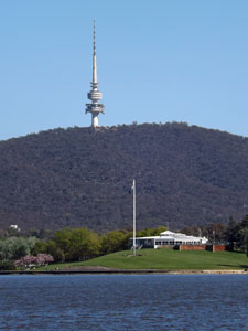
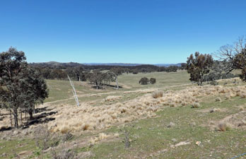
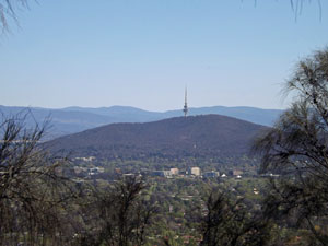
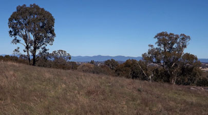
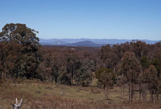
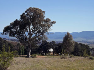
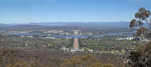 Classic view from Mt Ainslie overlooking the lake and the parliamentary axes |
|
|
|||
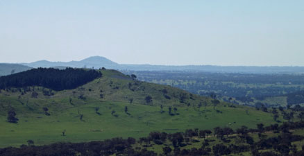
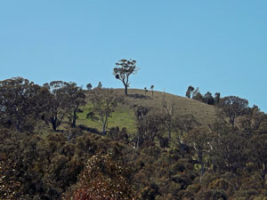
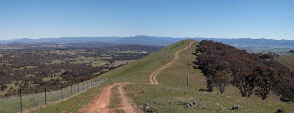
 Mt Majura from the Ainslie-Majura saddle |
 |
 |
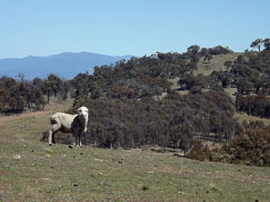
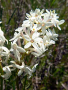
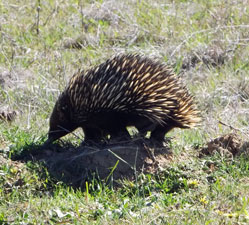
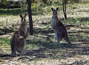 The curiosity of kangaroos |
|
||
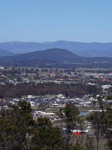
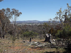
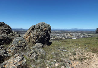
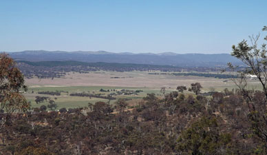 View from the slopes of Majura towards Canberra Airport and beyond ..... |
 |
 ..... and towards the city and Black Mountain |
|
|||
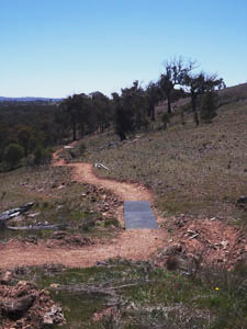
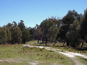
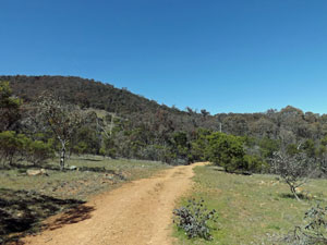
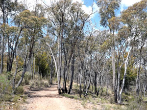
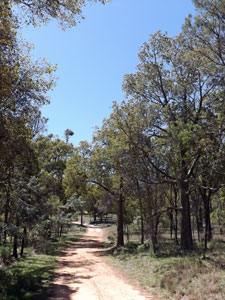 Track up to Mt Majura |
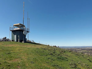
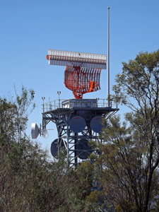 The airport radar station |
 Over the kurrajongs to Mt Ainslie |
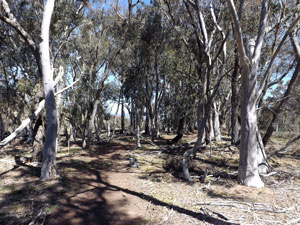
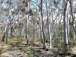
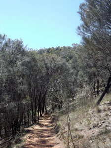 Descent through a grove of casuarinas |
|
  |
Day 2 - Mt Majura to Mulligan's Flat (14.5 km - 230m ascent - 270m descent) |
|
|
 |
 |
 |
|
|
||||
|
||
 Looking back at Mt Majura |
 |
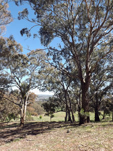
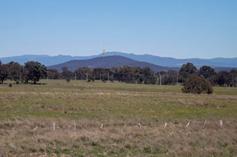
 View to the north west |
|
||
 Rural landscape near the Federal Highway |
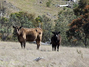
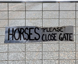 Canberra horses are very dexterous (and seem to be able to read) |
 An isolated ruin near the Federal Highway |
|
||
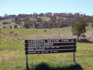 Entry to Goorooyaroo |
 The road across Goorooyaroo |
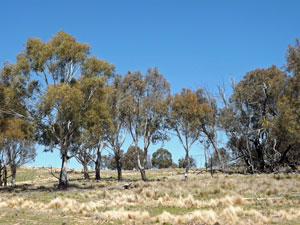
 Old eucalypts and regenerating casuarinas |
|
|
||
 |
 |
 Old Joe Hill |
|
|
||
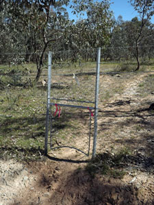
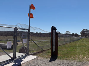 Feral-proof fence at Mulligan's Flat |
 |
 Mulligan's Flat grasslands |
|
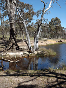
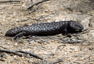
My wildlife count, however, remained one bounding kangaroo and a slow-moving shingleback lizard, as I followed the old Coach Road and then a more central road across the grassy woodlands and past a series of newly created waterholes. Passing the old woolshed and now ranger depot, I arrived at the western line of this 11½ km fence and left the reserve via the Woodland Gate.
|
|
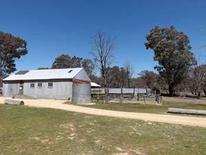 Mulligan's flat shearing shed |
|
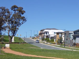 The modern suburbia of Gungahlin |
|
  |
Day 3 - Mulligan's Flat to Gold Creek Village (22.5 km - 490m ascent - 530m descent) |
|
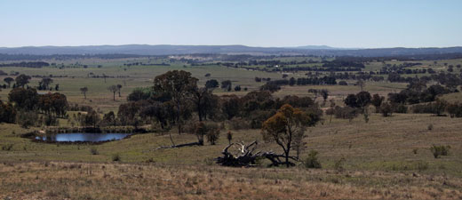
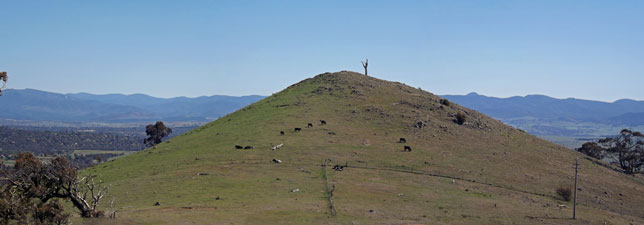
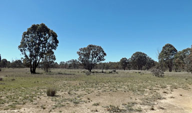
 The grassy slopes of Mulligan's Flat Sanctuary |
 |
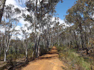
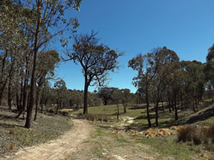
 Track up through Mulligan's Flat
|
|
||
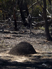  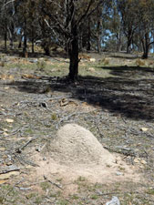 Different shades of termite nests |
 |
|
|
||
|
 |
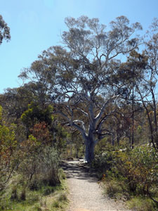
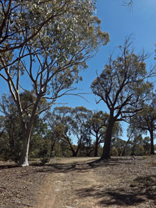
 Stringybark forest on the territory side of the border |
|
|
|
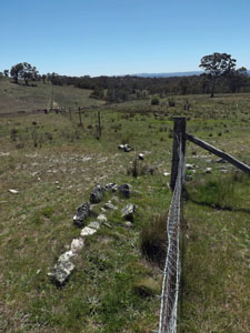
 Rock formations on the border ridge |
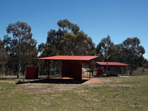 The new Northern Borders campsite below Oakey Hill |
|
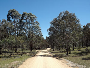
 The track follows a gully into the forest |
 |
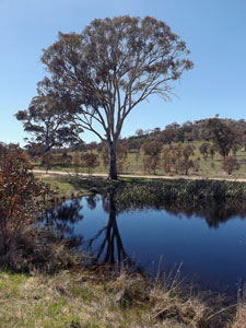
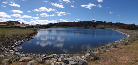
 Dam near the campsite |
|
|||
 |
 |
 |
 |
| Four different types of forest in the new section of trail between Oakey Hill and One Tree Hill | ||
|
||
|
|
|
|
|
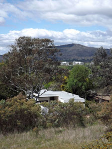
 The city re-emerges beyond the paddocks |
 View across the paddocks to One Tree Hill |
|
||
 Wombat runs spreading out from a hole in the fence |
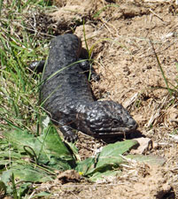 Shingleback on the move |
 The One Tree Hill fire tower |
|
|
|
|
 |
 Track leading down from One Tree Hill |
|
|
|
|
||
 So, who's walking through our paddock? |
 |
 The historic church at Hall |
|
||
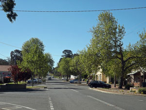 Main street of Hall village |
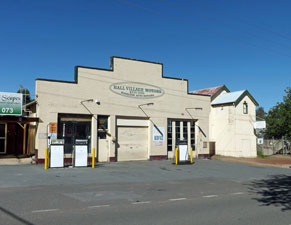 Classic old buildings in Hall village, so different from ... |
 ... the modern tourist of Federation Square |
|
  |
Day 4 - Gold Creek Village to O'Connor (14.5 km - 120m ascent - 120m descent) |
|
 A pondage in the suburb of Nicholls |
|
|
|
||
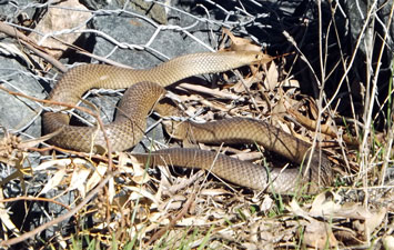 The eastern brown snake - a not uncommon resident of the urban fringe |
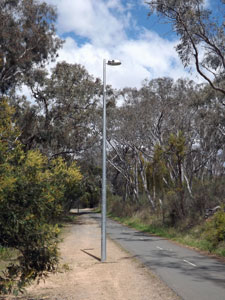
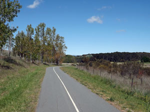 Today's walk is mainly on Canberra's bike paths |
|
|
||
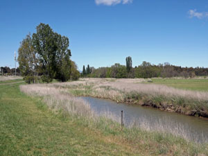 The grassy verge of Ginninderra Creek |
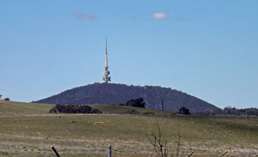 Looking across the open fields to Black Mountain Tower |
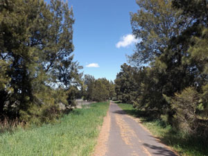 A casuarina-lined section of bike path |
|
||
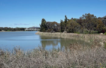 A reed-lined reach of Lake Ginninderra |
 |
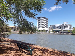
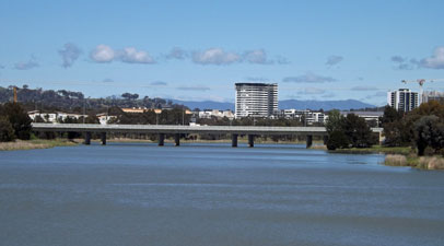 Looking down Lake Ginninderra toward the Belconnen town centre |
 |
 |
 |
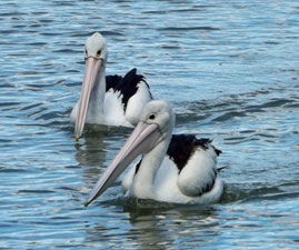 |
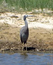
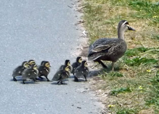
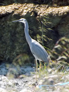
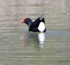
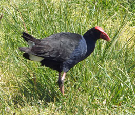
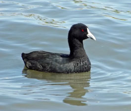
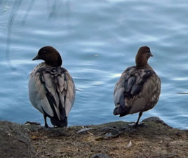
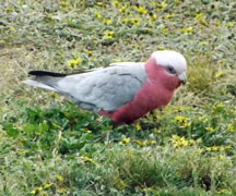
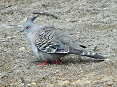
| Waterbirds of Lake Ginninderra | |||
|
|
|
 Looking across the lake to Emu Bank |
 A suburban footpath in Bruce |
|
|
||
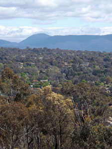
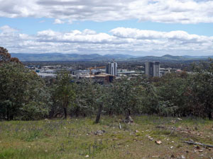 View over Belconnen Town Centre from Gossan Hill |
 A firetrail on Gossan Hill |
|
|
||
 Scribbly gum forest near the Institute of Sport |
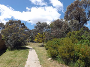
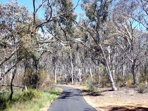 Cycle path through the forest |
|
|
||
 |
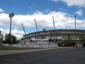 Bruce Stadium - home of the Brumbies |
 |
|
||
|
|
|
|
  |