| West Coast Trail (Carmanah Creek to Pachena Bay) |
Day 5 - Carmanah Creek to The Secret Campsite (13.5km - 120m ascent – 120m descent) |
|
 Chez Monique |
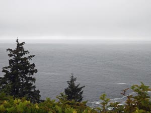
 Carmanah Point |
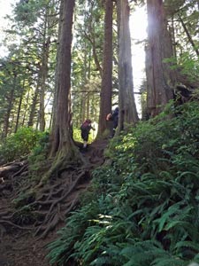
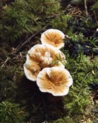
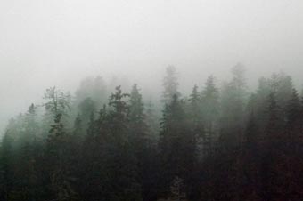
 The forest on Carmanah Point |
|
||
|
|
|
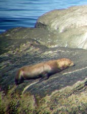 |
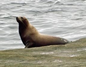
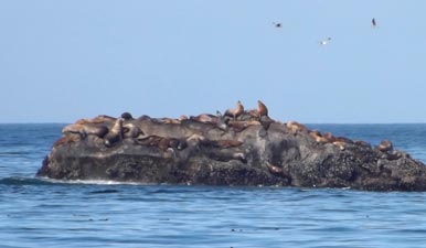 The off-shore choir of sea-lions |
|
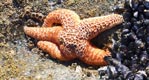
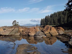 Reflections in a rock pool |
 |
 |
 |
|
|||
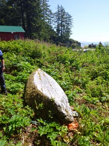
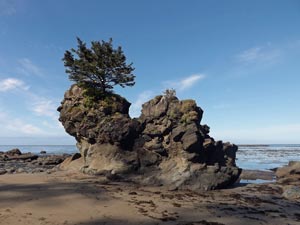 A curious rock formation |
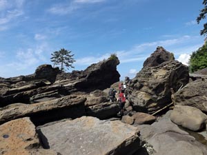
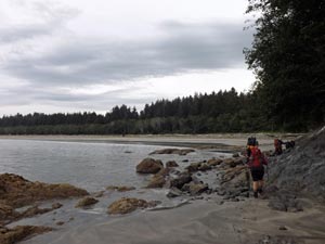
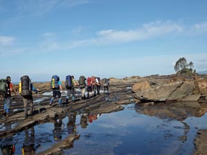 Indian file across the rock platform |
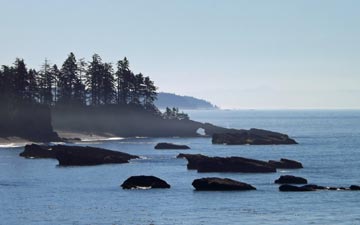
 View across to the Vancounver Island hinterland |
|
||
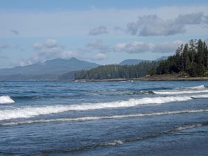
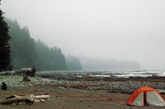
 Beach-walking west of Carmanah Point |
 Sandpipers piping |
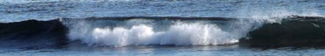
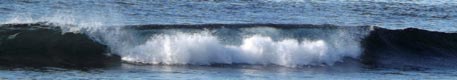
 The wildest waves of the trip |
 Heading across The Cribs |
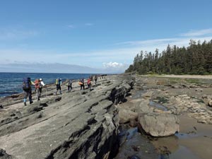
 Crossing a big rock jumble near Dare Point |
|
||
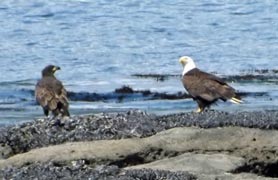
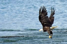
As we ate, I took in the magnificent land- and sea-scapes about me – decisions, decisions, do I watch the grey whale blowing out to sea or the bald eagle flying into shore with a fish in its talons? Such are the difficult choices faced on the West Coast Trail. |
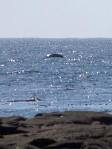 Grey whale off shore |
|
 |
 |
|
Lunch over, we continue on down the grey sand of a stretch of beach that Matthias told us was in 1916 planned to be the next super resort. Thankfully, it didn't eventuate (apparently the seas were so rough, that they couldn't land a shipload of potential investors). Midway down the beach, we ducked inland to regain the main trail at a point where the only dunes in this region can be found. |
|
||
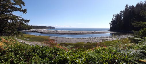
 The sand dunes of Clo-oose |
 |
 |
|
|
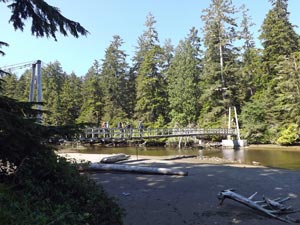
The trail led us through pleasant forest out of the Pacific Rim National Park and into Ditidaht tribal lands. We crossed the Cheewaht River (“urine” in Ditidaht, which says a lot about its potability) on a wide suspension bridge and reach the site of Clo-oose, a village abandoned by white settlers in 1966 and now part of the Ditidaht lands. |
||
 |
 |
 |
|
|
|
|
|
|
|
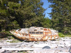 The rusting hulk of MV "Defiance" |
 A bit of driftwood art |
|
|
  |
Day 6 - The Secret Campsite to Tsusiat Falls (10km - 120m ascent – 120m descent) |
|
|||
|
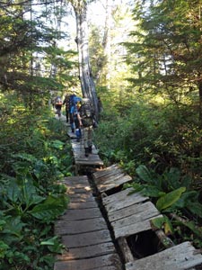 Another section of crumbling boardwalk |
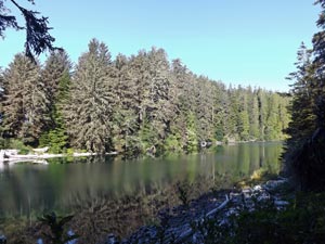
 A still forest pondage |
|
 Breakfast! |
|
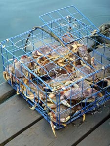
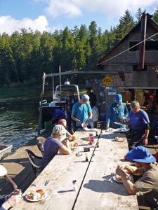 Crab feast in the morning sunshine |
|
|
|
|
||
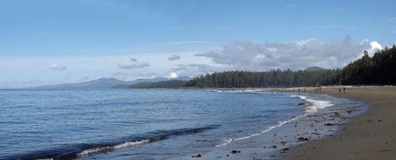
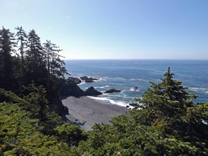 A grey sand pocket beach |
 Cypress-covered opening on the cliff-top |
|
|
||
 Crossing the beach before Tsuquadra Point |
 |
 A partially carved Ditidaht canoe |
|
||
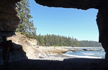
 Passing beneath an impressive overhang |
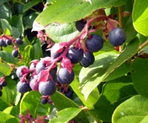
 A berry-filled bear poo (as close as we got to the real thing) |
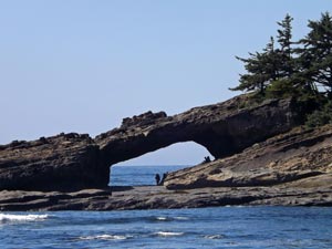 The Hole-in-the-Wall |
|
||
 View westwards from The Hole-in-the-Wall |
 View back eastwards from The Hole-in-the-Wall |
|
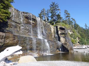
From the arch, we continued on our soft sand pathway between sandstone cliffs and waves crashing onto the beach. Again, it was a place to let the spirit roam free to the sound of sea and surf as we wandered slowly up towards the silvery veil of the Tsusiat Falls.
|
|
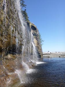
| The beach next to Tsusiat Falls was our campsite for the night and a very pleasant one indeed. The falls themselves tumble down from the sandstone cliff into a shallow plunge pool on the beach and made for a wonderfully refreshing natural shower. This was followed up by a nap in the shade of the tarpaulin that Evan had rigged up. It was the end of another “hard” day on the West Coast Trail. |
||
 Last rays of the sun light up the cliffs of Tsusiat |
 A superb Tsusiat sunset |
|
|
  |
Day 7 - Tsusiat Falls to Michigan Beach (13km - 150m ascent – 150m descent) |
|
|
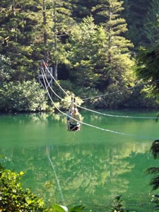
The only way to cross the Klanawa is by cable car and this we did – two by two – to cut through the forest on the other side and regain the beach. Then followed a two hour trudge along soft grey sand and gravel with the occasional diversion onto the rock shelf for easier walking.
The time passed quickly, the sun shone hotly and we were pleased to take a break in the shade near the stoney mouth of Trestle Creek while Matthias read the sad story of the wreck of the “SS Valencia” in 1906 on the rocks just ahead. It holed on a reef in deep fog through a series of navigational errors and, battered by huge seas and winds, broke apart over two days only 50m from the nearby cliffs. Only 37 survived and 136 were lost, including all the women and children, as rescue efforts failed or were bungled. Somewhat sombre, we climbed back up to the cliff-tops and headed to Valencia Point, below which the ship met its fate. The seas were blue and almost flat, belying the fury of the storm that wrecked this 1600 tonne iron-hulled steamship.
|
|
|
|||
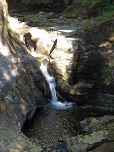 Upper waterfall on Tsocomis Creek |
 The coastal colours - green, grey and blue |
 Bridge and lower waterfall - Tsocomis Creek |
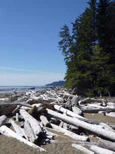 Another jumble of sea-smoothed tree-trunks |
|
||
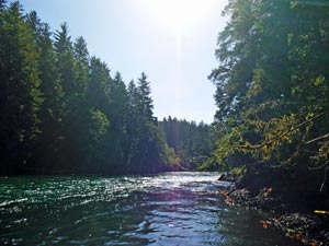
 Crossing the Darling River |
 |
|
|
 Boulder-strewn mouth of Michigan Creek |
|
 The end of Michigan Beach |
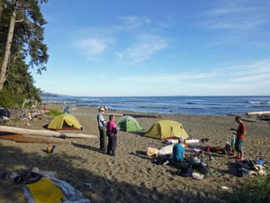 Campsite on Michigan Beach |
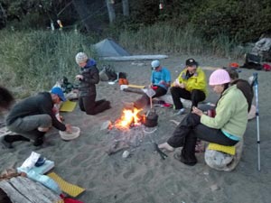 Our last campfire |
|
||
  |
Day 8 - Michigan Beach to Pachena Bay (12.5km - 210m ascent – 210m descent) |
|
|
 At last the fog rolls in |
 Morning sea-mist at Michigan Beach |
|
|||
 Leaving Michigan Beach on the way home |
 One last section of "boardwalk" |
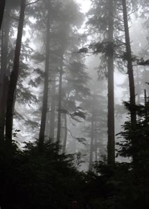 The beauty of forest in the mist |
 Pachena Lighthouse |
|
||
|
 |
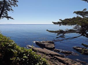
 Farewell to the Pacific Ocean |
 On the last section, the path is wide ...... |
 .... and the trees are tall |
 A last impression of the West Coast forest |
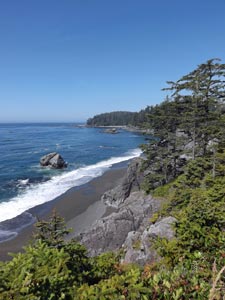
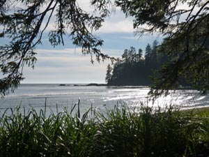
 Pachena Bay |
|
|||
 Arriving at Pachena Beach and the end of the trail |
 |
 The obligatory end of trek group photo |
|
||
 The way home - crossing the strait from Nanaimo back to Vancouver (just because I like it) |


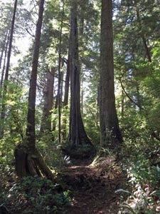
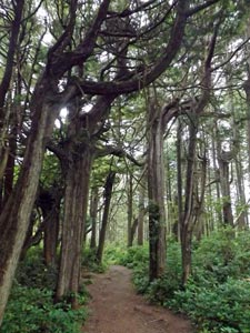
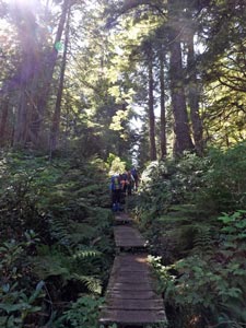 Entering the forest near Clo-oose